

 Recommended by
Le Routard & Le Petit Futé
Recommended by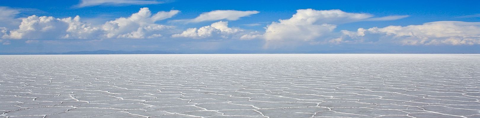
Bolivia offers extraordinary and immensely varied destinations. This section reviews the most important ones and gives you tourist and practical information on each to help you plan your trip.
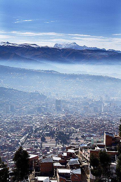
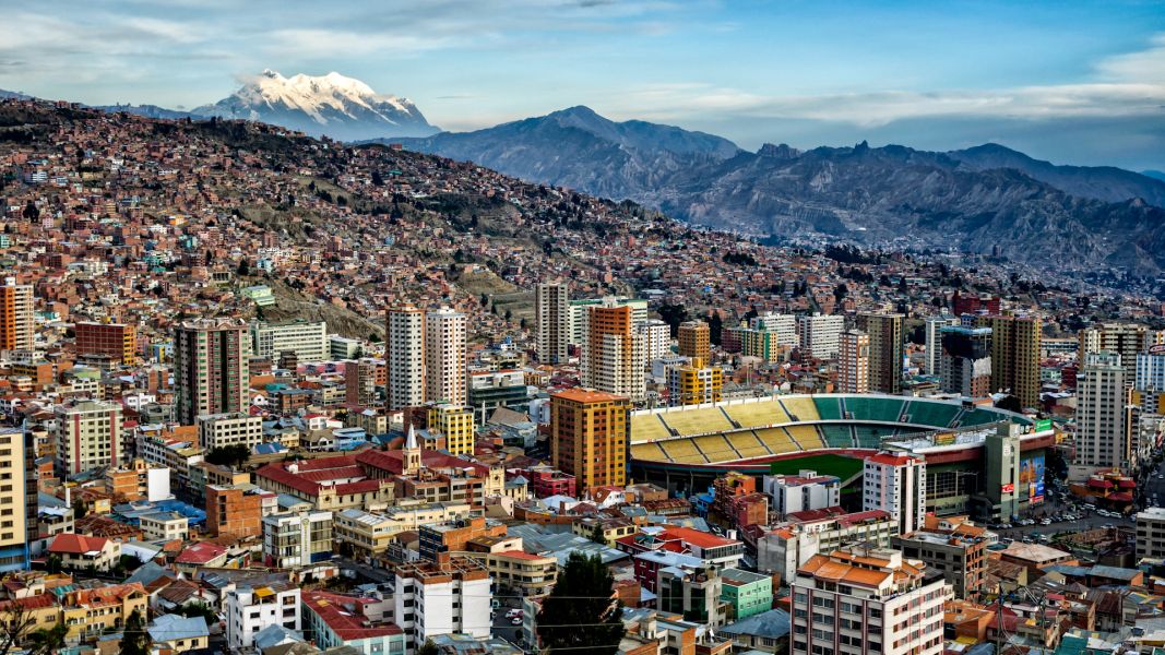
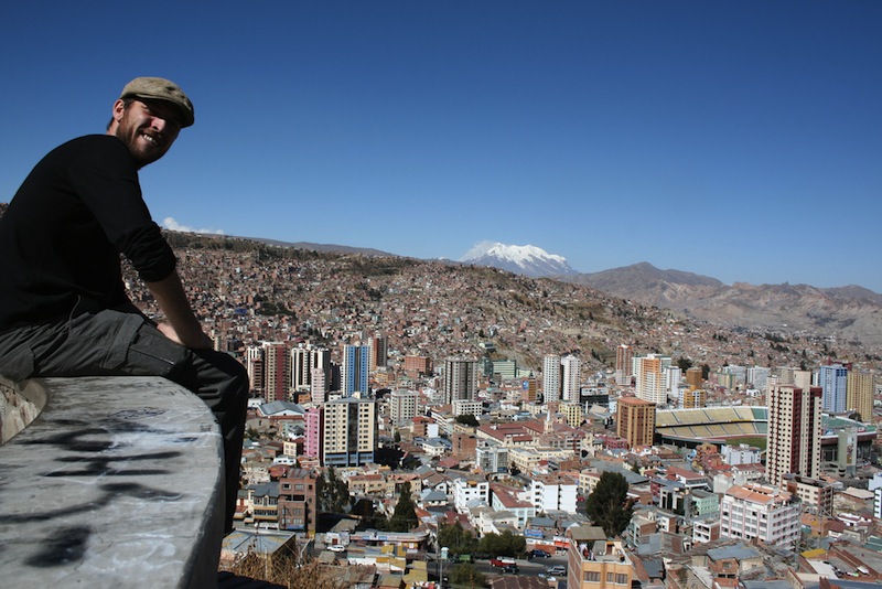
La Paz is not the most beautiful city you’ll see in Bolivia and Peru, but it may well be the one that surprises you most. Developed in a curious, tiered setting, the Bolivian capital is home to around 2 million people — mostly Aymara Indian, as across Andean Bolivia. The poorer city of El Alto sprawls across the altiplano above 4,000 meters, while the more upscale southern-zone neighborhoods lie nearly 1,000 meters lower, at 3,200 meters.
The best view of the city comes from El Alto: La Paz sits at the bottom of a basin, with the imposing Nevado Illimani rising in the background for a stunning panorama.
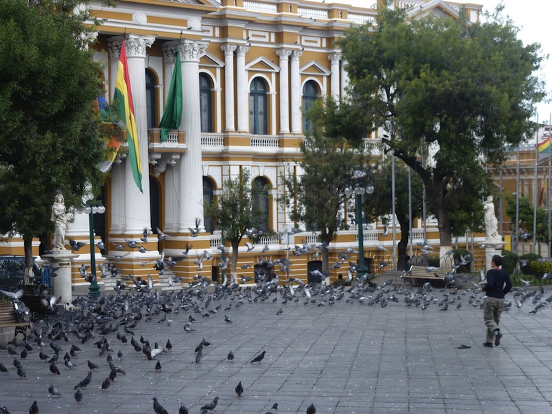
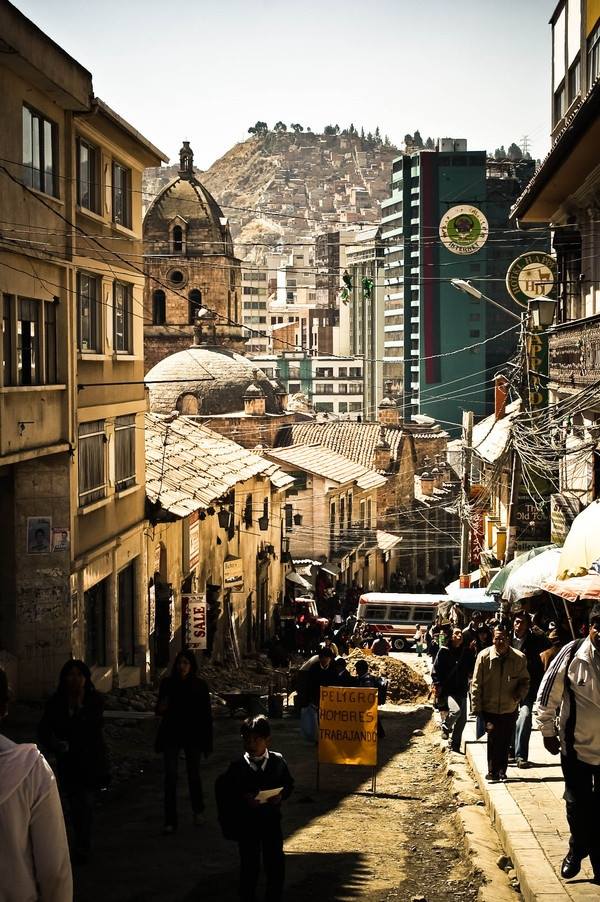
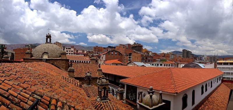
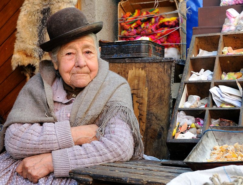
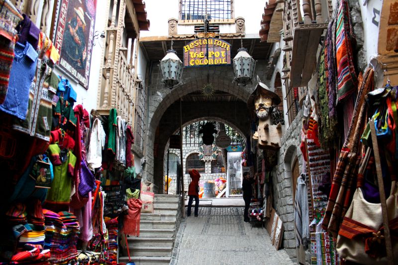
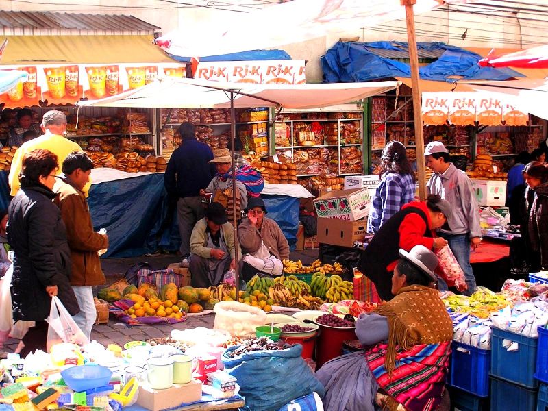
The historic center, at 3600 meters and home to most hotels, is a tangle of steep streets given over to a permanent market — a cheerful chaos that doesn’t seem to bother anyone, where the slow traffic is matched only by the patience of Bolivian drivers. Plaza Murillo, home to the presidential palace, is arguably the area’s prettiest spot.
Further down, the modern district of Sopocachi stands out for its skyscrapers, hotels and some of the city’s best restaurants — more orderly and pleasant, if less “typical”.
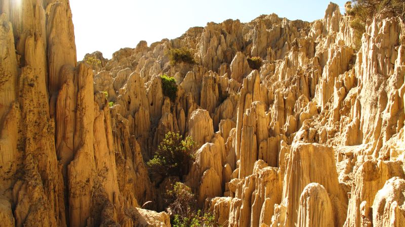
At the bottom of the city lies the Valley of the Moon, a popular site where erosion has carved crumbly rock into hundreds of hoodoos and thread-like spires.
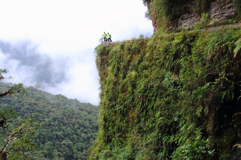
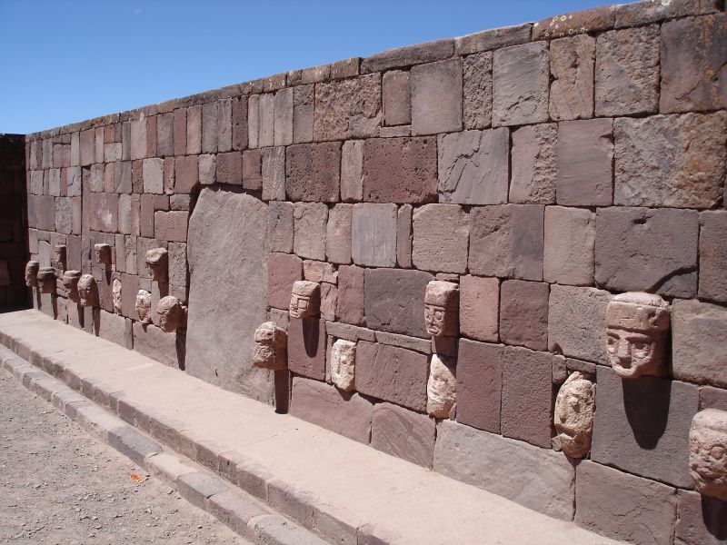
La Paz is a mandatory stop for reaching most of Bolivia’s destinations, and the starting point for excursions such as Coroico via the famous “Death Road”, the archaeological site of Tiwanaku, Sajama National Park, or Lake Titicaca’s Copacabana and Isla del Sol.
Maximum daytime temperature (monthly average):
Minimum nighttime temperature (monthly average):
By air:
By land:
For more information about these hotels, you can check out the Hotels in La Paz page.
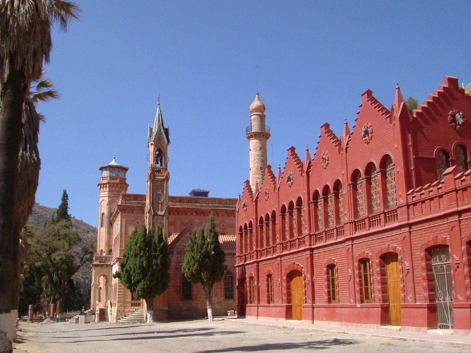
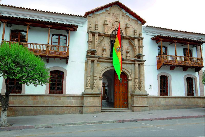
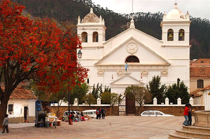
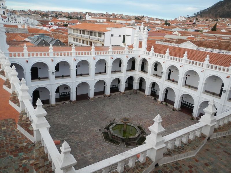
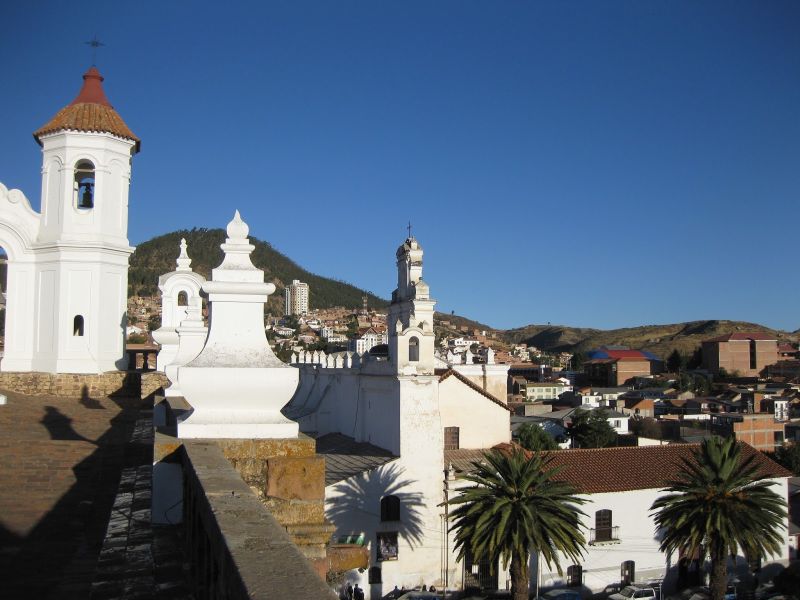
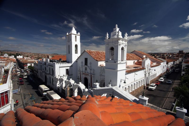
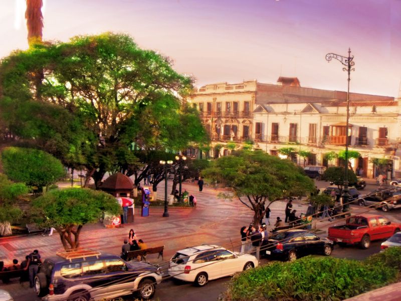
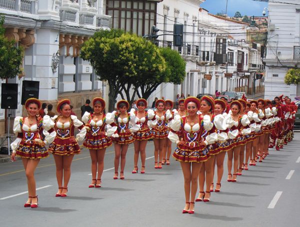
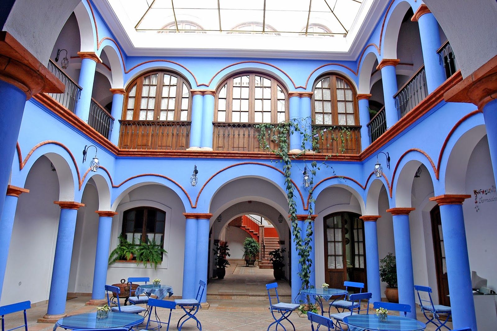
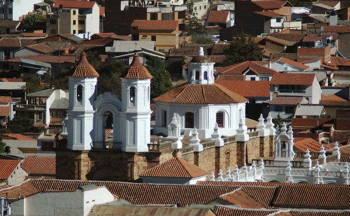
This is arguably Bolivia’s most beautiful city: a colonial city of white buildings and tiled roofs with the peaceful charm of a provincial town. Its architecture, tranquility, spring-like climate and moderate altitude make it one of the most pleasant stops on a trip to Bolivia, with highlights including the San Felipe Neri Convent, the Casa de la Libertad, the Recoleta Convent, the textile museum and the Cal Orcko dinosaur tracks.
At a moderate altitude for Bolivia — 2,750 meters — Sucre also offers better hotel and dining options than neighboring Potosi or Uyuni, making it a pleasant stop to rest before or after the rigors of the Andean plateaus.
A half-day guided tour of the historic center is recommended, taking in the Recoleta Convent, the textile museum, and the Casa de la Libertad, where Bolivia’s independence was declared and which is now a museum on the country’s history.
Spend another half-day wandering the city freely — visit the San Felipe de Neri Convent, or simply enjoy the charm and tranquility of the colonial center.
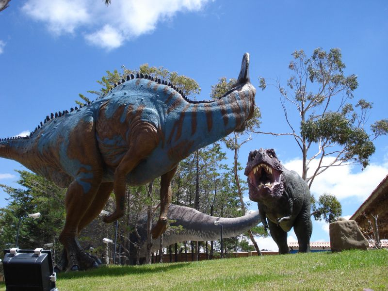
A taxi ride takes you to the Cal Orcko paleontological site, 5 kilometers from Sucre, home to one of the largest displays of dinosaur footprints, plus a museum and life-size dinosaur reconstructions.
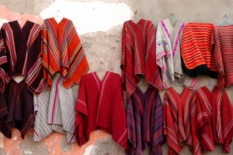
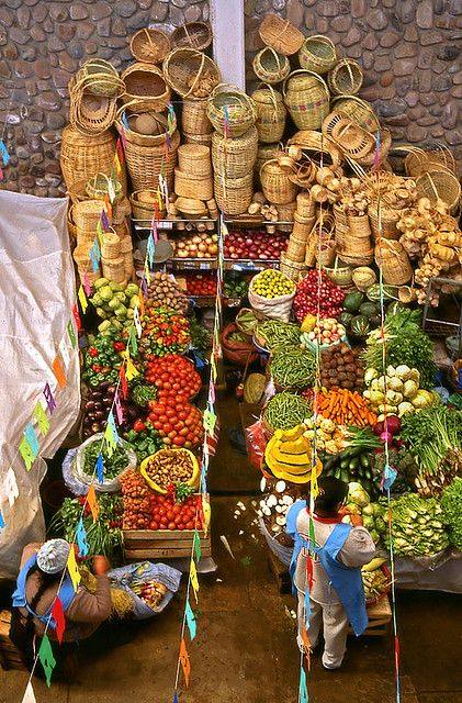
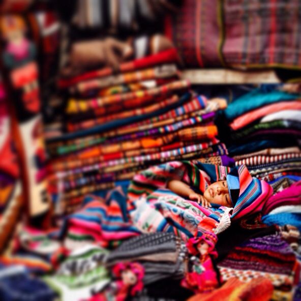
60 kilometers away, the village of Tarabuco is known for its Sunday market, where this strongly indigenous region’s traditional textiles and ancestral bartering trade are still on display.
Maximum daytime temperature (monthly average):
Minimum nighttime temperature (monthly average):
By air:
By land:
For more information about these hotels, you can see the Hotels in Sucre page.
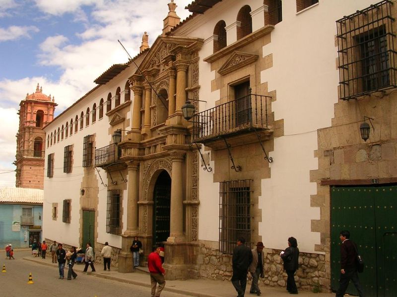
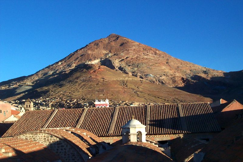
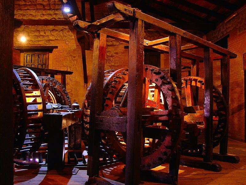
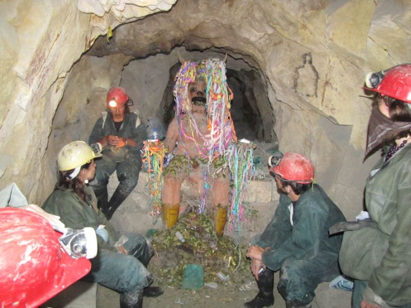
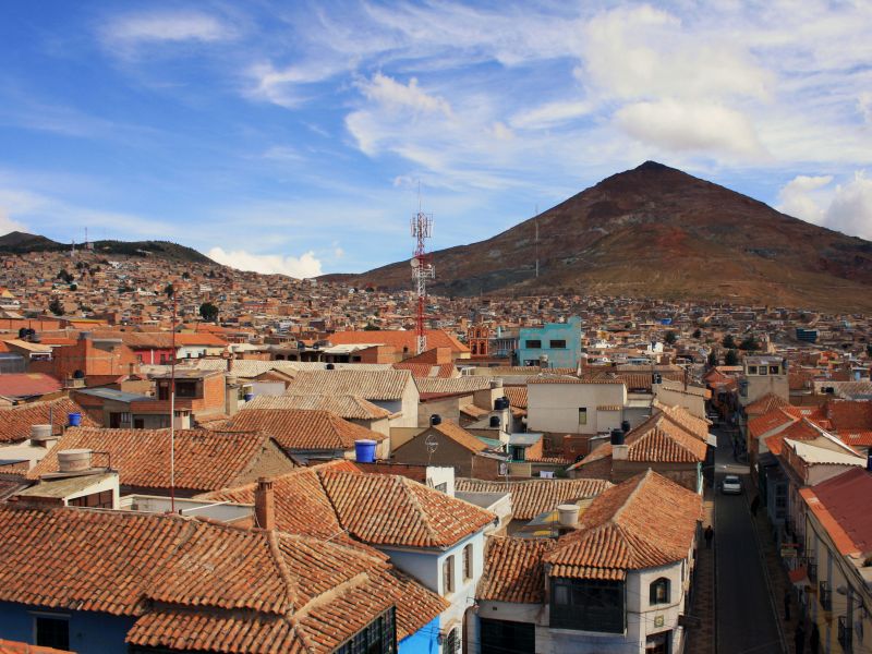
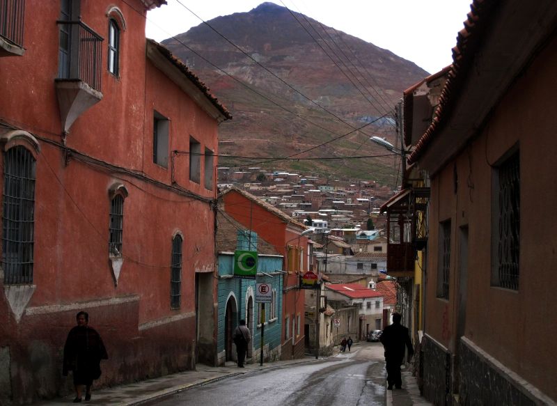
Potosi is a UNESCO World Heritage Site for its historical importance between the 16th and 18th centuries, when it reportedly had more inhabitants than Paris or London. Located in southern Bolivia, roughly halfway between Sucre and Uyuni, its wealth came from the Cerro Rico, the mountain overlooking the town, whose fabulous silver deposits funded the Spanish crown for more than two centuries. The mines, still worked today, can be visited, as can the Casa de la Moneda, where silver coins were minted.
Founded in the sixteenth century, Potosi became one of the largest and most important cities on the continent. In Spain, the expression "vale un Potosí" ("it’s worth a Potosi") meant "it’s worth its weight in gold" — echoing the French "c’est le Pérou" ("it’s a fortune").
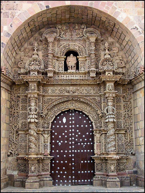
The historic centre still bears witness to this splendour, especially the cathedral and the Casa de la Moneda, where the continent’s coins were minted for centuries — though Potosi’s colonial-era prosperity is long behind it, and its facades are now often faded.
Most visitors stay just one night in Potosi, as the altitude (4,000 metres) and cold climate hardly invite lingering.
A half-day visit to the historic centre, in particular the Casa de la Moneda, is recommended.
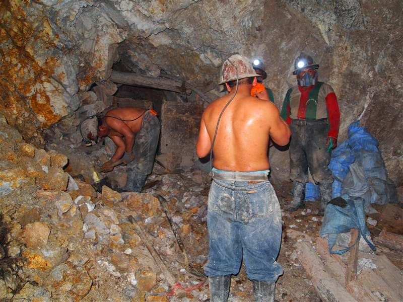
A half-day visit to the Cerro Rico mines is almost a must (though not for the claustrophobic): hundreds of miners still work the secondary veins in a largely artisanal way, through an incredible maze of tunnels.
Maximum daytime temperature (monthly average):
Minimum night-time temperature (monthly average):
By plane:
By land:
For more information about these hotels, you can visit the Hotels in Potosi page.
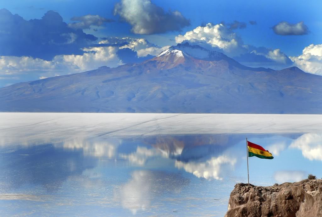
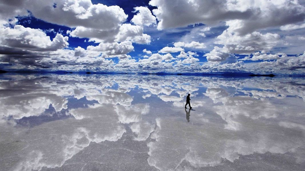
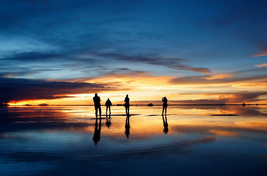
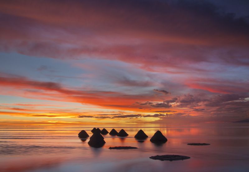
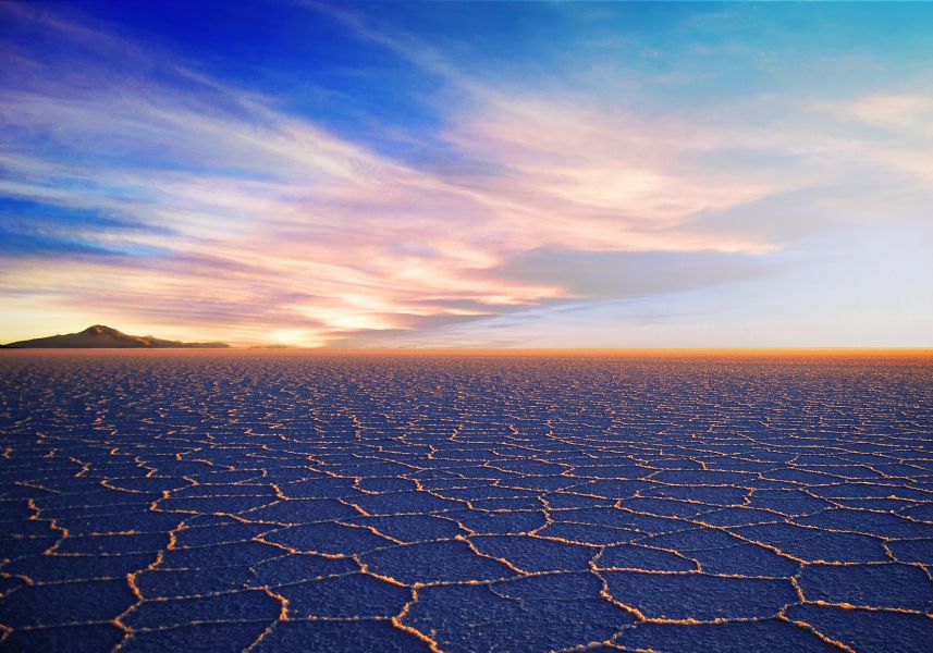
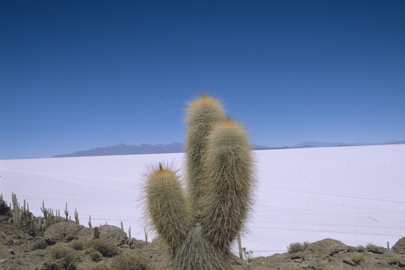
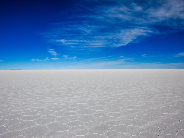
This is the standout moment of most trips to Bolivia: the Uyuni salt flat, one of the planet’s most unusual natural wonders. This immense, perfectly flat desert of salt seems completely unreal — like an inland sea, with rocky islands emerging from the sparkling white salt and breathtaking 360-degree views. A day-long 4x4 excursion here will be a trip highlight.
The classic excursion is a one-day trip in Land Cruiser-type 4x4s, with group services using 1 vehicle per 6 passengers (plus driver and often a cook); private services are also available.
You first visit the Uyuni train cemetery, then head to Colchani, a village on the Salar’s edge where locals live from traditional salt harvesting.
Next, the 4x4 crosses the vast salt desert to Incahuasi Island, 80 kilometers from Colchani, where a 360-degree view takes in the entire Salar and surrounding mountains, including the Tunupa volcano — a truly extraordinary landscape before returning to Uyuni in the late afternoon.
A 2-day option lets you cross the entire salt flat and climb the Tunupa volcano (5,430 m).
Note that heavy rain from January to March can flood the Salar de Uyuni — the scenery grows even more surreal, but Incahuasi Island becomes inaccessible and excursions then run along the salt flat’s edges.
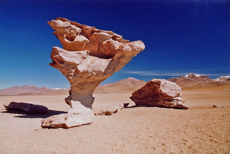
From Uyuni, 3 to 4-day 4x4 excursions reach the remote Southern Lipez region. The classic route runs 3 days, departing from and returning to Uyuni.
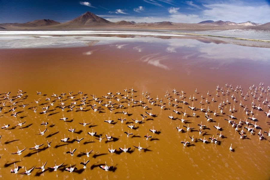
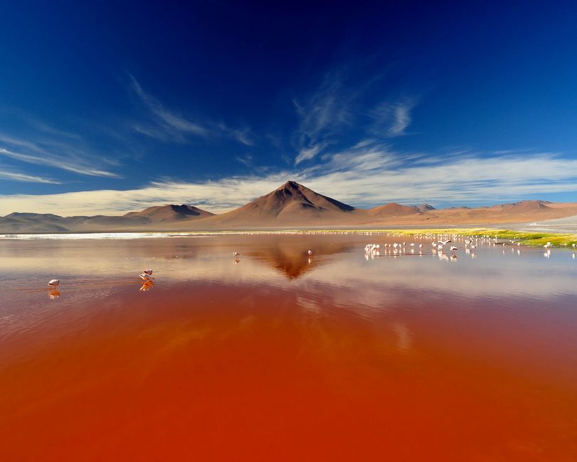
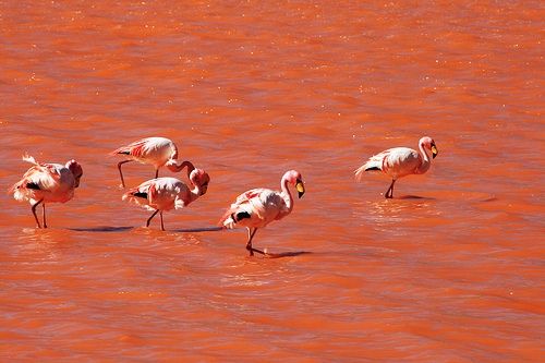
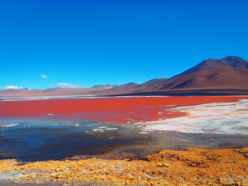
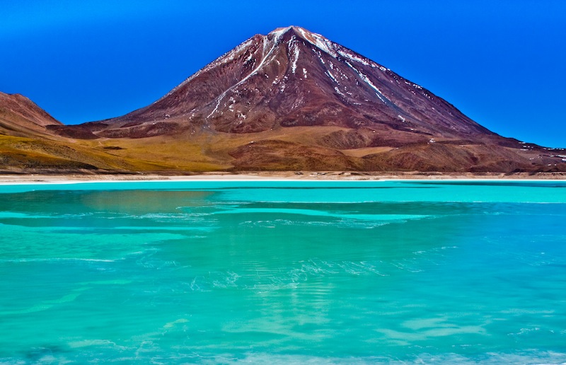
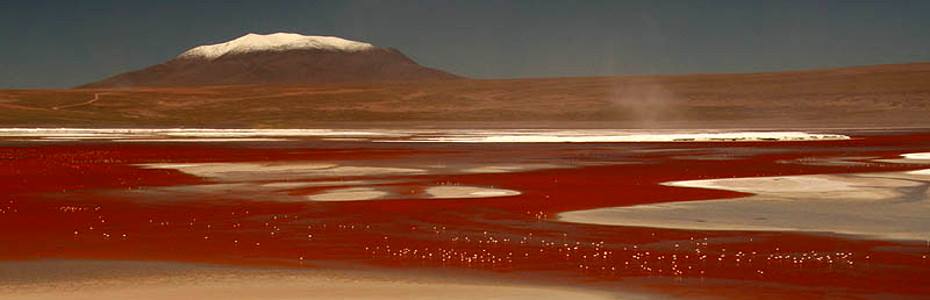
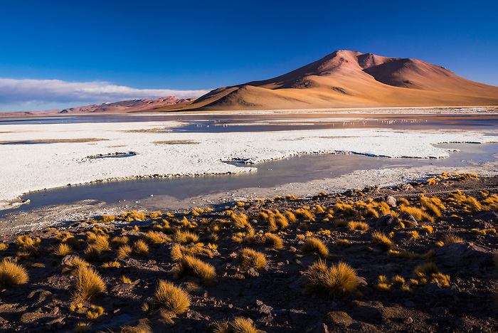
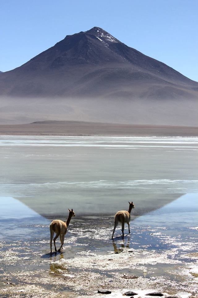
Day one crosses the Salar de Uyuni past Incahuasi Island; day two heads south into Avaroa Park in the Southern Lipez, with a succession of spectacular lagoons including the red-watered Laguna Colorada.
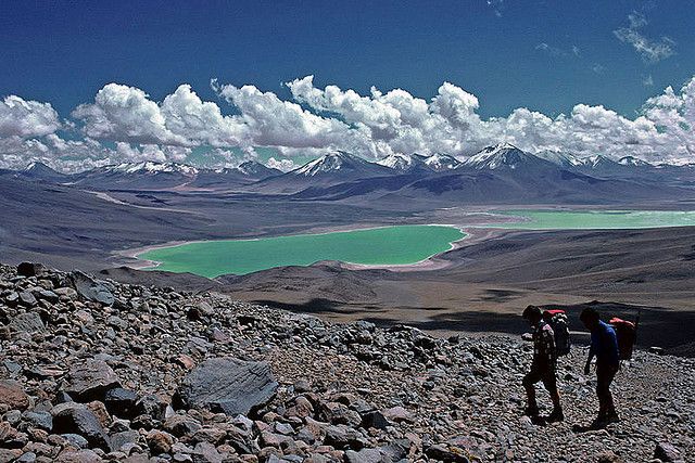
The last day continues to the emerald Laguna Verde, from where you can reach the Chilean border and San Pedro de Atacama, or return to Uyuni in the evening.
Because that last day is particularly long, some travelers prefer a 4-day version instead, departing from Tupiza and passing Laguna Verde on day 2, Laguna Colorada on day 3, and finishing with the Salar de Uyuni on day 4.
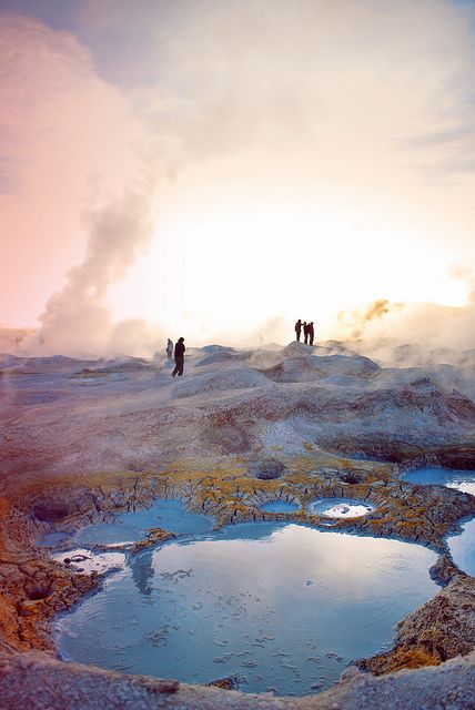
Note this is still adventure tourism with fairly basic comfort — long days by 4x4 on dusty tracks, simple lodging sometimes without hot water, altitude around 4,000 meters, and winter nights that can drop to -15ºC. But those who venture here find pristine landscapes and lagoons in almost unreal colors.

Maximum daytime temperature (monthly average):
Minimum nighttime temperature (monthly average):
By air:
By land:
For more information about these hotels, you can see the Hotels in Uyuni page.
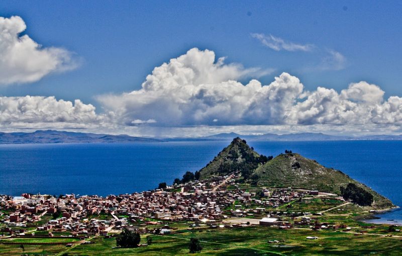
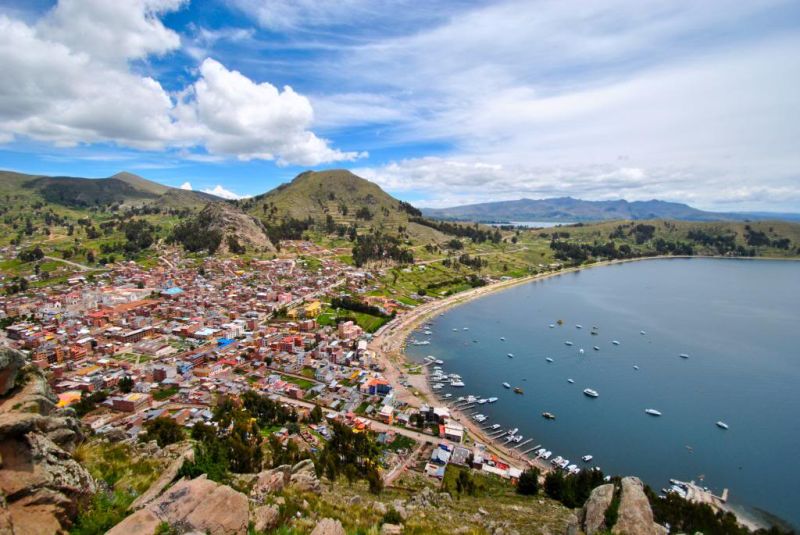
Lacking a sea, Bolivians treat Lake Titicaca as their coast, and the village of Copacabana, on its shore about 3 hours’ drive from La Paz and from Puno, is their main seaside resort — a place to relax at 3,800 meters altitude. There are a few hotels, mainly along the lake, but very few of 3-star category or above.
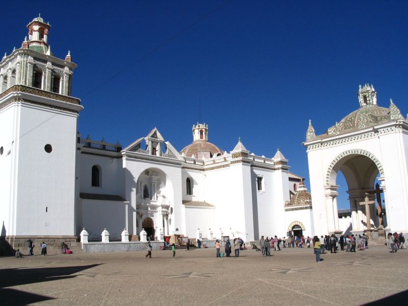
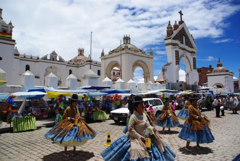
Copacabana is also an important pilgrimage site, honoring the Black Virgin — Bolivian and Peruvian truck and bus drivers come here to have their vehicles blessed.
Surprisingly, this town of a few thousand inhabitants has a basilica far larger than its size would suggest — well worth a visit.
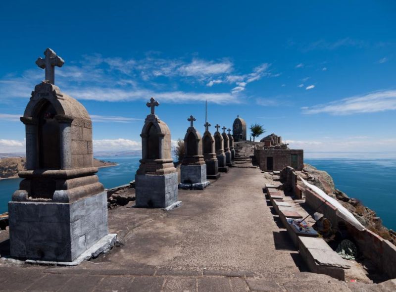
You can also climb the Calvario hill overlooking the village — a modest elevation gain, but at this altitude you’ll likely arrive out of breath. The top rewards you with a magnificent view over Lake Titicaca, Isla del Sol and Isla de la Luna.
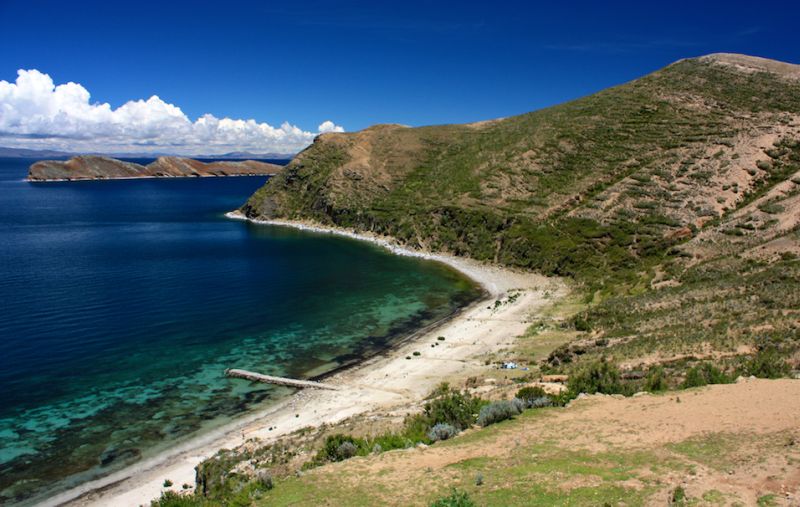
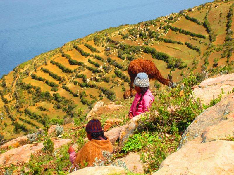
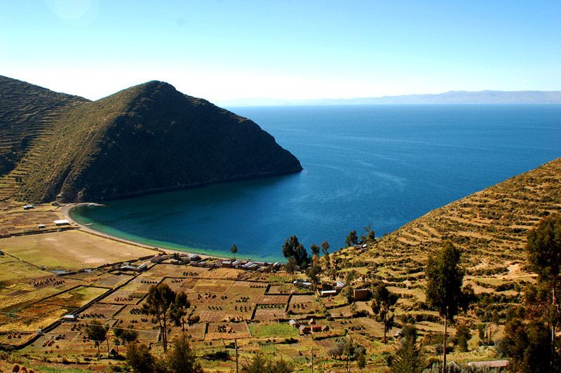
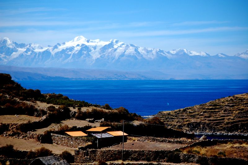
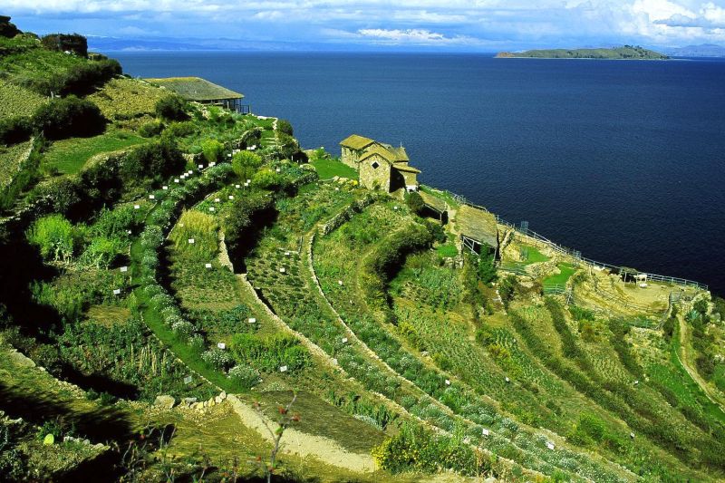
Copacabana is also the starting point for an excursion to Isla del Sol, Titicaca’s largest island, an hour and a half away by boat. According to legend, it’s the island from which Manco Capac and Mama Ocllo, founders of the Inca empire, set out. Crossing it from north to south takes about half a day on foot (roughly 10 kilometers), with splendid views over the lake and the snow-capped Cordillera Real. A 2-day excursion with one night on the island is also possible.
Maximum daytime temperature (monthly average):
Minimum nighttime temperature (monthly average):
By plane:
By land:
For more information about these hotels, you can visit the Hotels in Copacabana page.
With a tailor-made trip designed just for you, our team on the ground supports you from your first message until your return home.