


 Recommended by
Le Routard & Le Petit Futé
Recommended by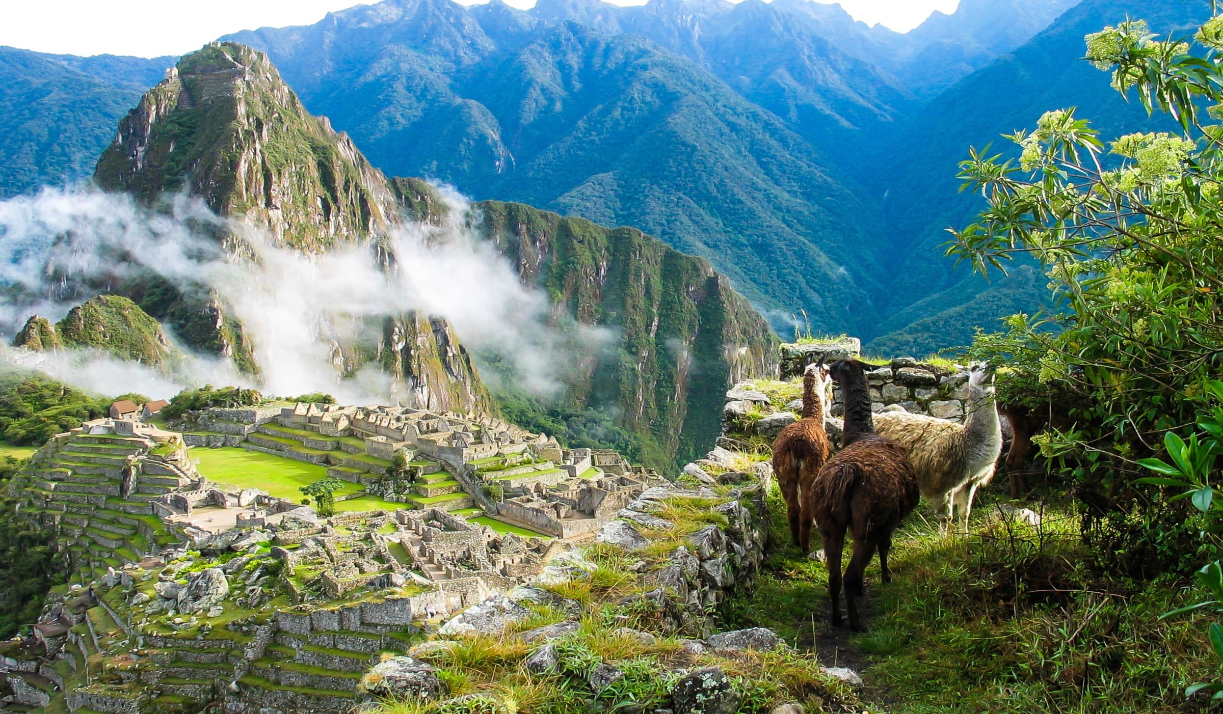
Peru offers extraordinary and immensely varied destinations. This section reviews the most important ones and gives you tourist and practical information on each to help you prepare your trip to Peru.
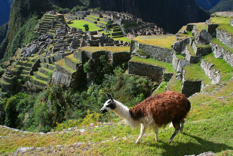
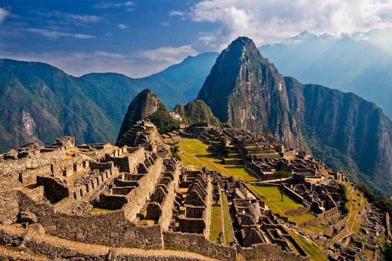
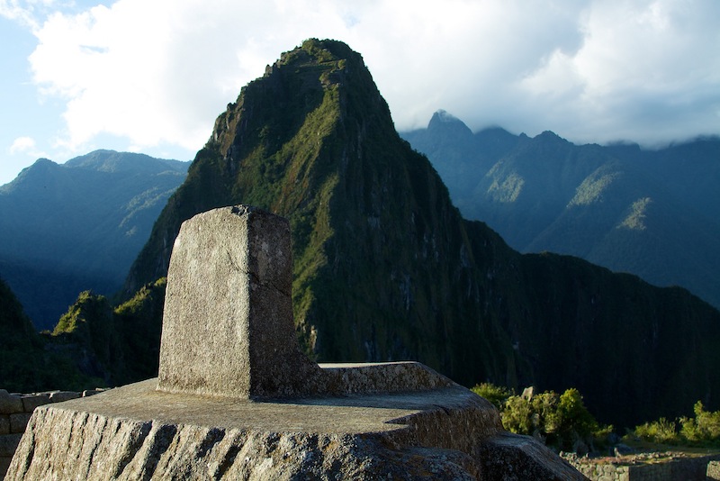
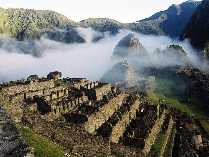
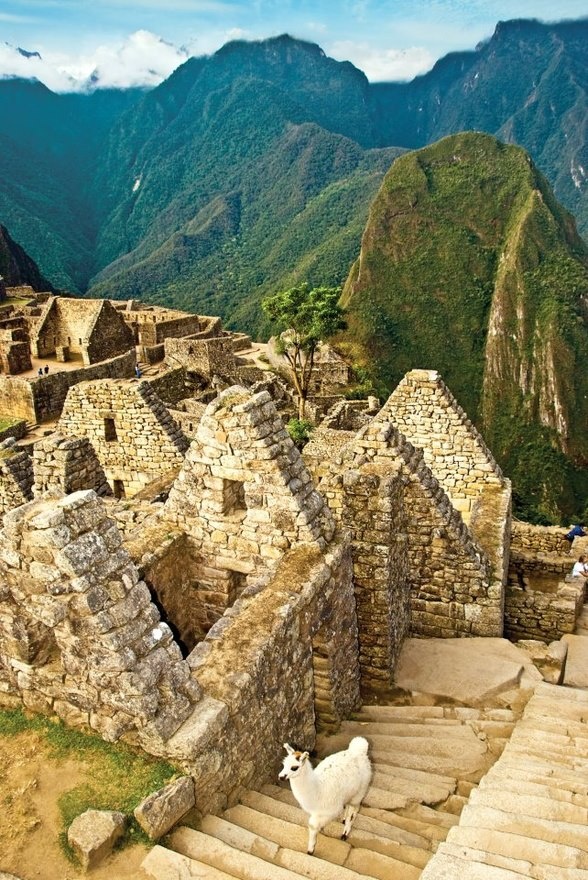
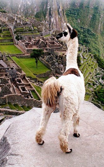
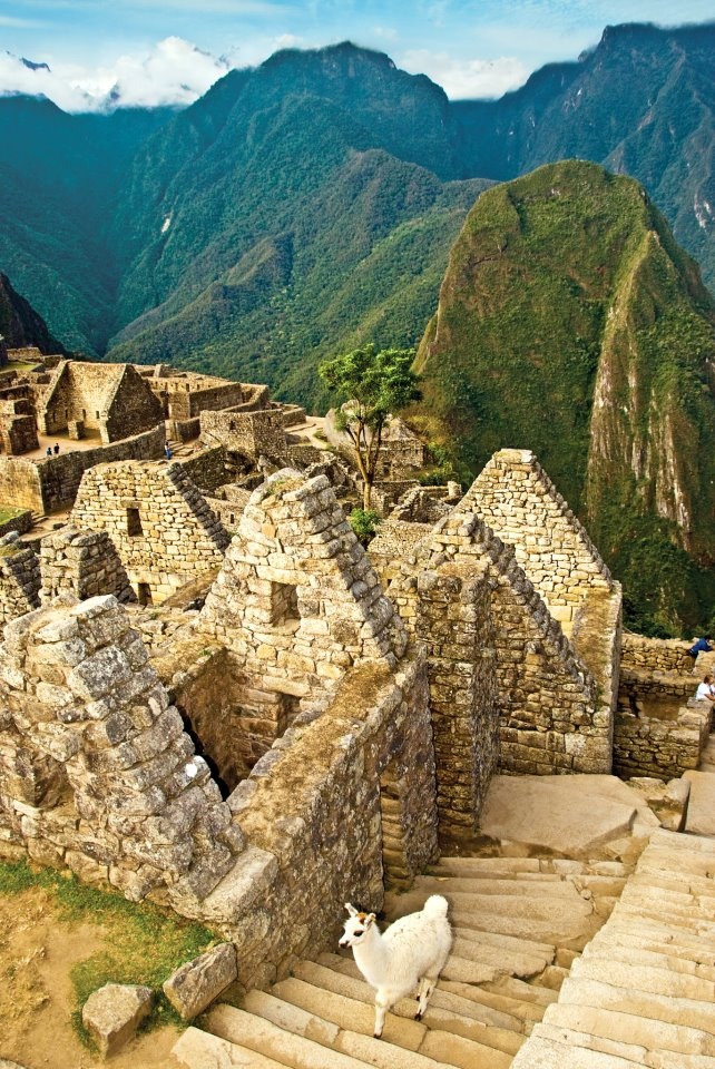
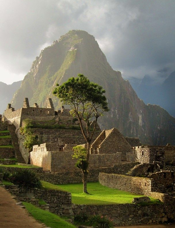
Machu Picchu is the icon of Peru and will undoubtedly be the highlight of your trip: its reputation is well deserved. Beyond the beauty of the archaeological site set amid semi-tropical nature, it offers options for those with a little extra time, such as climbing Huayna Picchu for a splendid view, or heading to the sun gate "Inti Punku".
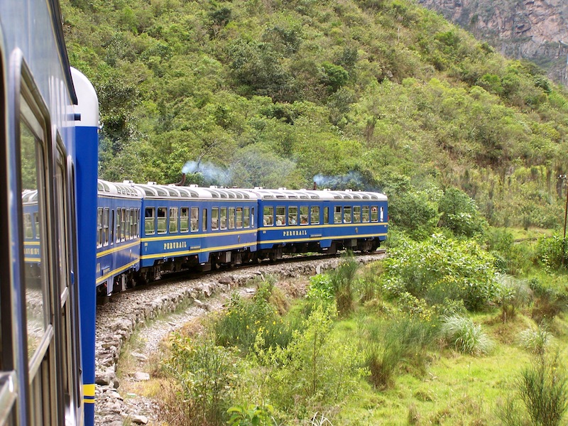
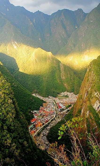
It is traditionally reached by train from the village of Ollantaytambo in the Sacred Valley of the Incas or from Poroy station near Cuzco — an hour and a half from Ollantaytambo, three and a half hours from Poroy. From Ollantaytambo, the train winds through impressive scenery: the Urubamba gorge narrows until you reach Aguas Calientes, a village hemmed in by near-vertical rock walls several hundred meters high.
From there, a shuttle bus climbs a dizzying road through the high-altitude tropical forest — about twenty minutes to reach Machu Picchu.
You can also arrive on foot. The Inca Trail trek reaches Machu Picchu through the Sun Gate (Inti Punku) on the morning of the fourth day. It requires good physical condition, with altitudes over 4,000 meters and elevation gains of up to 1,200 meters per day. Places are limited, so book several months ahead.
An alternative is the Salkantay trek: 4 days through the mountains to Aguas Calientes, with the Machu Picchu visit on day five.
A visit to the main site takes about 2 hours at a relaxed pace — also the length of guided tours. The must-see highlights are the Intiwatana and the Temple of the Sun.
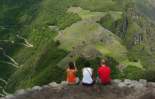
With more time, you can explore further, in particular climbing Huayna Picchu or "Machu Picchu Mountain."
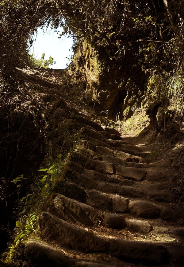
Climbing Huayna Picchu takes about an hour, on a steep path with staircases carved into the rock by the Incas. The summit has a few minor structures, but the real appeal is the splendid view over Machu Picchu and the Urubamba River nearly 1,000 meters below.
Another option is Machu Picchu Mountain, a peak near Huayna Picchu with no Inca structures — lower, less known, less crowded, and with equally spectacular views.
For panoramic photos, head to Inti Punku, the Sun Gate, a former military outpost that controlled Inca Trail access to Machu Picchu. It's about an hour's gradual, easy climb, and unlike Huayna Picchu and Machu Picchu Mountain, there is no additional cost.
With even more time, visit the Temple of the Moon via the Huayna Picchu path, then left — about 3 hours round trip for this temple built into caves, possibly linked to funerary rites.
If you spend a night in Aguas Calientes, an evening visit to the hot springs in the upper part of the village is warmly recommended.
With a few free hours, visit the Mandor waterfalls, less than an hour's walk along the railway toward Santa Teresa — a roughly thirty-meter waterfall amid semi-tropical forest.
For thrill-seekers, the ascent of Putucusi, a peak about 600 meters high, follows a dizzying path with sections on ladders. It's tiring and sometimes frightening, but rewards with a unique viewpoint over Machu Picchu. Allow about 4 hours round trip.
By train:
By road:
On foot:
For more information about these hotels, you can visit the Hotels in Machu Picchu page.
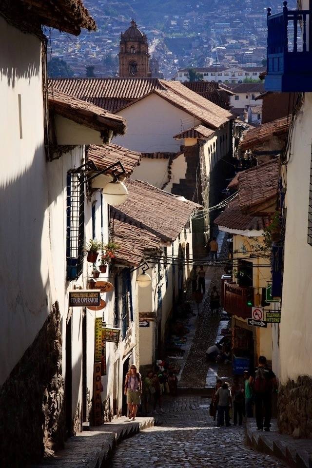
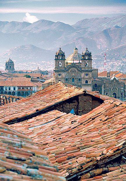
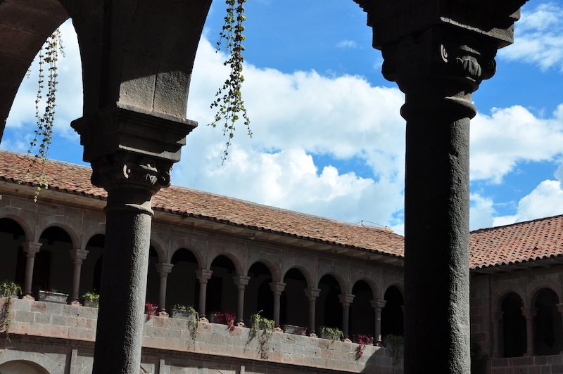
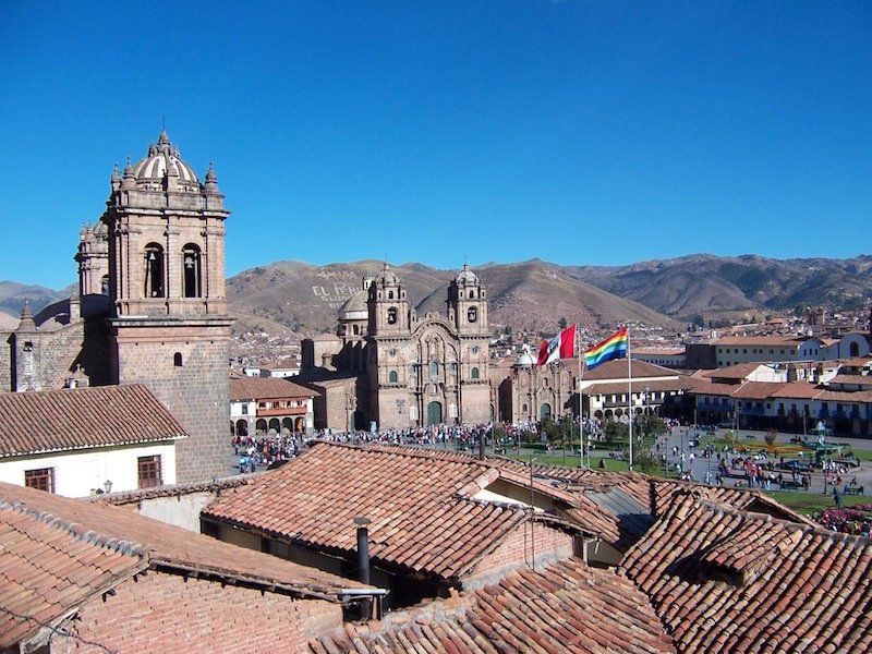
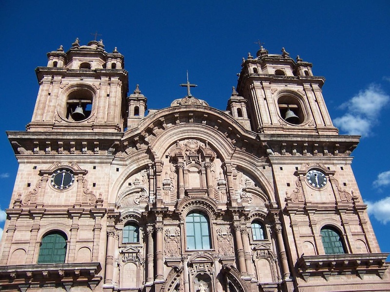
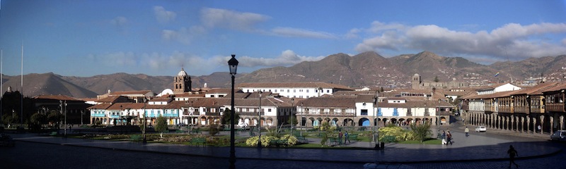
Cuzco is an unmissable stop on any trip to Peru. For the Incas, the imperial city was the navel of the world; today it is the country's tourist hub and, with Machu Picchu, the highlight of any trip to Peru. Beyond being the country's most beautiful city, it has a unique charm, blending ancient Inca walls of perfectly cut stone with Spanish colonial architecture.
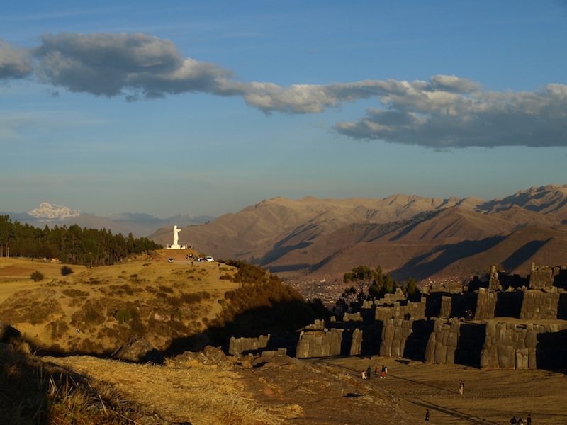
Cuzco offers visitors plenty to do. The city is dominated by one of the most impressive Inca constructions: Sacsayhuaman, an enormous fortress of gigantic, perfectly fitted stones, some over 3 meters high and weighing nearly 20 tons — a must-see. A few kilometers further, other Inca sites are also worth a visit: Kenko, Puka Pukara, and Tambomachay.
Beyond a half-day guided tour of these Inca sites, we recommend setting aside at least one free day to enjoy Cuzco's charm.
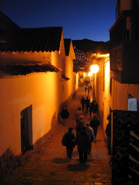
Enjoy the generally sunny climate to stroll through the historic center, its flower-filled squares, or the San Blas neighborhood, with streets so narrow the sidewalks sometimes can't fit two people, and so steep some turn into staircases. Discover an extraordinary heritage: numerous Inca and colonial-era museums, the richly decorated cathedral, or the Koricancha, or Temple of the Sun, the political and spiritual center of the Inca empire, on which the Spanish built the church of Santo Domingo.
This is also a cacao-producing region: visit the ChocoMuseo and make your own chocolate bar in a workshop.
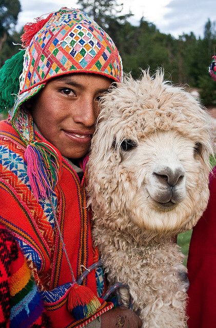
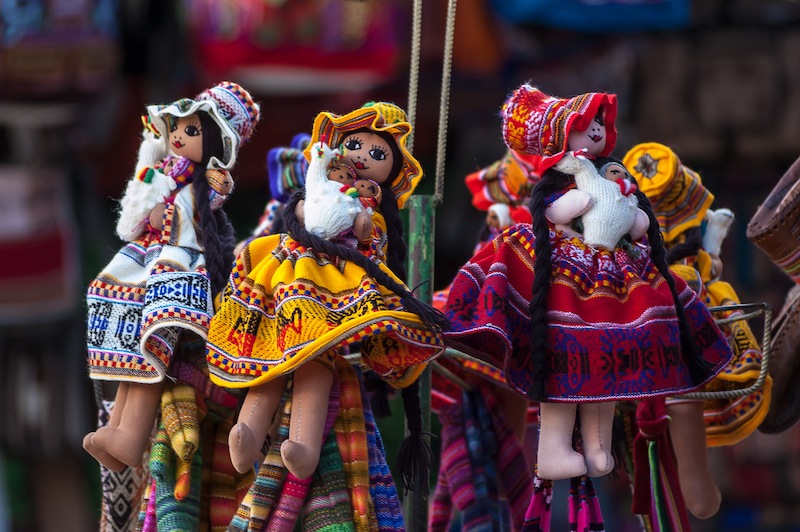
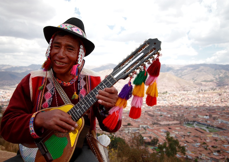
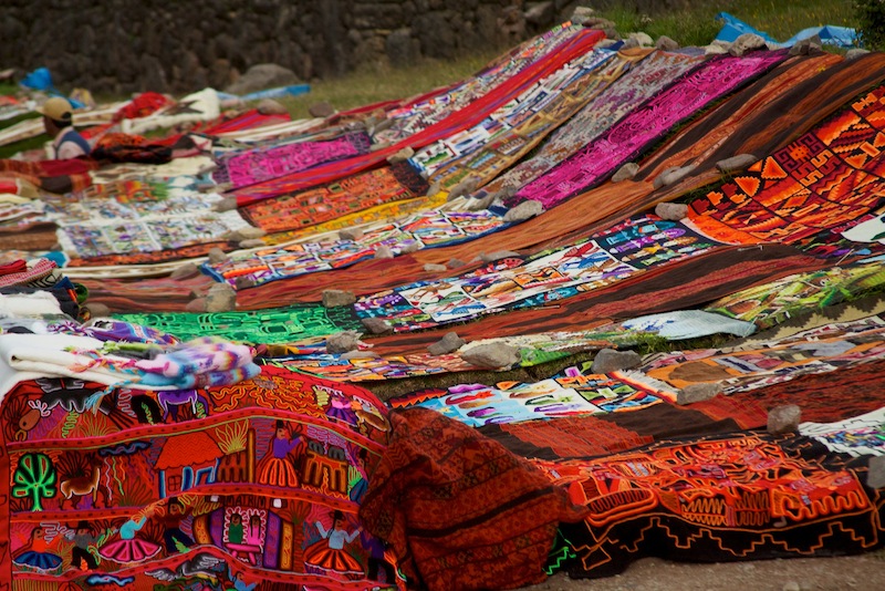
Cuzco is also a city where you can breathe in Andean culture, that blend of Indigenous and Spanish lifestyles and customs — best felt at the Saint-Pierre market, Cuzco's main market, in the city center.
Cuzco is also the ideal starting point for numerous excursions. Less than an hour's drive away is the Sacred Valley of the Incas, and 3 hours away is Machu Picchu — both covered on their own dedicated pages.
Cuzco also sits in a beautiful Andean region, green from its proximity to the Amazon basin, with mountain ranges rising over 6,000 meters. Hiking enthusiasts will find splendid multi-day treks in the Salkantay massif, the Ausangate, toward the Inca city of Choquequirao, and of course the most famous of all, the 4-day Inca Trail to Machu Picchu.
Maximum daytime temperature (monthly average)
Minimum nighttime temperature (monthly average)
By air
By road
For more information about these hotels, you can visit the Hotels in Cuzco page.
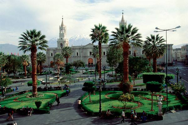
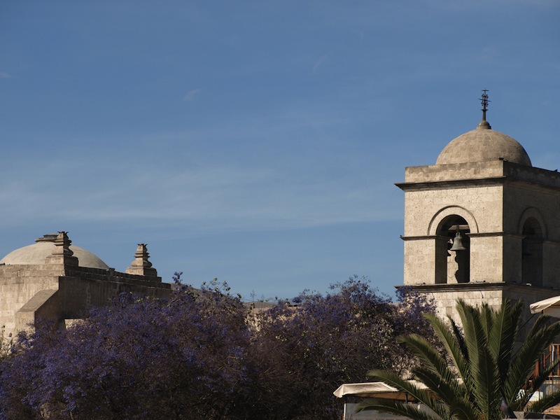
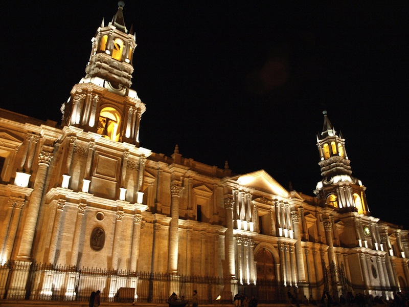
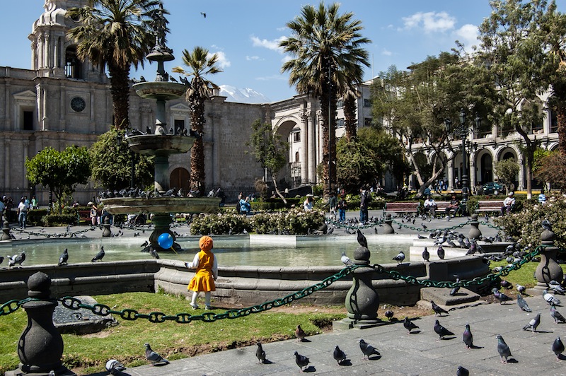
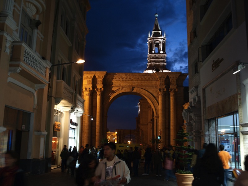
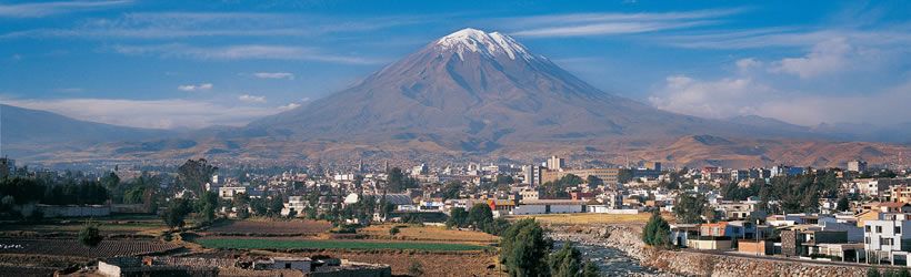
Arequipa is one of Peru's most beautiful cities. Nicknamed the white city for the volcanic stone of its buildings, it is a colonial city full of charm. Its climate is sunny nearly year-round and its altitude moderate (2,300 m), making it an ideal stop before tackling the high altiplano. A good range of hotels and restaurants makes it one of the most pleasant stops on your trip.
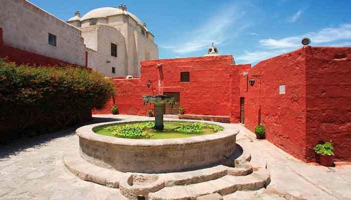
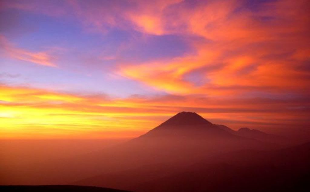
A half-day guided tour is recommended to discover the city's most beautiful corners: the Yanahuara district with its square, church, and sillar houses; a lookout point with a panoramic view of the city and its 3 volcanoes; and the colonial center, including the Santa Catalina Monastery.
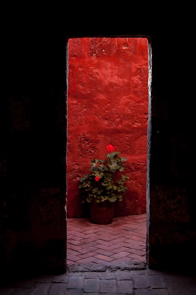
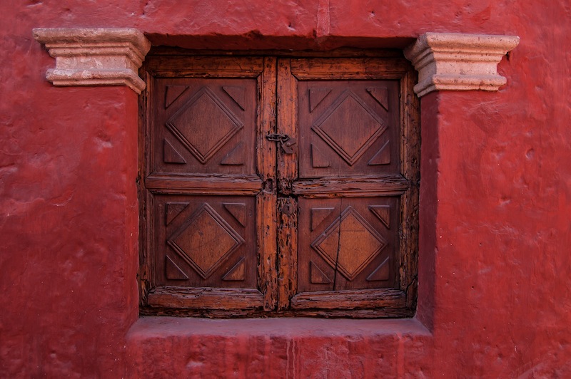
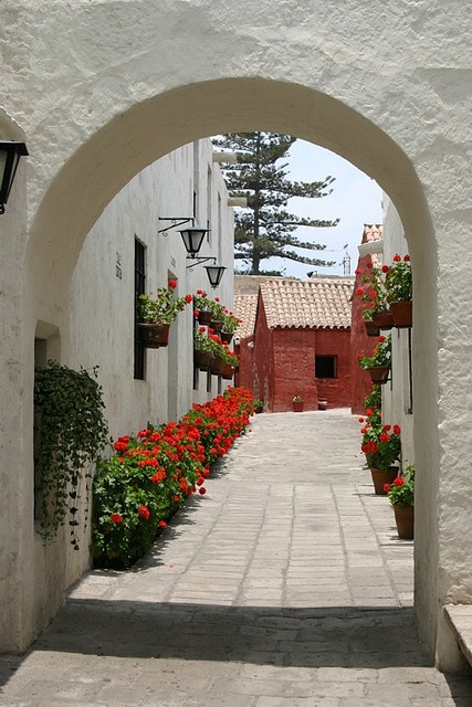
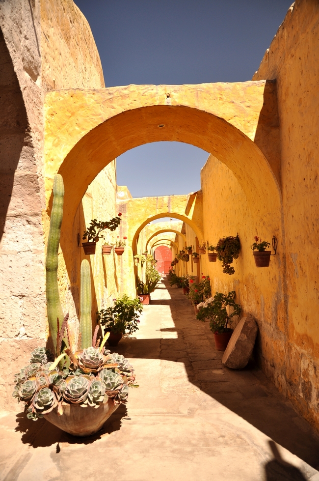
Santa Catalina is the largest monastery in Peru and one of Arequipa's finest colonial buildings. Built in the 16th century, it has housed a community of nuns for over 4 centuries, and its streets and courtyards evoke Andalusia. The visit takes about an hour and a half.
A free half-day to enjoy the charm of Arequipa's colonial center is well worth it — you could use it to visit the museum of the mummy Juanita, a young girl sacrificed in Inca times whose body was found in the glacier of the Sabancaya volcano.
Other museums and religious monuments worth a visit include the monasteries of Santa Teresa and La Recoleta (the latter with a library of 17th-century books), the Church of San Agustín, the Church of the Society of Jesus (whose cloisters are freely accessible), and the Casa del Moral colonial museum.
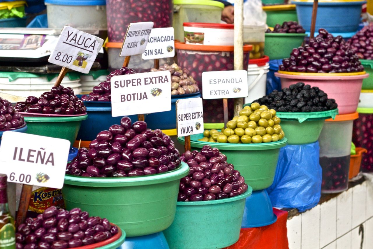
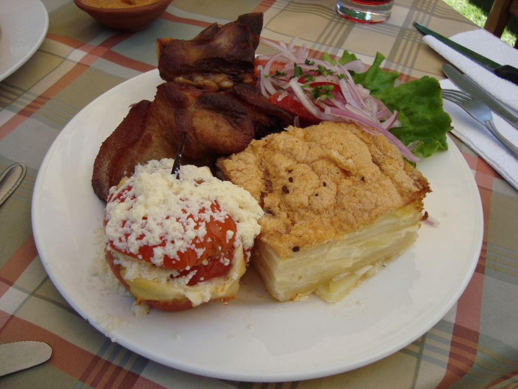
The San Camilo Market, a few streets from the Plaza de Armas, is also worth a wander for the lively atmosphere and variety of local food: potatoes, fish, vegetables and, above all, fruit.
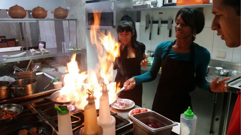
If you're interested in cooking, we offer a Peruvian cooking class in Arequipa, where you'll learn to prepare ceviche and lomo saltado, two of Peru's most iconic dishes.
A roughly 3-hour excursion covers Arequipa's immediate surroundings, visiting colonial buildings such as the Sabandía mill and the founder's manor house, by private vehicle or one of the panoramic buses departing from the Plaza de Armas.
For adventure, we recommend the half-day rafting excursion on the Río Chili, fun and well organized. For something off the beaten track, a one- or two-day excursion to the Majes valley reveals the Peruvian coastal desert and this superb oasis, with its famous Toro Muerto petroglyph site.
If you're in excellent physical condition, you can also try climbing Misti volcano, which towers over Arequipa at more than 5,800 meters. The 2-day expedition rewards the effort with an extraordinary view of the crater and its fumarolic activity.
Arequipa is also the starting point for excursions of 2 days or more to the Colca Canyon — see its dedicated section for more information.
Maximum daytime temperature (monthly average):
Minimum nighttime temperature (monthly average):
By air
By land
For more information about these hotels, you can visit the Hotels in Arequipa page.
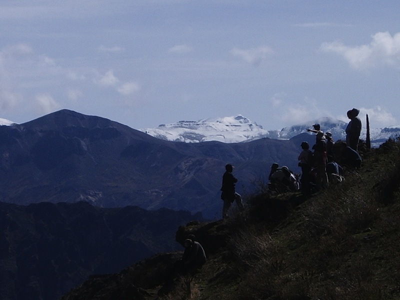
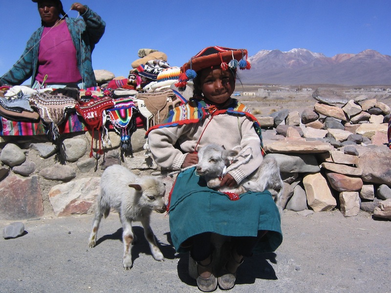
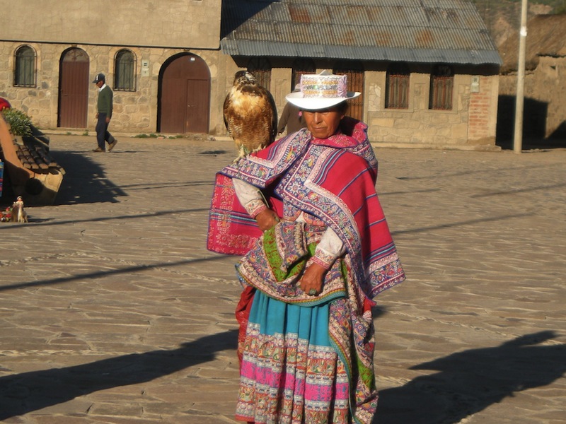
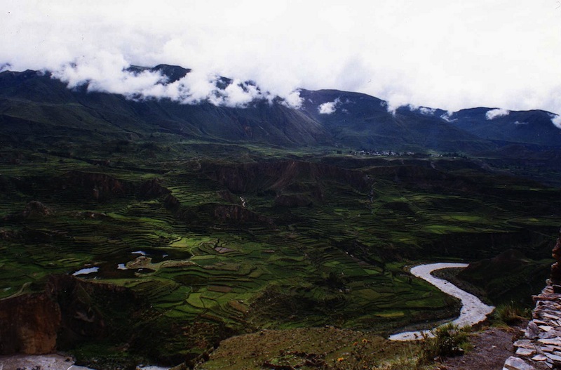
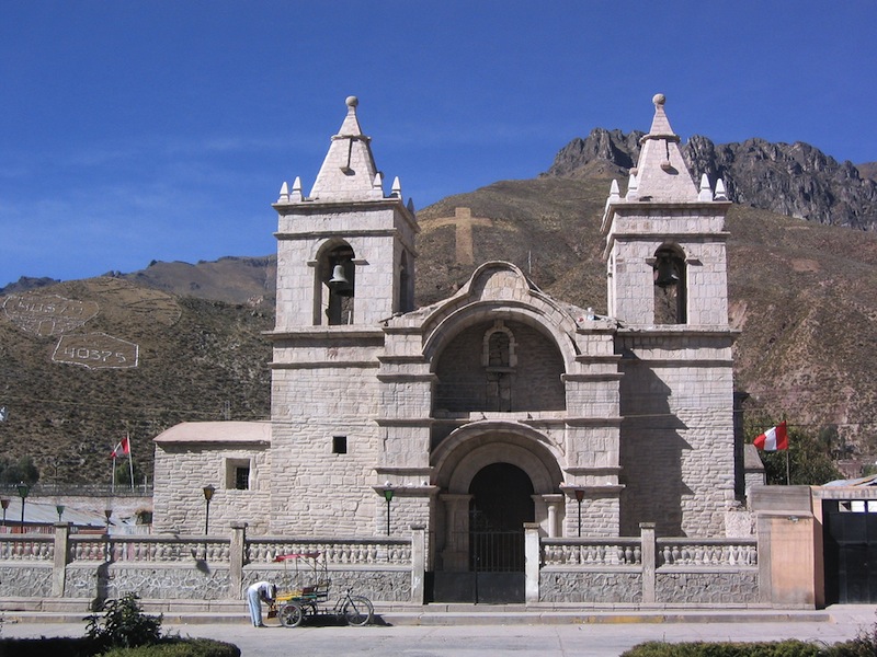
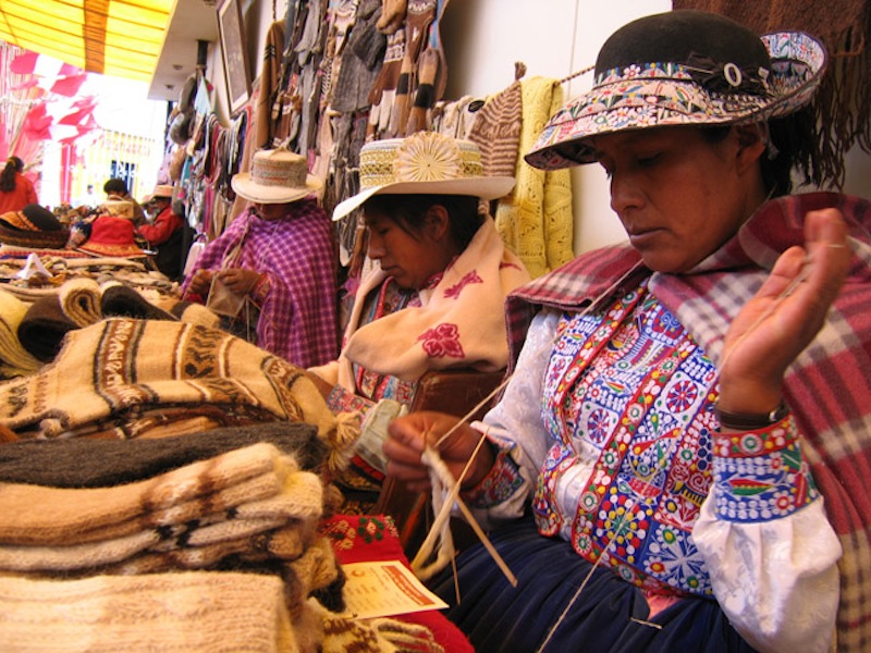
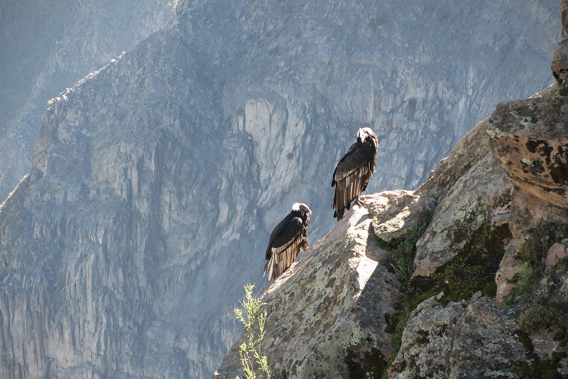
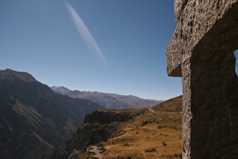
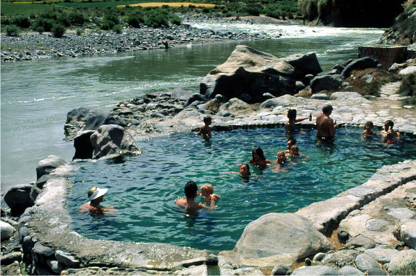
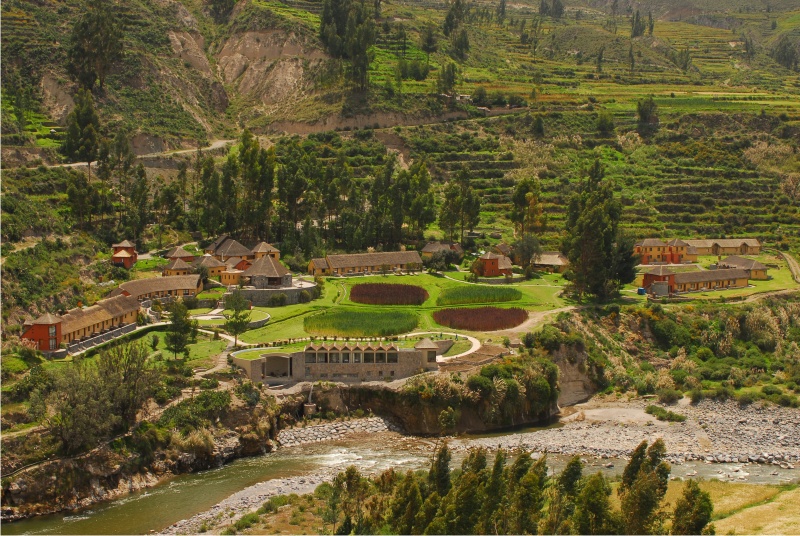
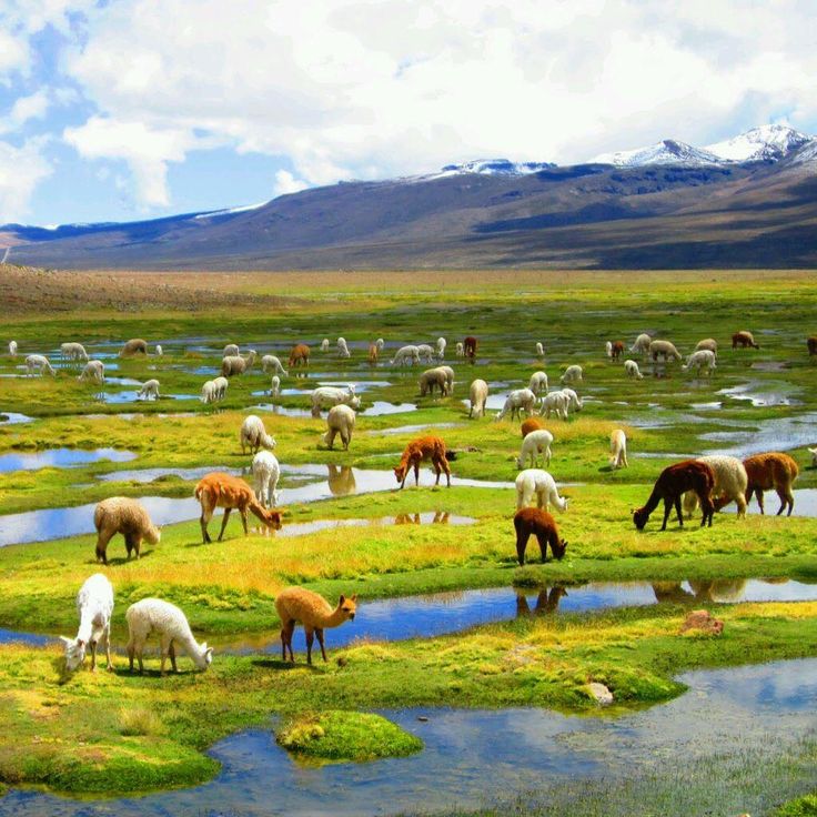
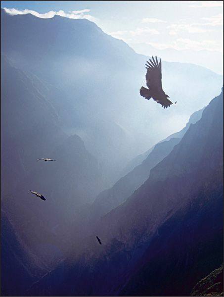
Often described as "the deepest canyon in the world" — a debatable claim, since it depends on where you measure from — Colca Canyon has become a classic stop on most trips to Peru. At the Cruz del Condor viewpoint, the river lies 1,000 meters below, while on the other side the mountains rise more than 2,000 meters above the canyon: an impressive scale either way. Beyond the grandeur of its landscapes, Colca is known for its hot springs and its condors, sometimes seen flying as close as 10 meters away. Those who enjoy mountain hikes can also do a multi-day trek there.
The classic excursion lasts 2 days and covers the main highlights: the terraced valley, the canyon, the condors, and the hot springs. It can be done as a shared tour (minibus with 15-25 people, English- and Spanish-speaking guide) or in a private vehicle with a French-speaking guide. The condor viewpoint is popular, but the scenery along the way is well worth it.
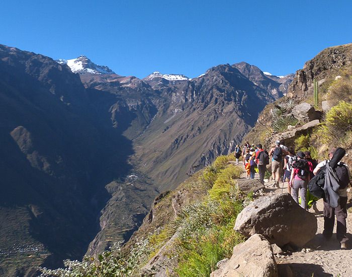
You can also choose a 3-day trek to explore the bottom of the canyon and its remote villages, reachable only on foot. Accommodation is more basic, and good physical shape helps with the 1,000 meters of elevation change, both downhill and uphill.
For moderate activity without giving up comfortable lodging, add an extra day to the classic 2-day excursion for horseback riding or an easier walk through the valley's cultivated areas, crossing paths with farmers leading their herds and getting a taste of rural Andean life.
You can also stay with a local family for a day, discovering their way of life and surroundings in their company.
Excursions usually end back in Arequipa, but you can head directly to Puno on the shores of Lake Titicaca instead, saving a day of travel — though returning to Arequipa for a night offers extra rest that helps with altitude acclimatization.
Maximum daytime temperature (monthly average):
Minimum nighttime temperature (monthly average):
By road:
For more information about these hotels, you can visit the Hotels in Colca page.
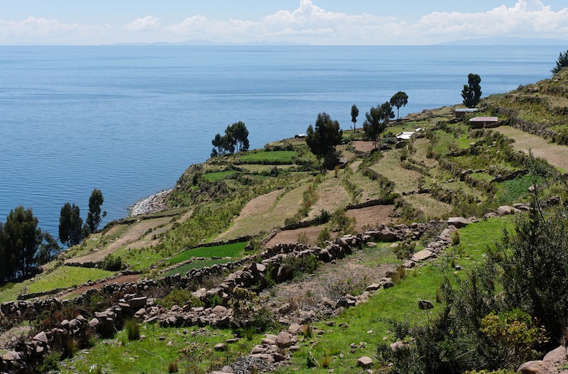
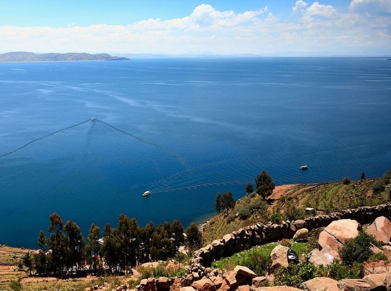
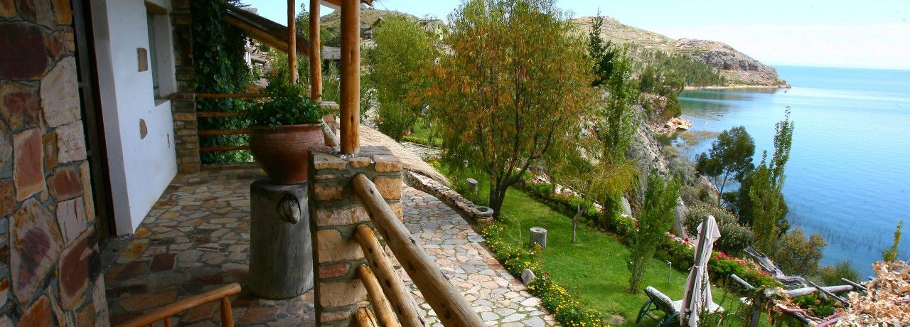
At 3,800 meters altitude on the border between Peru and Bolivia, and on the route between Arequipa and Cuzco, Lake Titicaca is a must on any Peru or Peru-Bolivia trip. Beyond its title of "highest navigable lake in the world," its appeal lies in its grand landscapes and the chance to discover the rural life of the Quechua and Aymara communities living on its shores and islands.
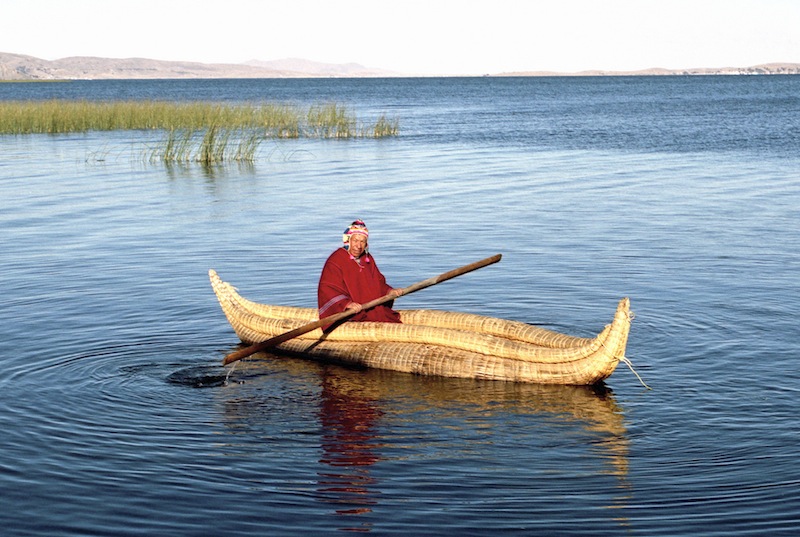
From Puno, several excursions let you sail on the lake. The most classic reaches Taquile Island on a one-day round trip, with a splendid view over the lake from the top of the island — though the 6-hour round-trip crossing on traditional boats is a downside.
You can also opt for a 2-day excursion with an overnight stay on Amantani Island, close to Taquile. The night with a local family gives you a closer look at their life and the rare tranquility of this island of silence, with no cars or dogs. Taquile Island is visited the next day.
If discomfort puts you off, the private island of Suasi offers a pricier but fully comfortable alternative with its hotel from the Casa Andina chain.
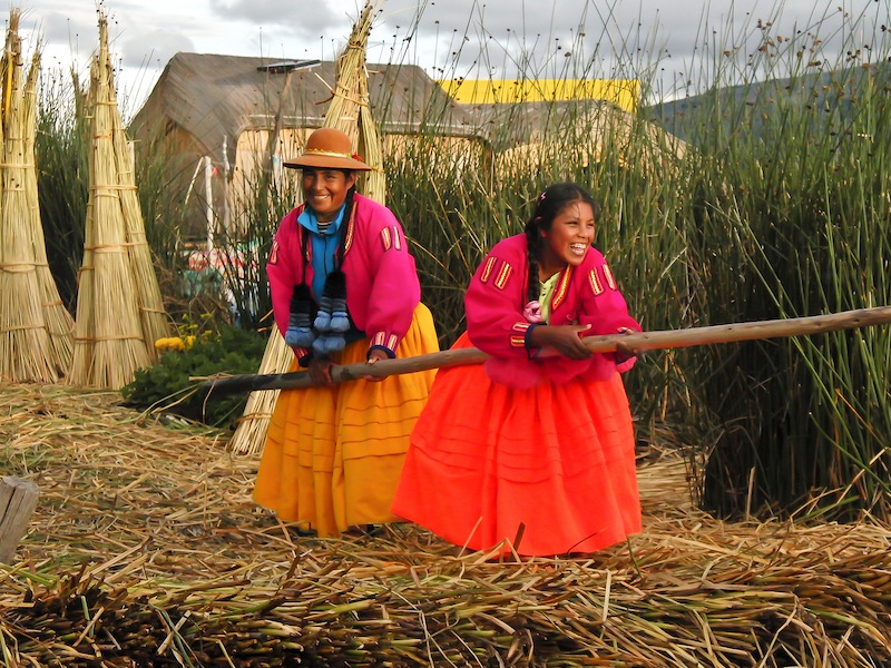
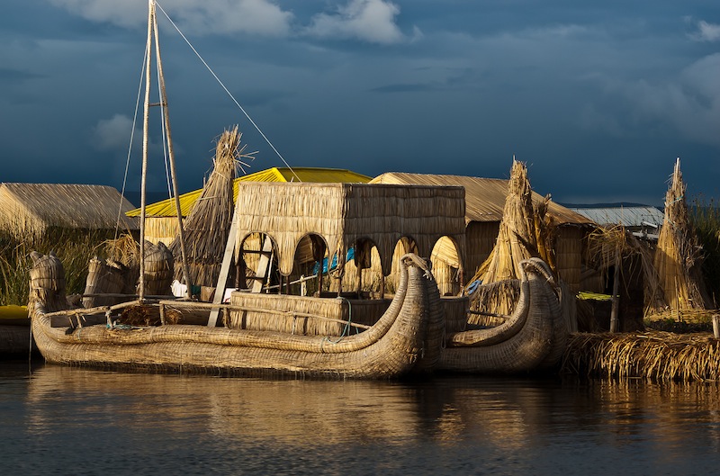
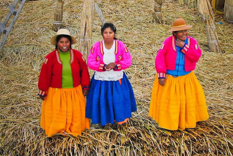
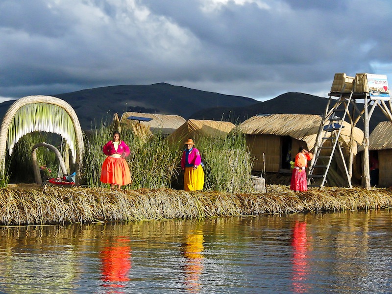
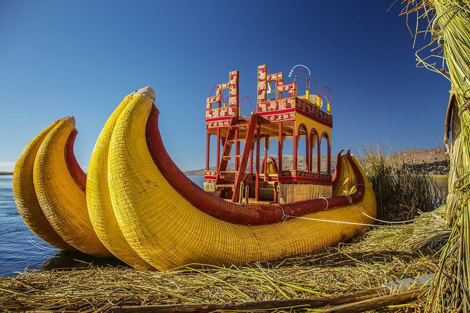
All these excursions pass the Uros floating islands, 20 minutes from Puno. Tourism has multiplied these islands to a population of over 1,000, and the traditional hunter-fisher lifestyle has disappeared — but even very touristy, they remain astonishing. Reach them on a 2-3 hour excursion, or by kayak from Puno for the sporty.
If boats aren't for you, a land excursion on the Socca peninsula offers beautiful views over Lake Titicaca and the snow-capped Bolivian Cordillera Real, through an environment still untouched by tourism, where farming is the only activity.
The Lake Titicaca region was important to the development of the altiplano's pre-Columbian civilizations. According to legend, Manco Capac, the first Inca ruler, emerged from its waters. The Tiwanaku civilization, centered near the lake in Bolivia, played an important role and was likely a precursor of the Incas.
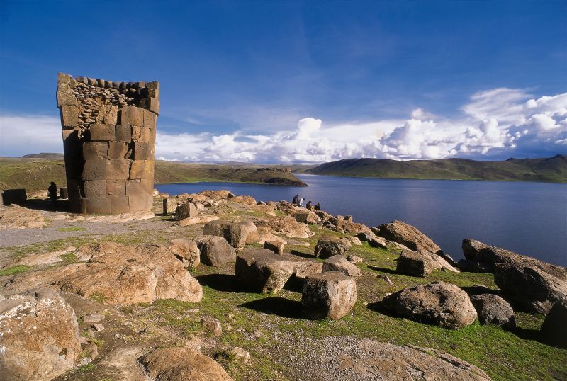
Around Puno you'll find interesting archaeological sites, such as the "chullpas" (funerary towers) of Sillustani, or the much less visited chullpas of Cutimbo — each visitable in a half-day.
Maximum daytime temperature (monthly average):
Minimum nighttime temperature (monthly average):
By air:
By land:
For more information about these hotels, you can check out the Hotels in Puno, Lake Titicaca page.
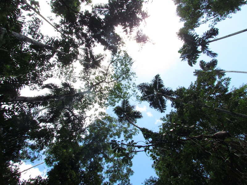
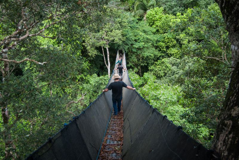
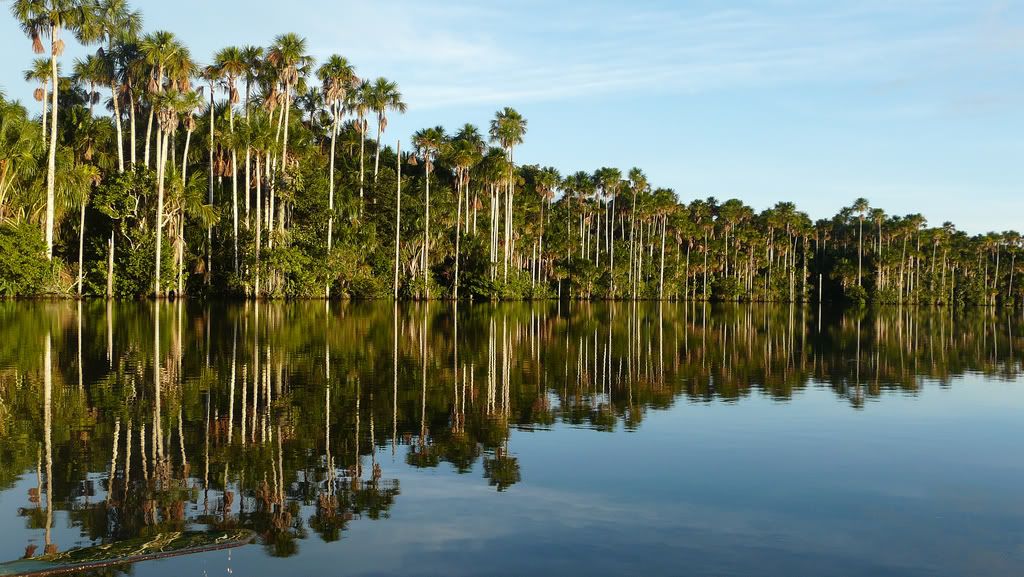
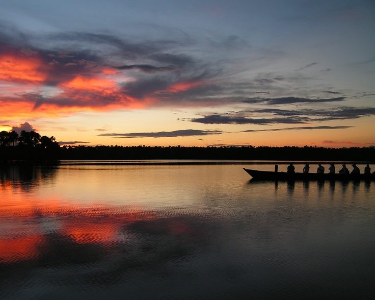
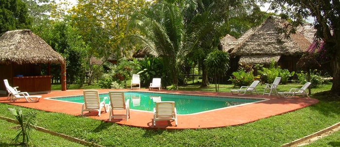
Puerto Maldonado is the starting point for stays in the Peruvian Amazon, accessible by a half-hour flight from Cuzco — making it easy to add a few days in the rainforest at the start or end of a trip to Peru. Many lodges, less than an hour away by boat, offer multi-day stays with excursions to discover the local flora and fauna.
The town itself holds little interest, but it's the ideal starting point for an Amazon stay. Peru's other option is Iquitos, in the northeast; Puerto Maldonado's advantage is its proximity to Cuzco, letting you add the Amazon without backtracking through Lima — saving both time and the cost of a flight.
Several lodges, less than an hour by boat, offer stays with accommodation, full board, and forest excursions. Note that a 3-day/2-night stay means only 1 full day on site, as the first and last days are shortened — a 4-day/3-night stay is often better.
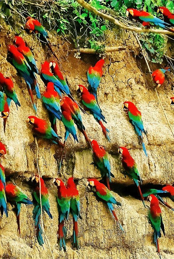
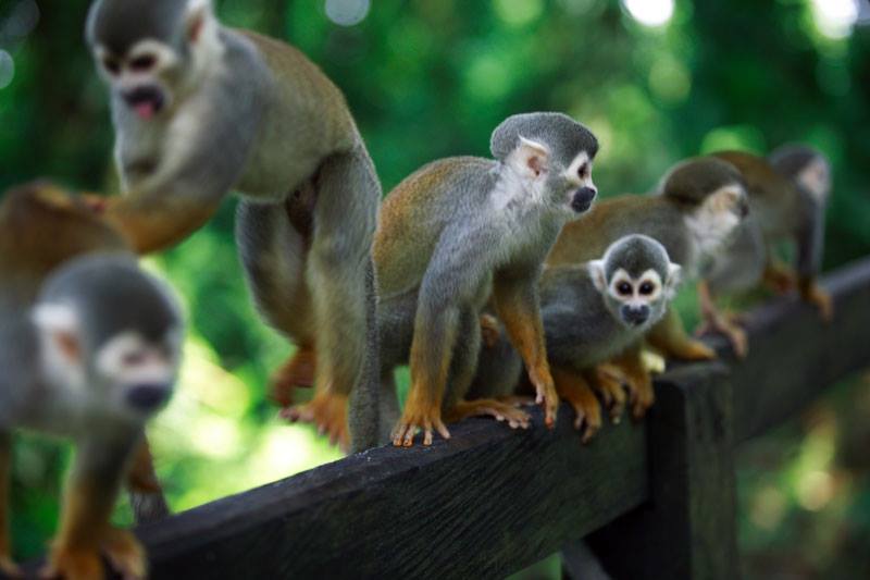
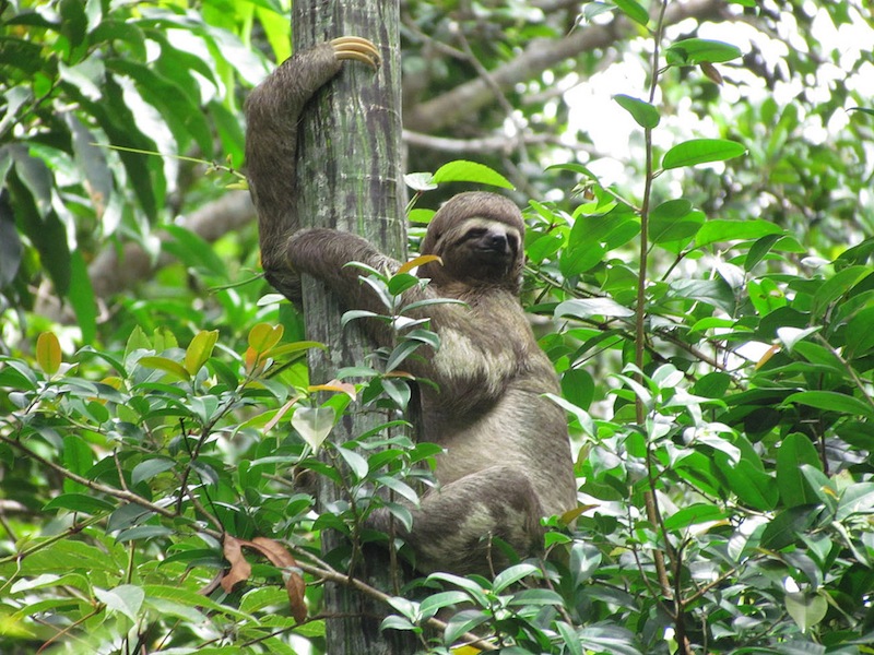
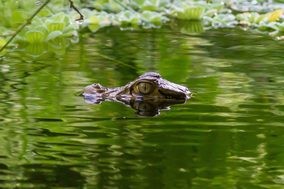
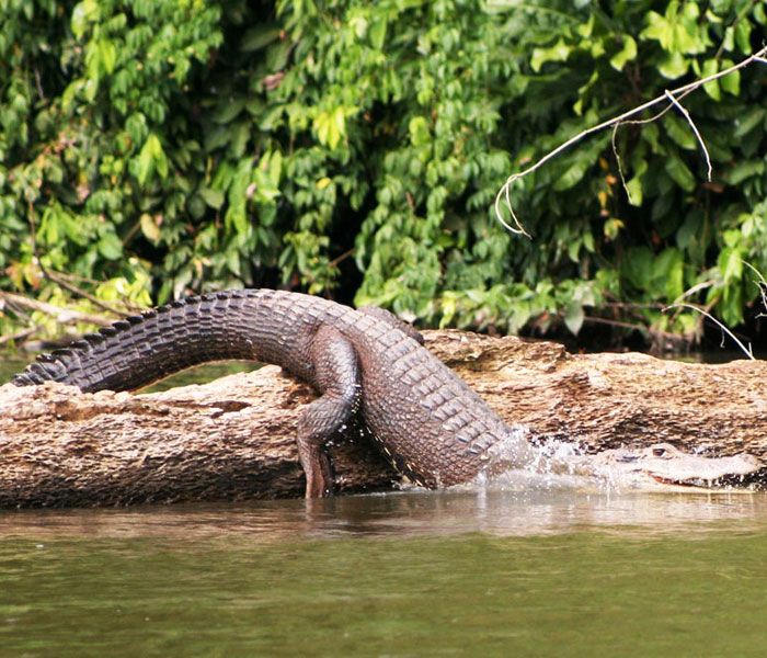
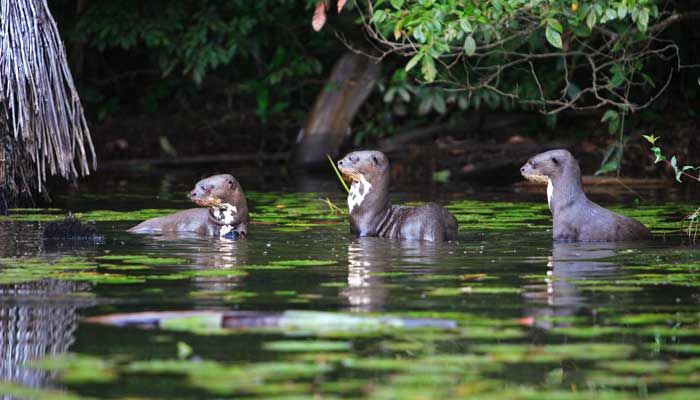
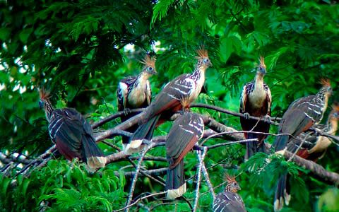
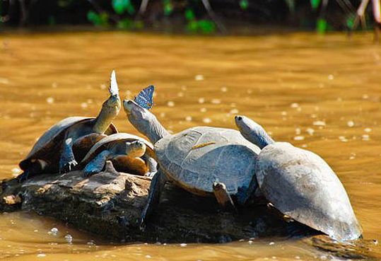
Beyond the relaxing effect of the forest, away from the noise of civilization, lodge stays let you discover the Amazon's wildlife and flora. The animals most often seen are caimans, turtles, otters, various monkey species, and many birds, such as parrots, toucans, and hoatzins.
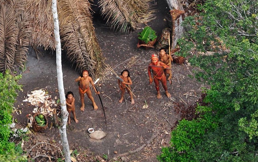
Lodge programs vary but generally include forest walks and excursions on the Madre de Dios river or by canoe on nearby lakes, often with a meeting with a native Amazon community. Some also offer the Ayahuasca shamanic ritual.
We primarily work with the Corto Maltes lodge, though availability cannot be guaranteed; the Eco Amazonia and Bello Horizonte lodges serve as alternatives. Let us know if you'd prefer a different lodge.
Maximum daytime temperature (monthly average):
Minimum night-time temperature (monthly average):
By plane:
By land:
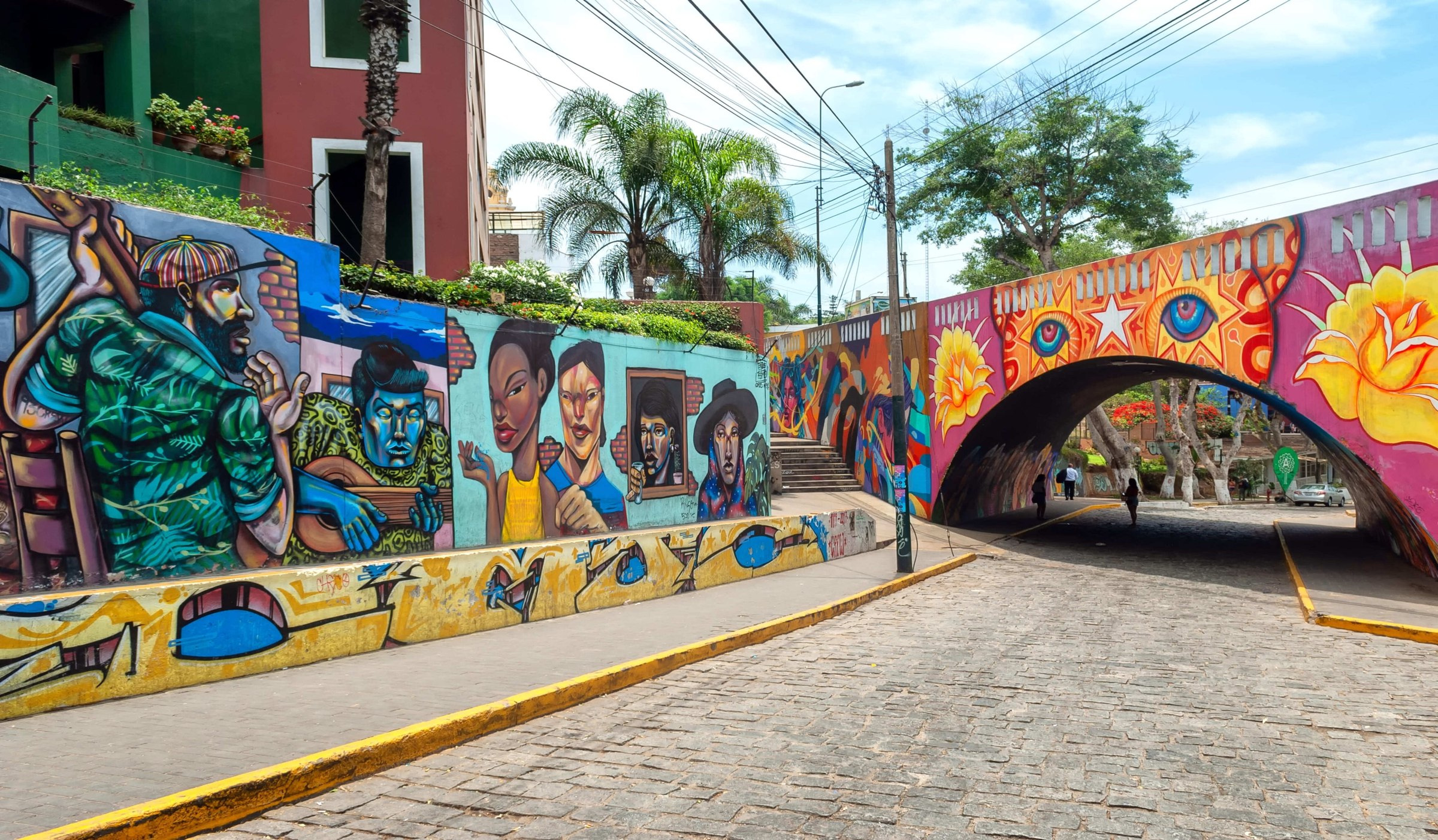
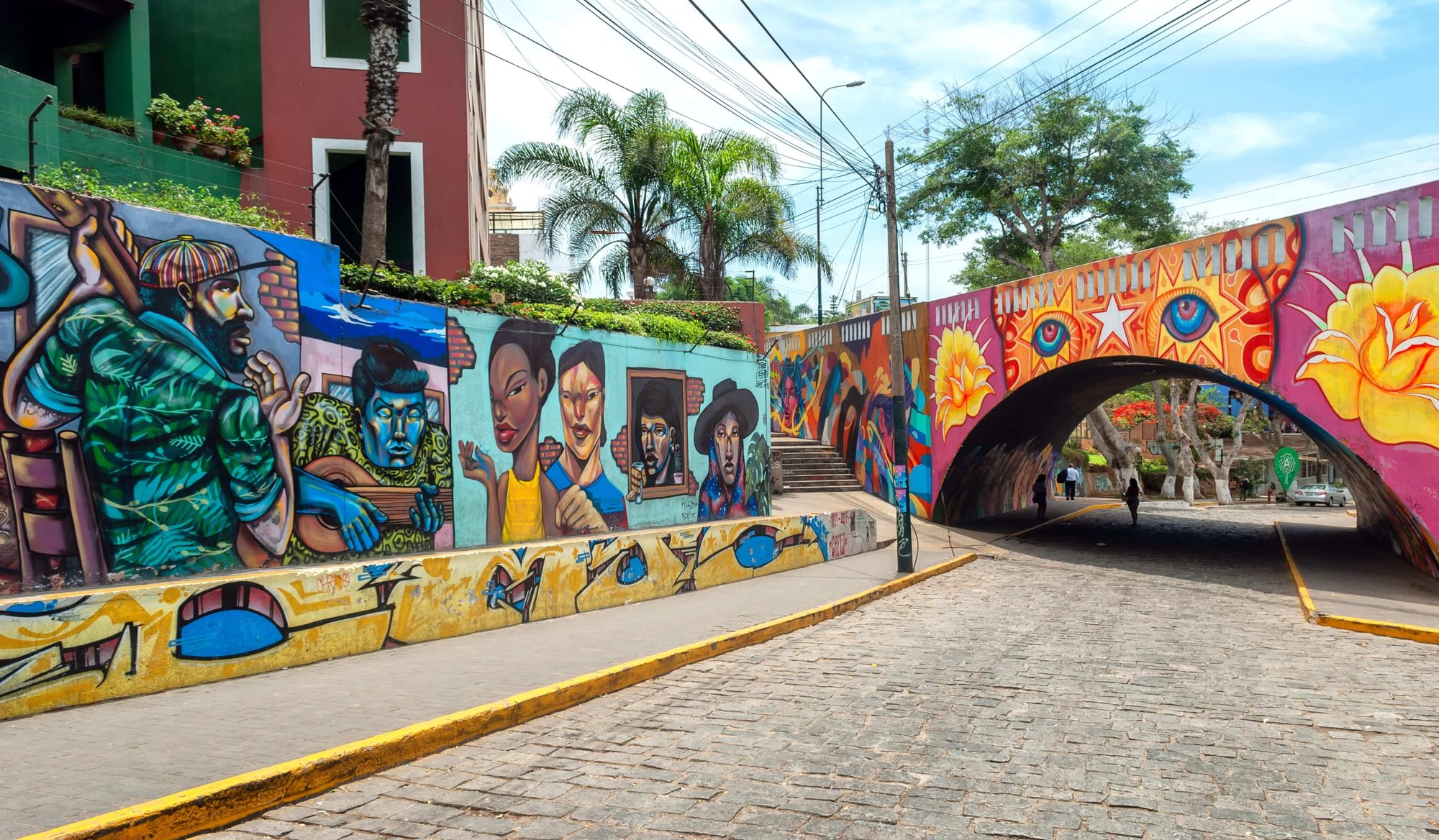
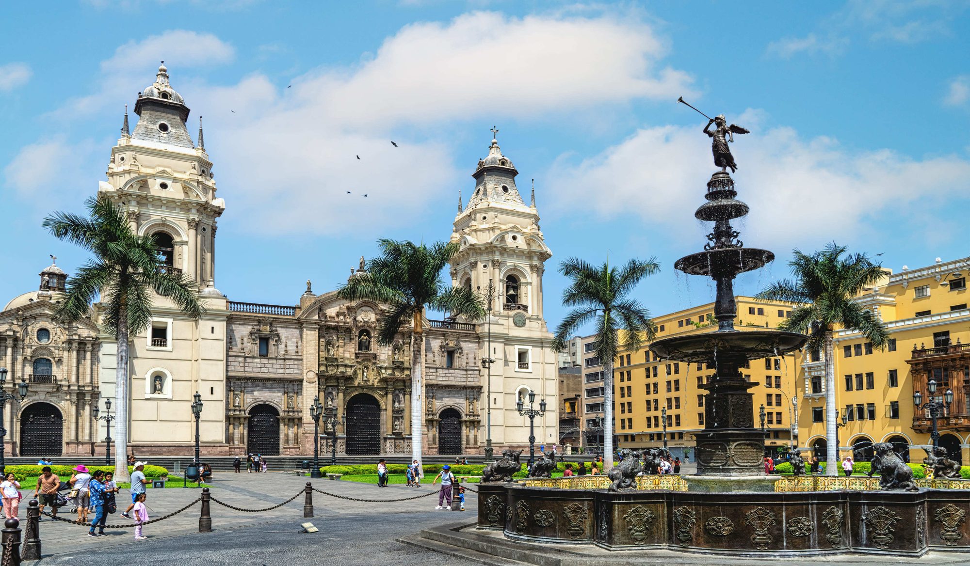
For almost all travelers, Lima is the gateway to Peru, on arrival and departure. But the Peruvian capital is much more than a point of passage: its colonial center, important pre-Columbian remains and museums, renowned gastronomy, and other attractions make it well worth a stop on your trip.
Lima is home to nearly a third of the country's population: with more than 8 million inhabitants, it is nearly 10 times more populous than Arequipa, the country's second city — weight and influence that lead Peruvians to say "Peru is Lima."
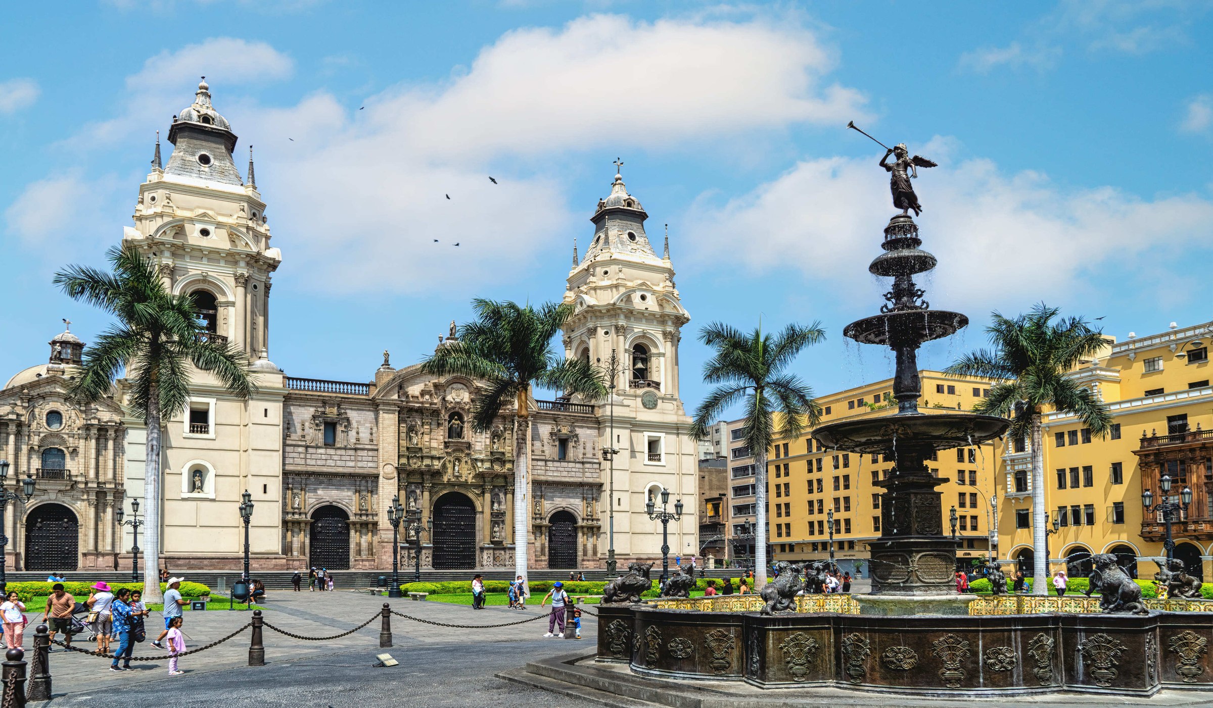
Capital of the Viceroyalty of Peru under Spanish colonial rule, Lima was the continent's most important city for more than two centuries. That legacy remains in its historic center, listed as a UNESCO World Heritage Site, with its churches and other colonial buildings.
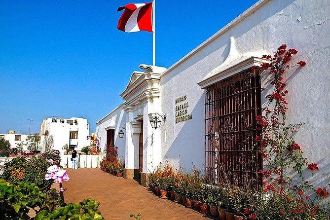
Lima is also home to some of the best museums on pre-Columbian civilizations and Peru's archaeological heritage, notably the Museum of Archaeology and Anthropology, the Larco Herrera Museum, the Gold Museum, and the Museum of the Nation.
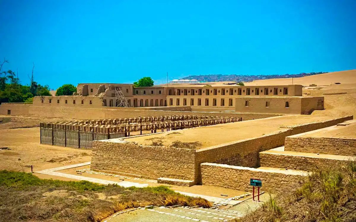
Pre-Columbian archaeological sites are also found in the region, such as Huaca Pucllana in Miraflores or the site of Pachacamac, about thirty kilometers from Lima.
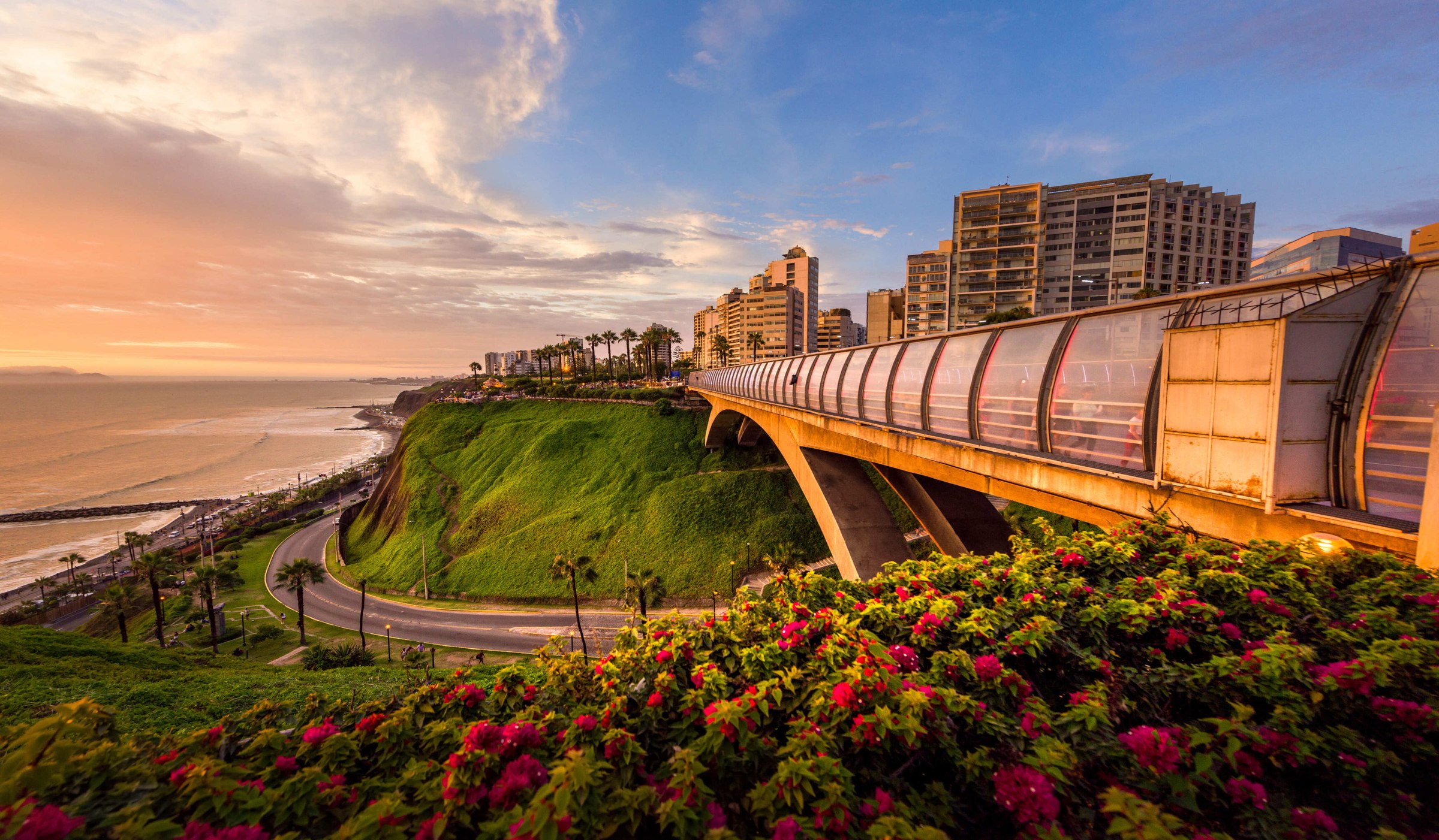
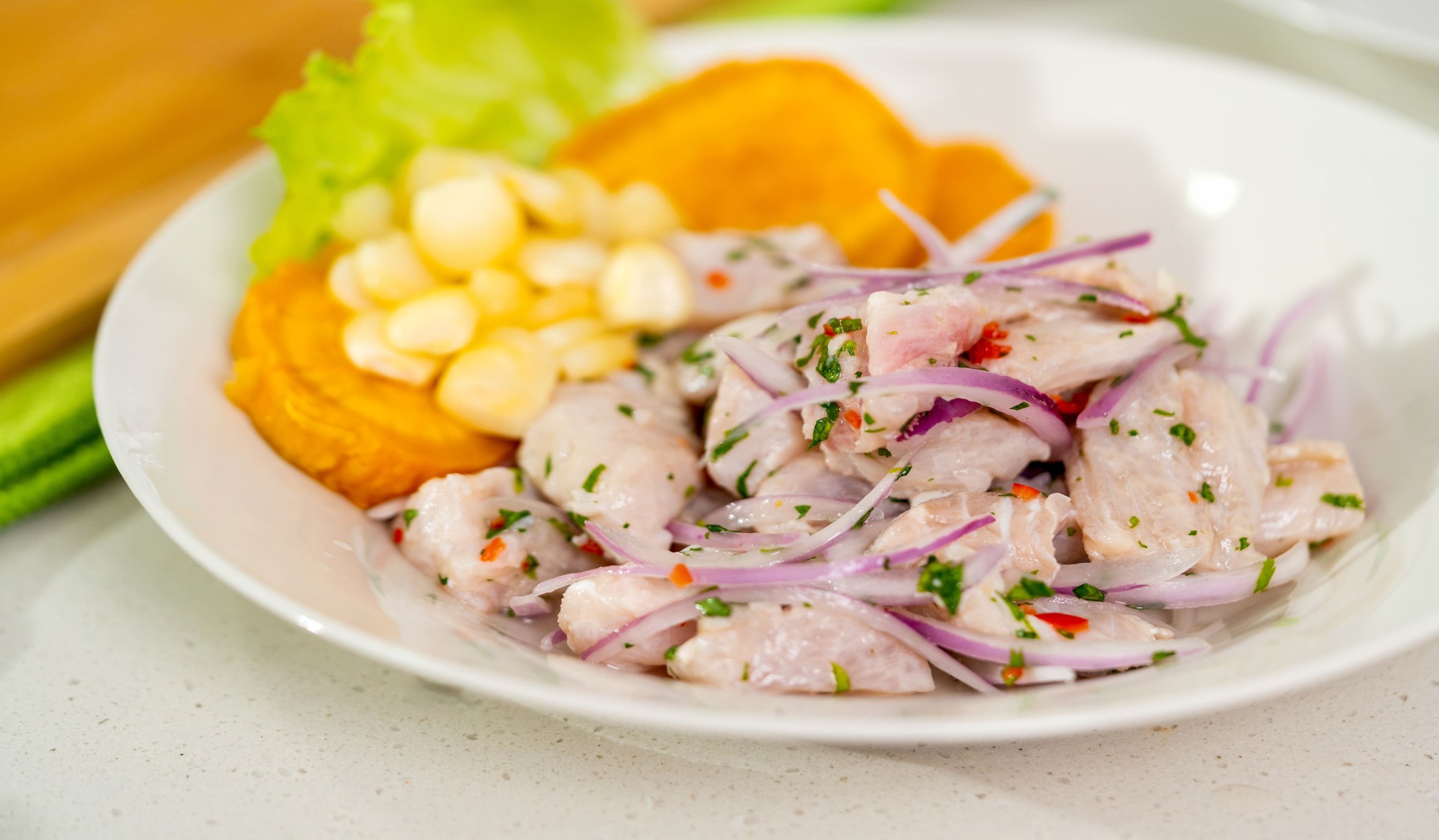
Overlooking the Pacific, Miraflores is the city's cultural center and its safest, most pleasant district, with parks, hotels, and restaurants — the perfect place to sample Peruvian gastronomy. Among Lima's many restaurants, we recommend La Mar, by renowned chef Gaston Acurio; Le Mangos, for its lunchtime buffet on a terrace overlooking the Pacific; or La Rosa Náutica, for a romantic dinner above the waves.
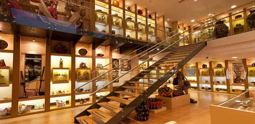
A free day in Lima at the end of your stay is a good opportunity for souvenir shopping: the craft markets of Miraflores are huge, bringing together items from the various places visited during your trip.
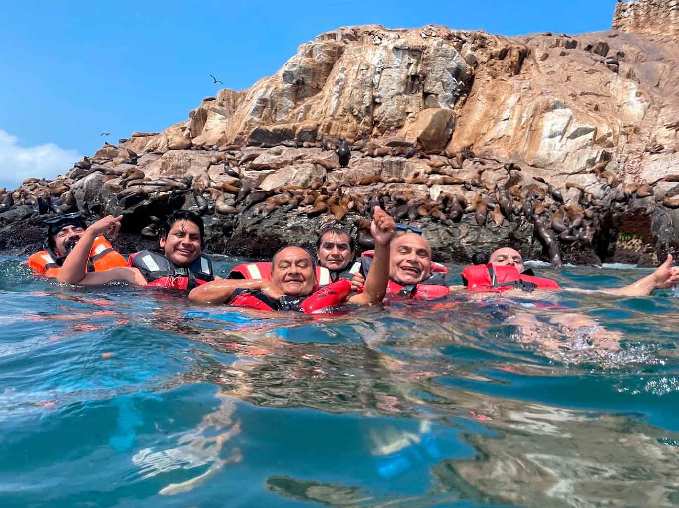
For nature lovers, Lima is also the starting point for an excursion to the Palomino Islands, home to a large population of sea lions and seabirds, with the chance to swim with the sea lions (in a wetsuit — the water is cold). It's a good alternative to the Ballestas Islands for those not traveling down the coast to Paracas.
Maximum daytime temperature (monthly average):
Minimum nighttime temperature (monthly average):
By air:
By land:
For more information about these hotels, you can check out the Hotels in Lima page.
Traveling from Lima to Arequipa along the Pacific coast, Nazca is a natural stop roughly halfway between the two cities, and the place to learn about the mysterious, world-famous Nazca Lines, which have survived in the desert for more than 1,000 years. The small town also offers other sites of interest: the underground Cantalloc aqueducts, the Cahuachi pyramid complex, the Chauchilla cemetery, and the world's highest dune at Cerro Blanco.
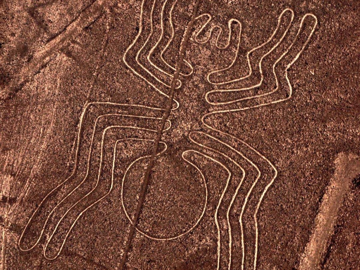
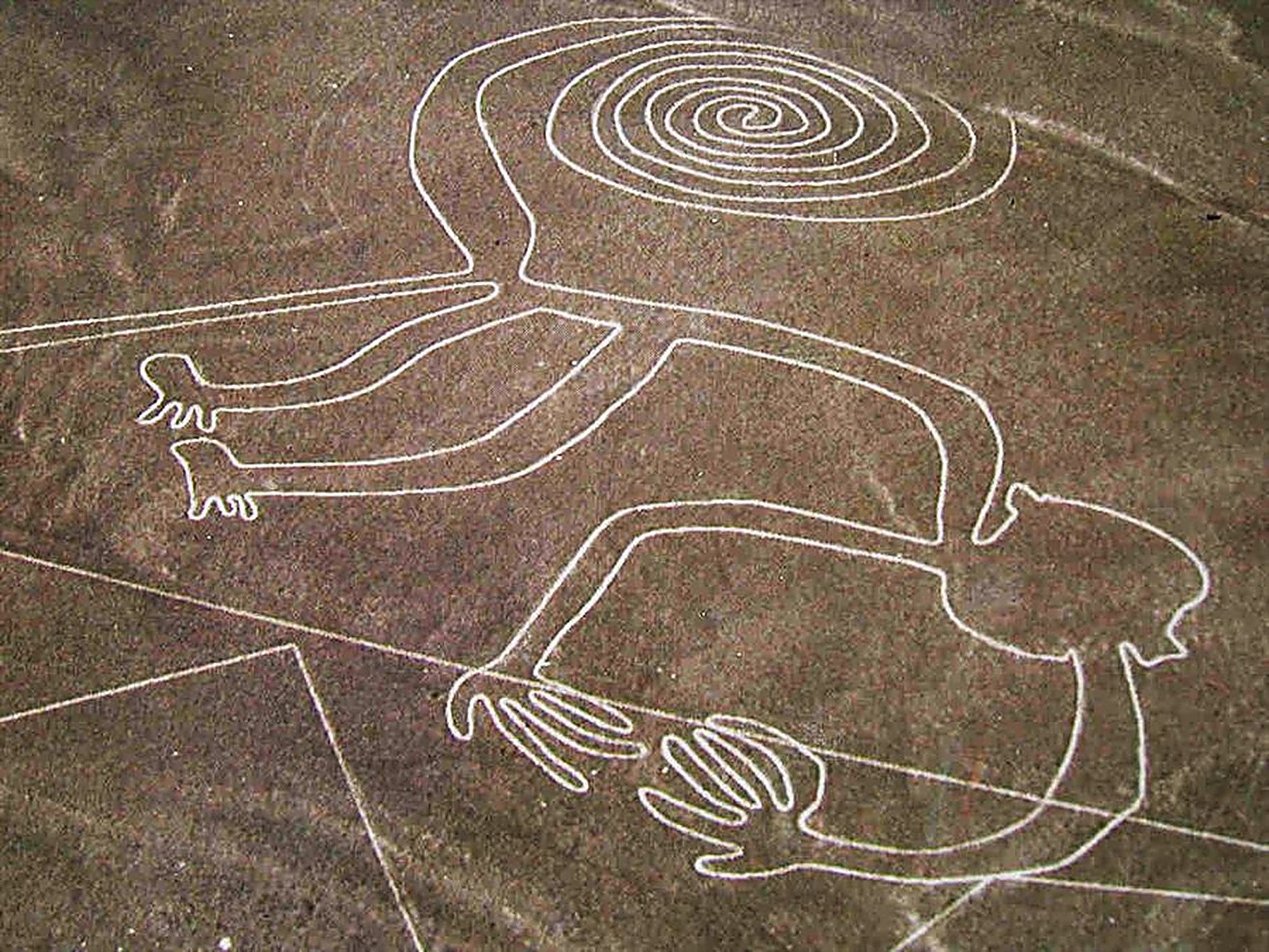
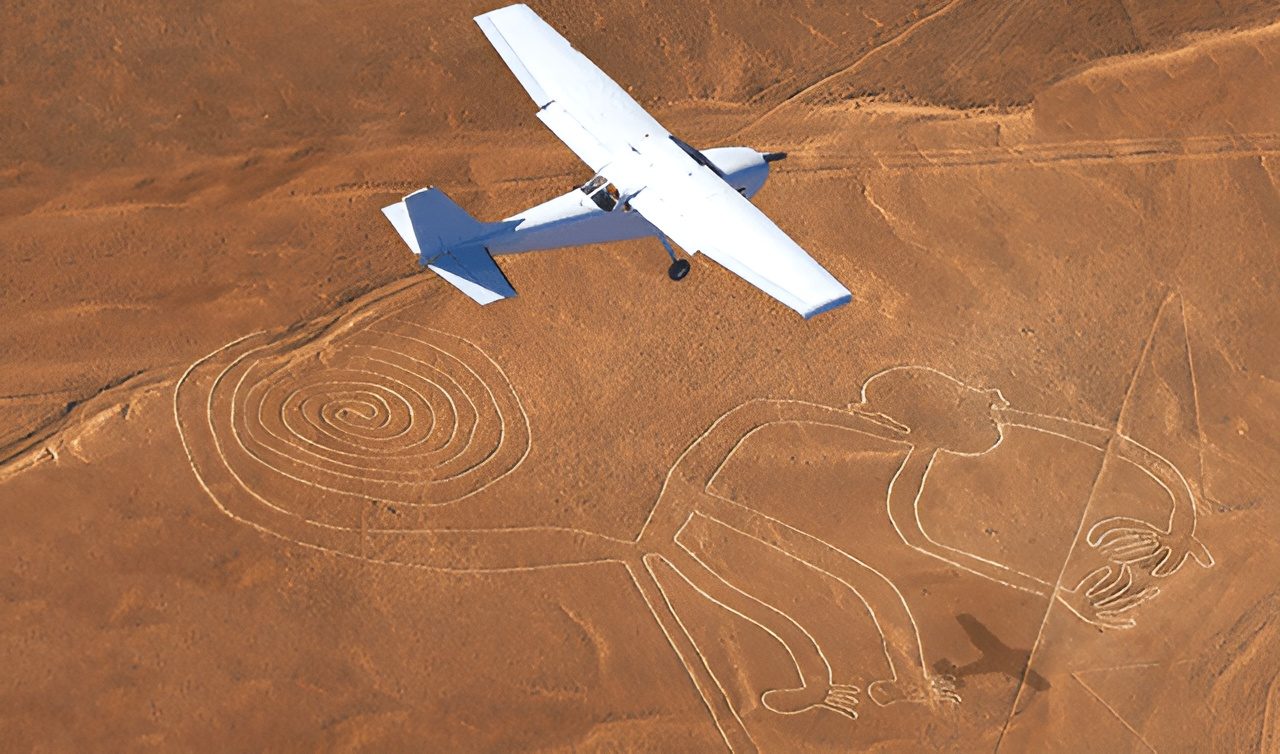
Nazca is world-famous for its geoglyphs, the Nazca Lines, the region's main tourist attraction — a set of figures mostly depicting animals (spider, monkey, hummingbird, condor…), straight lines, and geometric shapes such as zigzags and trapezoids. Animal figures reach up to a hundred meters across; straight lines extend up to 10 kilometers.
The lines were traced on a flat, arid surface covering several hundred square kilometers by removing the surface layer of oxidized stones, leaving pale lines by contrast. They are believed to date from the first millennium AD, and the near-total absence of rain in the Nazca desert has let them survive for more than a thousand years.
The geoglyphs almost certainly had a ritual purpose, but the exact meaning of each figure and how the Nazca civilization used them remains unknown — numerous theories, from the serious to the far-fetched, keep an aura of mystery around them.
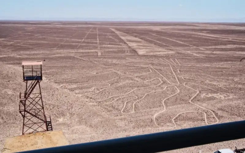
Two figures (the tree and the hand) can be seen from a roughly 15-meter-high metal tower 25 kilometers from Nazca, and a nearby hill offers views of several lines a few kilometers long. But the lines are best observed from the air: flights depart from the Nazca aerodrome, last about half an hour, and cost around 100 USD.
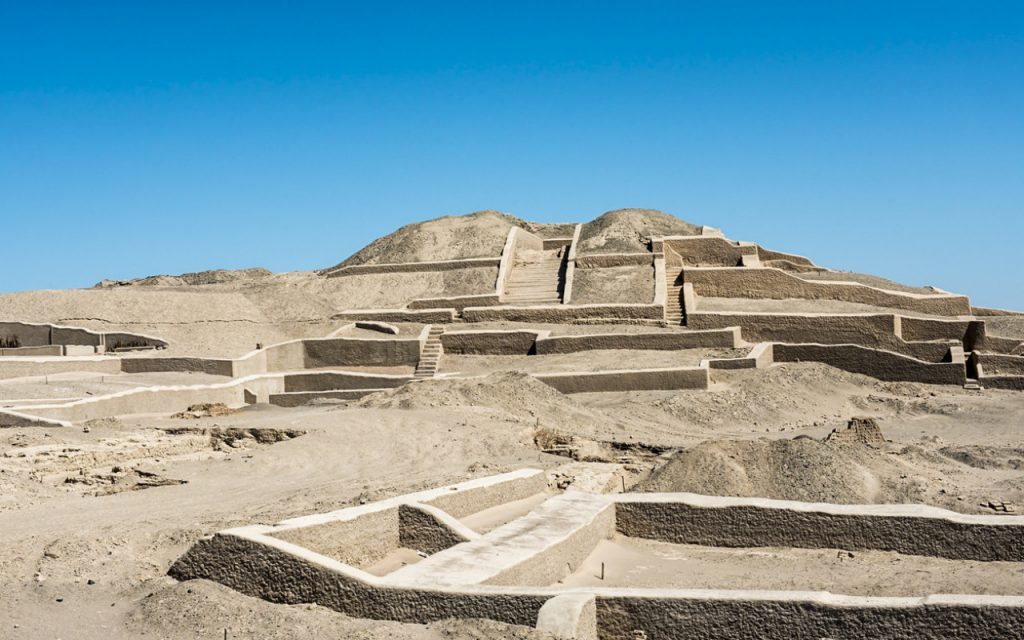
20 kilometers from Nazca, the Cahuachi complex was an important ceremonial center of several pyramids, now buried under desert sand, of which excavations have uncovered a small part.
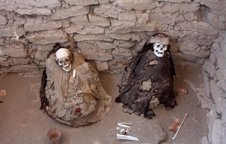
The Chauchilla cemetery, 30 kilometers south of Nazca, lets you see mummies over 1,000 years old preserved by the arid ground, along with the offerings they were buried with.
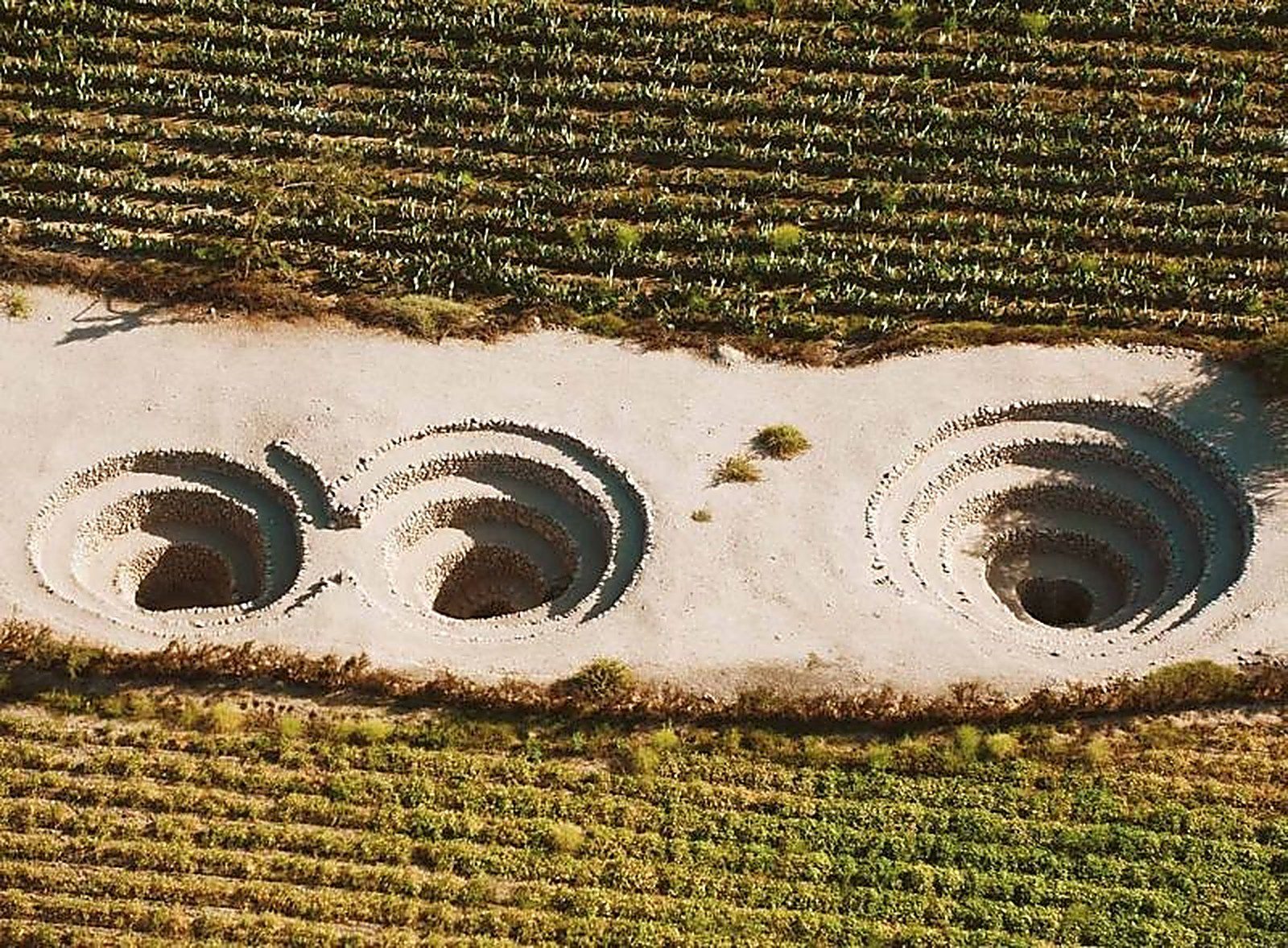
The Cantalloc aqueducts reveal the underground irrigation channels that allowed the Nazca civilization to survive and thrive in the desert.
The Antonini Museum documents the Nazca region's archaeological heritage, while the Maria Reiche Museum, 30 kilometers toward Lima, is dedicated to the German mathematician who devoted her life to studying and preserving the Nazca Lines.
Nazca also offers a few adventure excursions, including a full day of dune buggy riding through the desert, passing Cahuachi and the huge Usaca dunes before reaching the Pacific at San Fernando Bay, with its colony of sea lions — a fully off-the-beaten-path day, pricey for two but more affordable for a larger group.
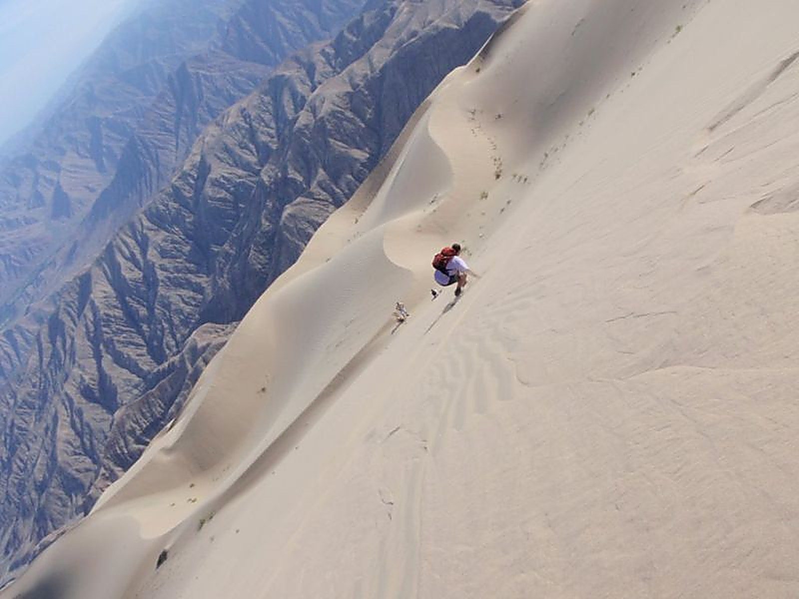
Another option is sandboarding on Cerro Blanco, a 1,000-meter-high dune near Nazca that locals call "the tallest dune in the world."
Maximum daytime temperature (monthly average):
Minimum nighttime temperature (monthly average):
By plane:
By land:
For more information about these hotels, you can visit the Hotels in Nazca page.
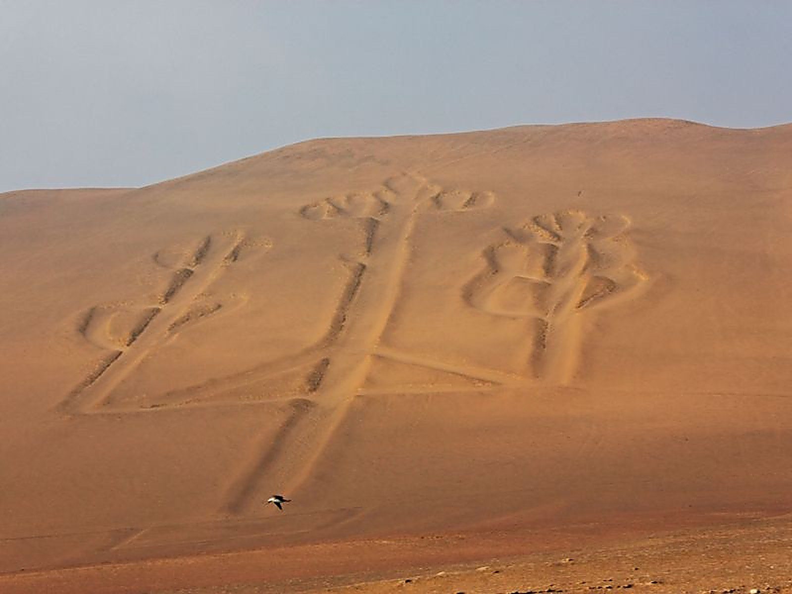
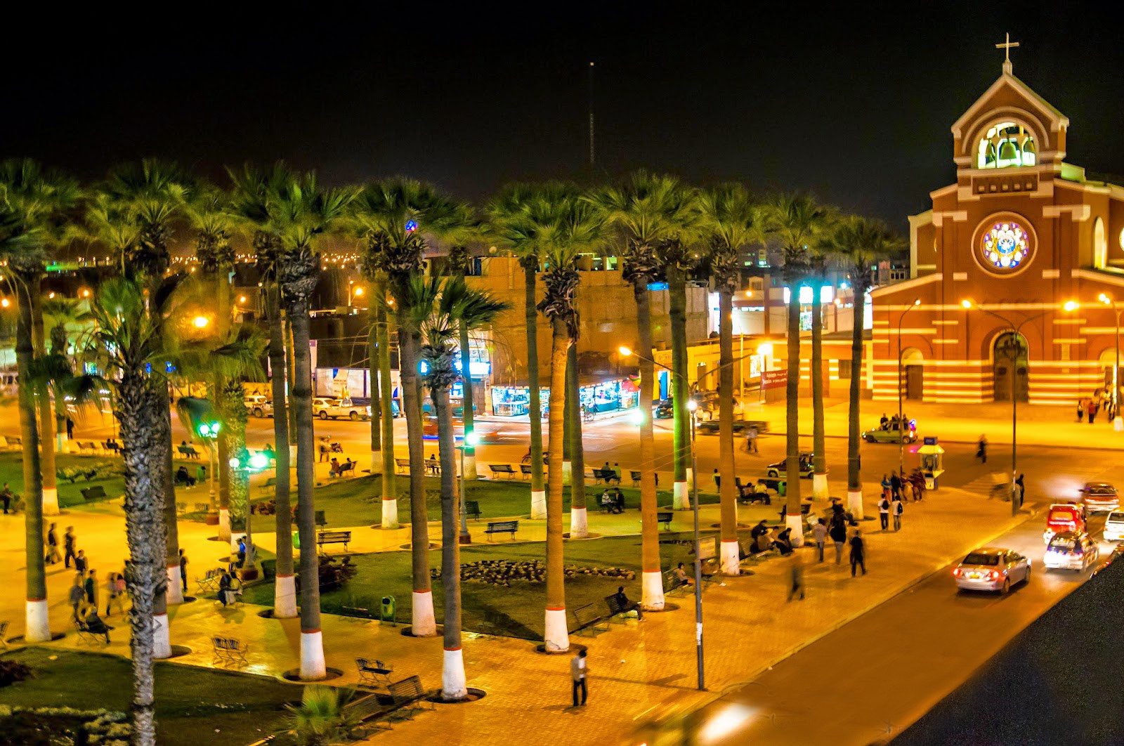
A small fishing port and seaside resort 3-4 hours south of Lima, Paracas is a recommended stop for travelers heading from Lima to Nazca. Its main attraction is the Ballestas Islands, about fifteen kilometers offshore, home to a large number of sea lions, pelicans, cormorants, and other seabirds — sometimes nicknamed "the Galapagos of Peru" for the richness of their wildlife.
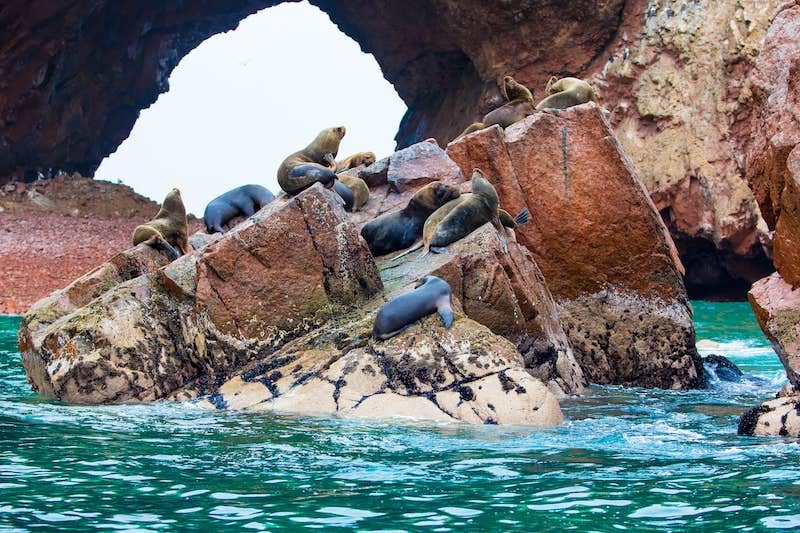
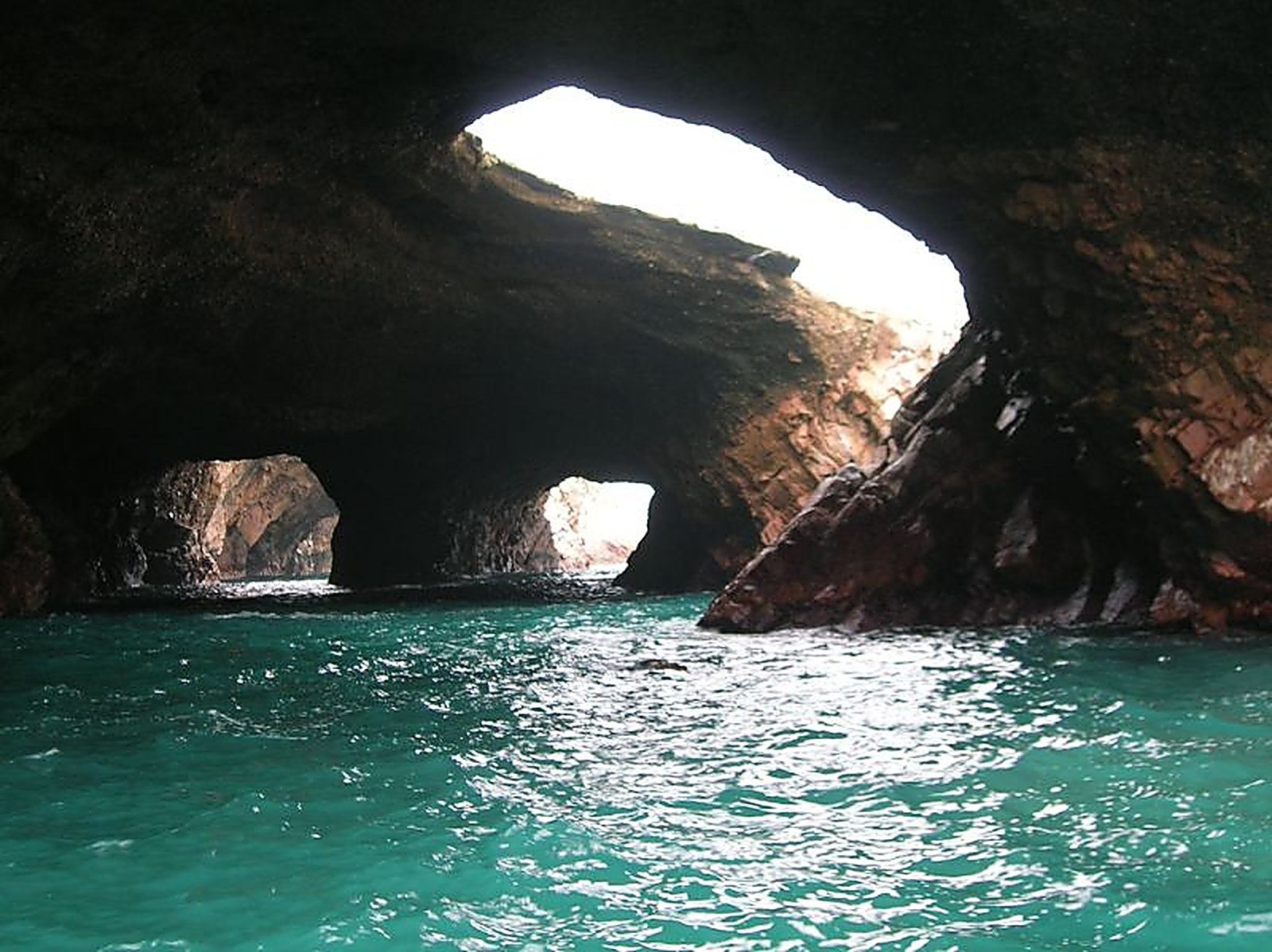
The Ballestas Islands are an archipelago of rocky islets with spectacular relief — cliffs, arches, and caverns — home to several thousand sea lions and tens of thousands of birds. Visitors can observe several species of cormorants, pelicans, various boobies, Inca terns, Humboldt penguins, and dozens of other species.
The large bird population has built up a thick layer of guano over the centuries, exploited in the 19th century as fertilizer and once one of Peru's most important exports — today only a minor economic resource.
The richness of bird life is linked to the abundance of fish off the coast of Peru, itself due to the Humboldt current, whose cold waters flow up along South America from Antarctica.
The excursion departs in the morning from the fishing port of Paracas and lasts about two hours; besides the sea lions and seabirds, dolphins can occasionally be observed.
Beyond the Ballestas Islands excursion, there are other reasons to stop here between Nazca and Lima, or even to spend several days. Paracas has become an important relaxation spot for Lima residents, with several 5-star hotels (La Hacienda, Hilton Double Tree, Libertador, Aranwa) — a place for relaxation that works well at the end of a trip to Peru.
Note that the Pacific here is cold, and swimming is only really pleasant in summer, from December to March. Peru's best beaches remain those of Mancora and Punta Sal, at the northern tip of the country, where the water is much warmer.
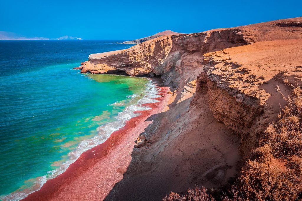
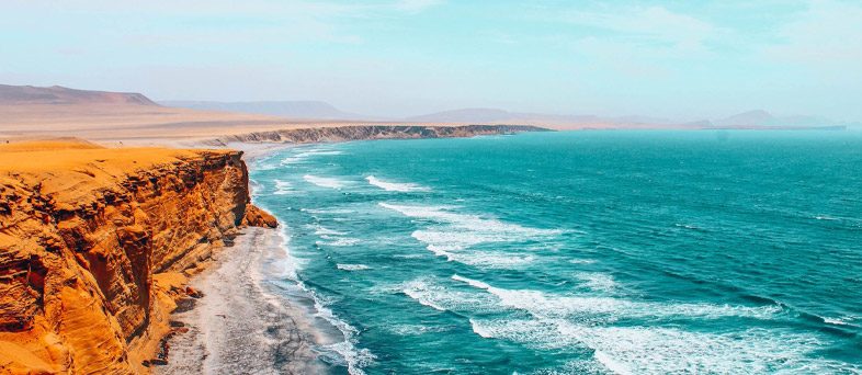
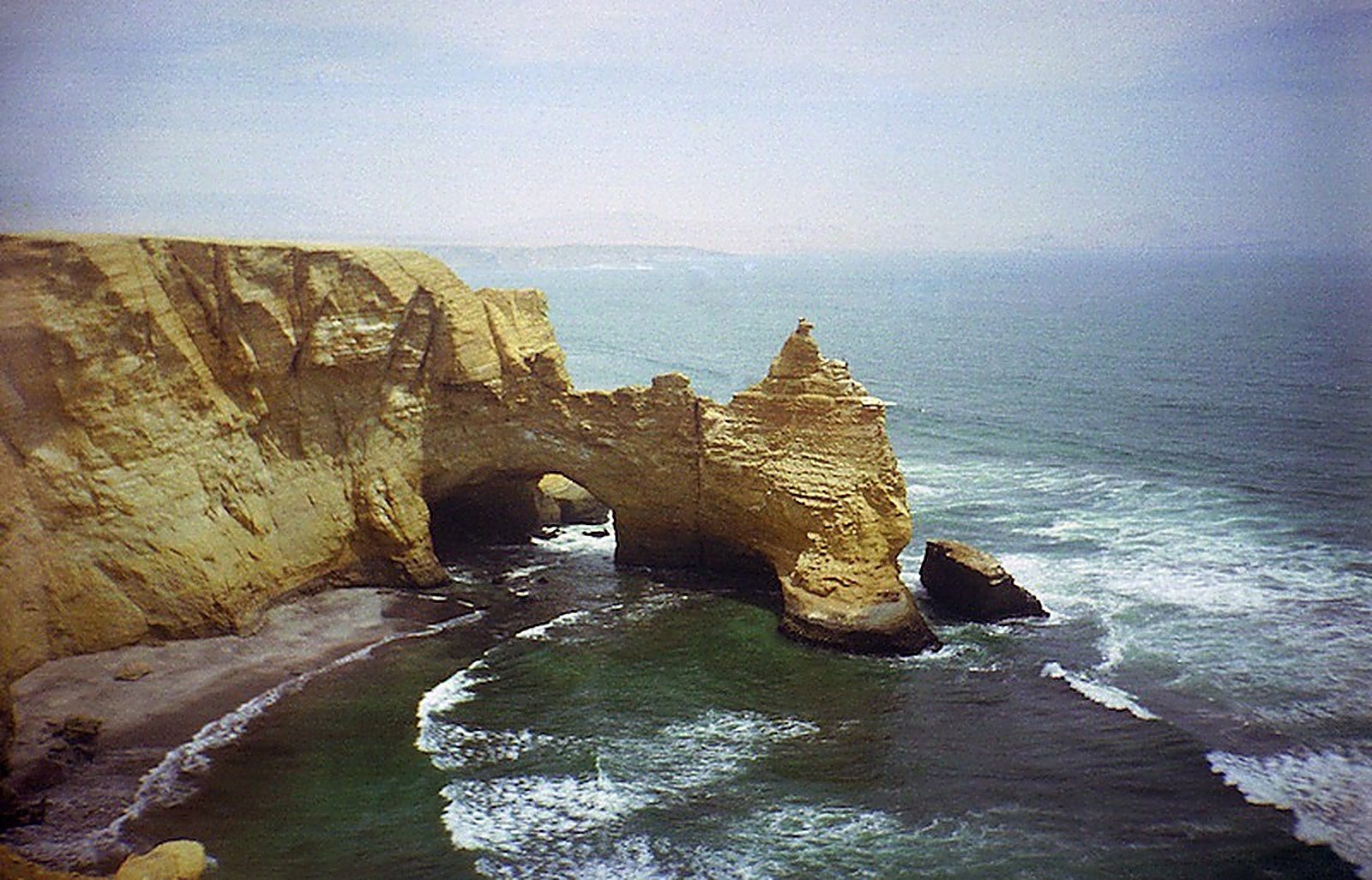
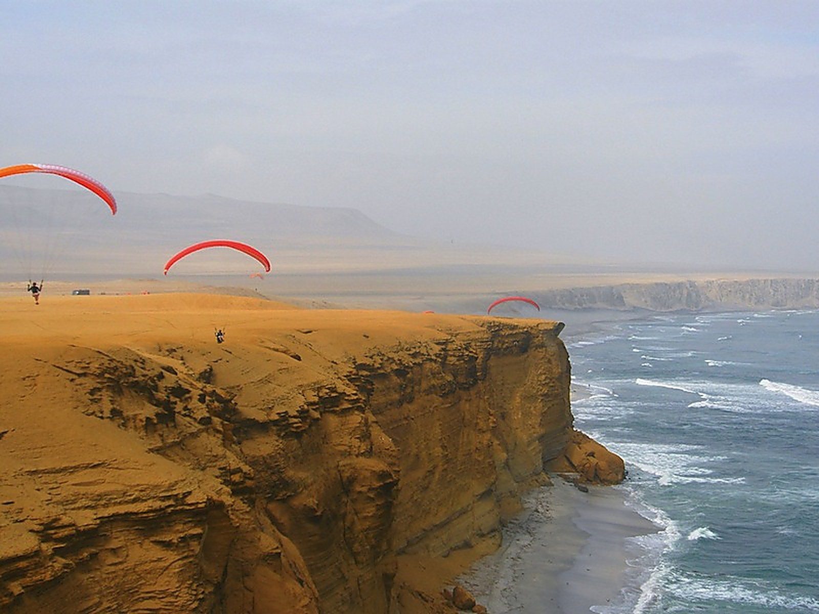
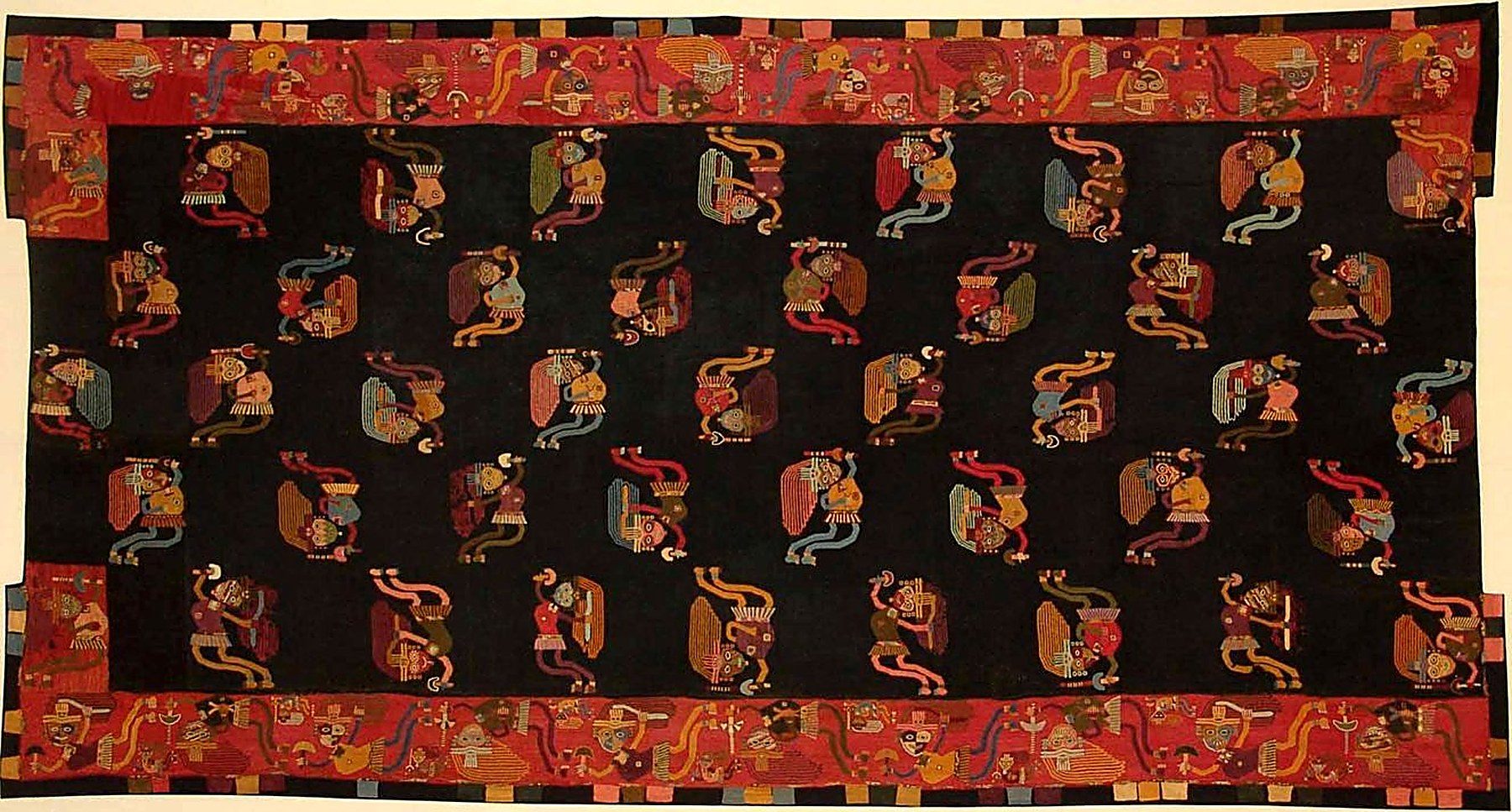
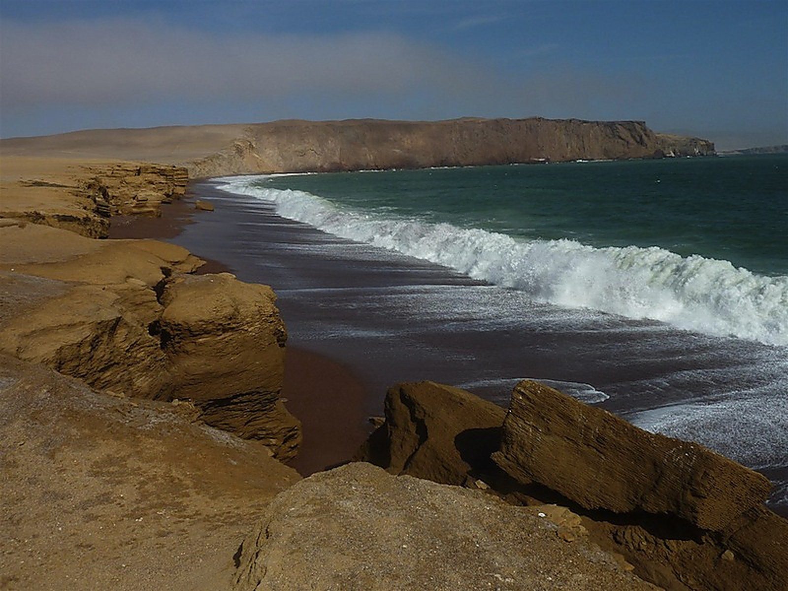
Another worthwhile excursion visits the land portion of the Paracas National Reserve, a half-day trip revealing the desert environment of the peninsula, its cliffs, beaches, and wildlife, in particular migrating flamingos, plus a visit to the Tello Museum on the ancient Paracas culture, renowned for its textiles.
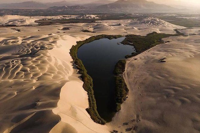
Paracas also offers an adventure excursion into the desert by dune buggy — about three hours, with splendid scenery, an oasis, near-Saharan dunes, sandboarding, and guaranteed thrills.
Maximum daytime temperature (monthly average):
Minimum nighttime temperature (monthly average):
By plane:
By land:
For more information about these hotels, you can visit the Hotels in Paracas page.
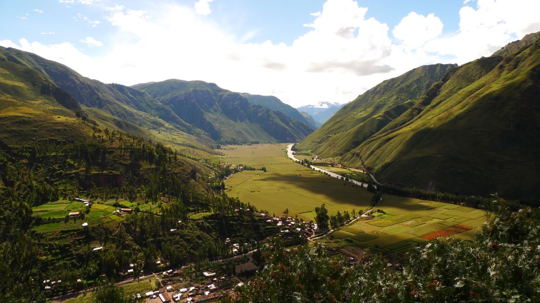
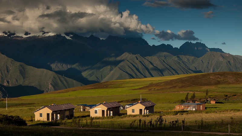
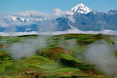
The Río Urubamba valley between Pisac and Ollantaytambo — also called Vilcanota or Wilcamayo — is commonly known as the Sacred Valley of the Incas. Close to Cuzco, it was highly fertile agricultural land for the Incas, who built some of their most beautiful cities there, including Pisac and the fortress of Ollantaytambo. Several hundred meters deep, it offers spectacular landscapes and is a mandatory passage between Cuzco and Machu Picchu, with a number of top-tier Inca sites — one of the most beautiful destinations on a trip to Peru.
Its altitude ranges from 3,000 meters at Pisac to 2,800 meters at Ollantaytambo — lower and milder than Cuzco, making it an ideal place to rest amid an almost tropical flora, and to spend a night in one of its many countryside hotels before arriving earlier at Machu Picchu the next morning.
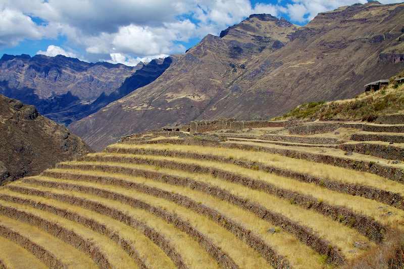
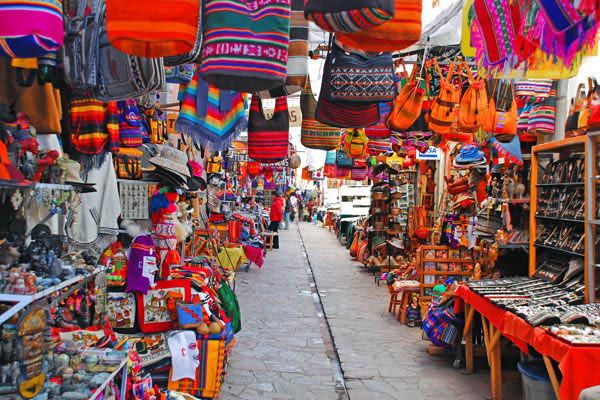
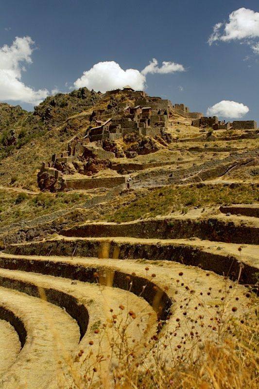
The city of Pisac is one of the most important and beautiful Inca cities. Spend about 2 hours there, walking down to the village via fairly steep staircases with magnificent views over the Sacred Valley. The village itself is pleasant and hosts a major craft market every day.
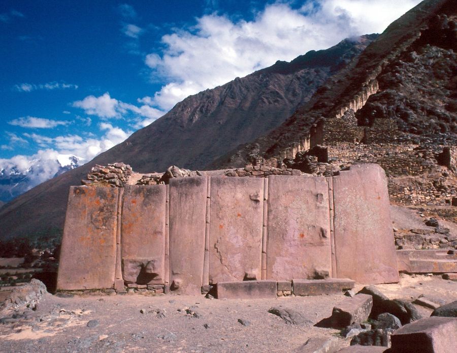
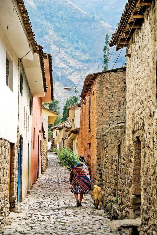
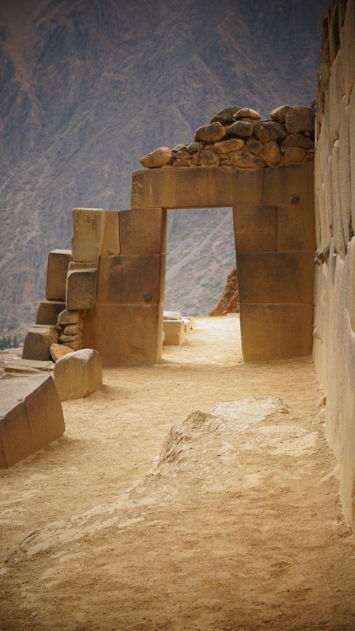
The village of Ollantaytambo still has streets dating from the Inca era and is dominated by a spectacular fortress, another major Inca site, and is also the departure point for most trains to Machu Picchu.
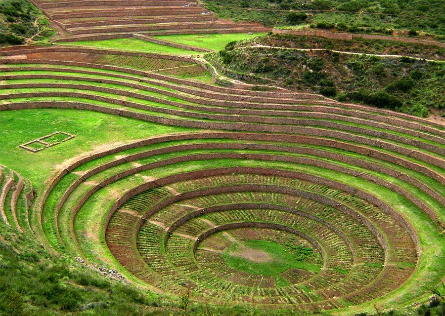
The Moray terraces are circular Inca agricultural terraces set in natural depressions.
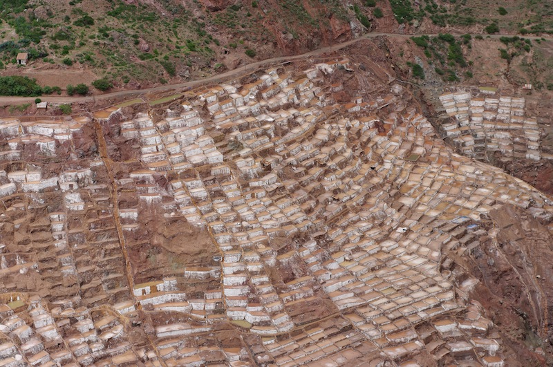
Close to Moray, the Maras salt pans offer both a beautiful sight and an interesting visit into the traditional exploitation of salt.
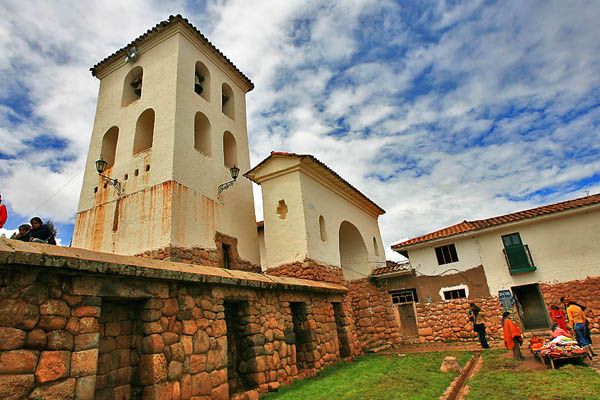
Not far from there, the village of Chinchero has a beautiful Spanish church built on a former Inca site.
You can see all 5 sites in one very full day, but 2 days is preferable — for example Pisac and Ollantaytambo on one day, Moray, Maras and Chinchero on the other. With only one day, focus on 3 or 4 sites: Pisac, Ollantaytambo, Chinchero with a return to Cuzco, or Pisac, Moray, Maras, Ollantaytambo with a night in Ollantaytambo before departing for Machu Picchu.
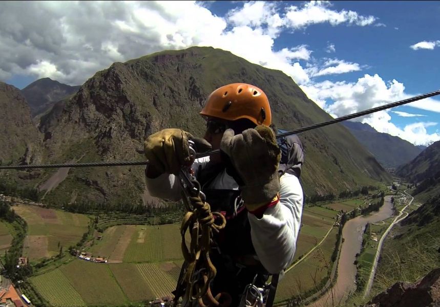
The Sacred Valley is also an excellent place for outdoor sports: mountain biking, whitewater rafting on the Río Urubamba, or via ferrata and zip lines on the cliffs of Ollantaytambo.
Maximum daytime temperature (monthly average):
Minimum nighttime temperature (monthly average):
By land:
For more information about these hotels, you can visit the page Hotels in the Sacred Valley of the Incas.
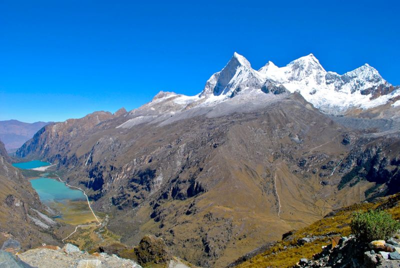
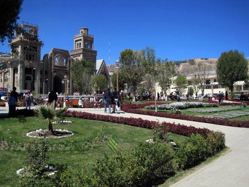
This small Andean town, 400 kilometers north of Lima, sits at the foot of the Cordillera Blanca and is an essential destination for trekking and mountain lovers in Peru.
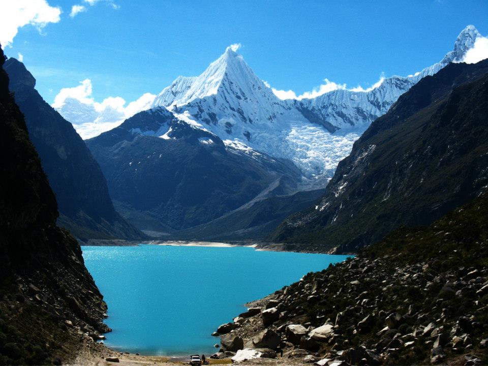
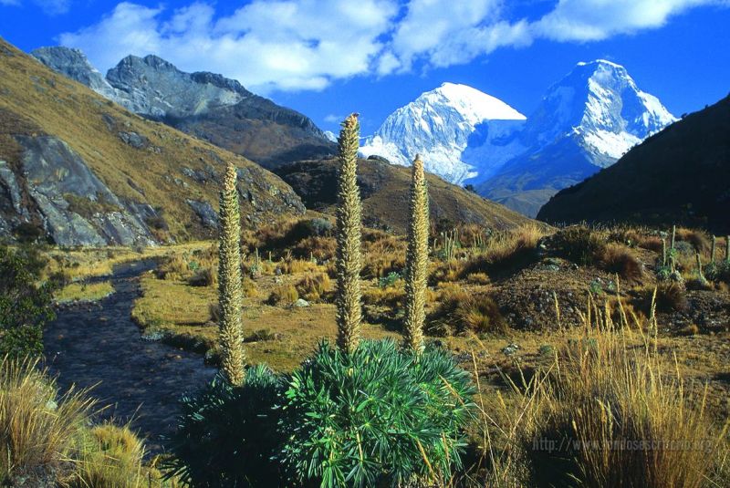
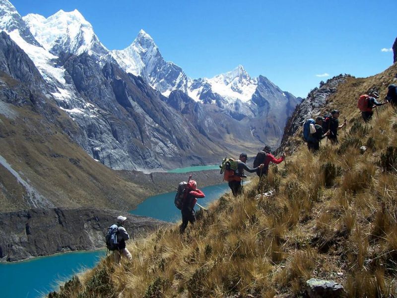
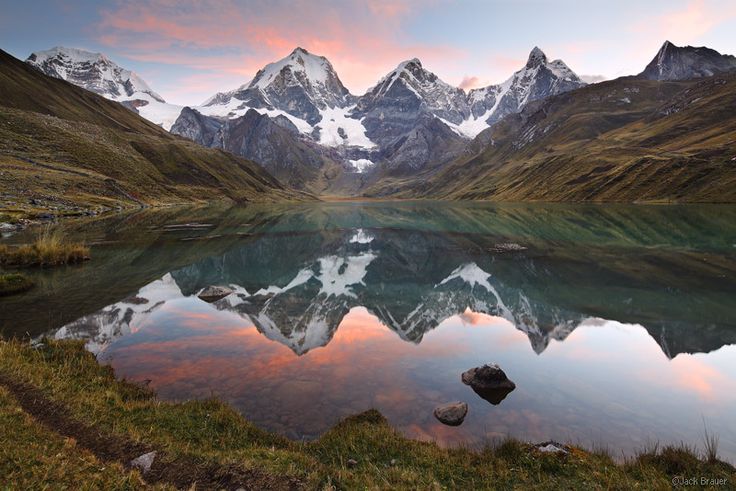
The Cordillera Blanca is arguably one of Peru's most beautiful ranges, with numerous "nevados" (snow-capped peaks), including Huascarán, the country's highest summit at 6,768 meters. Many peaks carry glaciers and draw mountaineers (known here as "andinistas") from around the world.
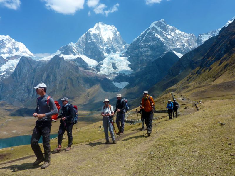
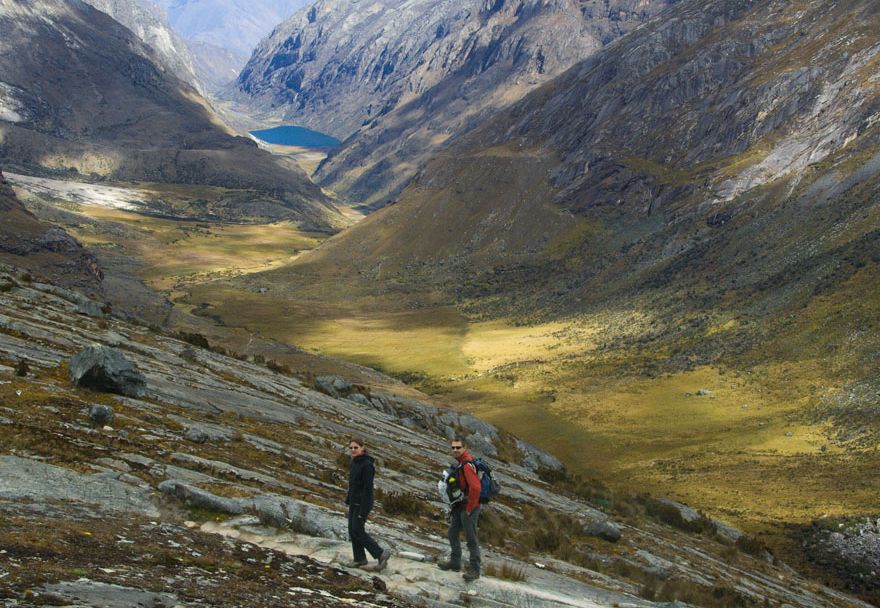
The Cordillera Blanca is also a paradise for hikers and trekkers, with treks from 1 to 10 days through sumptuous mountain scenery. The best known, the Llanganuco-Santa Cruz trek, usually takes 4 days and passes the turquoise Llanganuco lagoon. These hikes run at an average altitude of nearly 4,000 meters and cross passes near 5,000 meters, so excellent physical fitness is recommended.
Another favorite for big mountain treks is the Cordillera Huayhuash. Farther from Huaraz and less easily accessible, it offers pristine scenery, explored on a great 10-day trek that circles it.
For those not drawn to long hikes, day excursions reveal the magnificent Cordillera Blanca scenery without the effort. A one-day trip lets you admire the splendid Llanganuco lagoon in the heart of Huascarán National Park, passing through the villages of the Callejón de Huaylas, Caraz, Carhuaz, and finally the Yungay cemetery, where 25,000 people died when the town was buried by a mudslide in 1970.
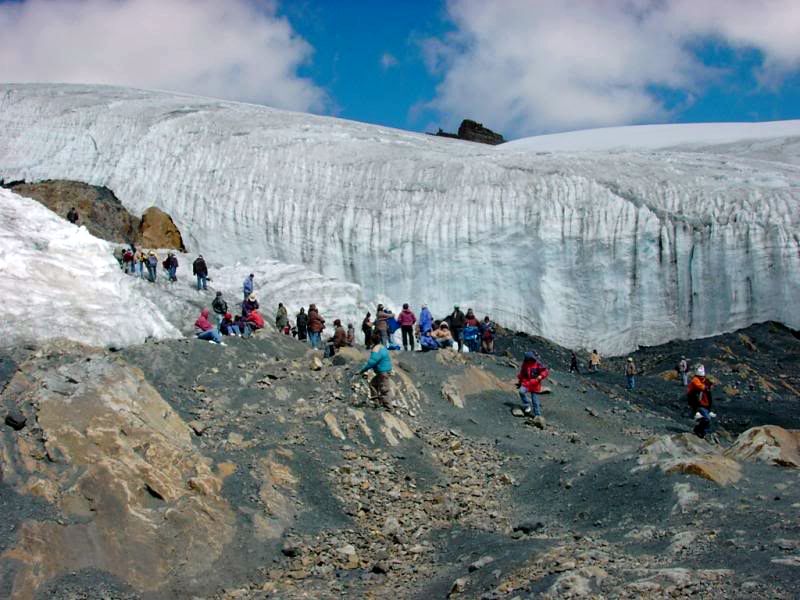
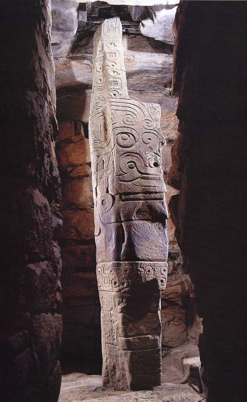
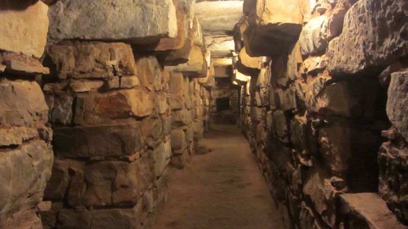
A day excursion also allows you to get close to the glacier of the Nevado Pastoruri, at 4900 meters of altitude. Another excursion lets you visit the archaeological site of Chavin de Huantar, one of the oldest in Peru, which includes underground passages.
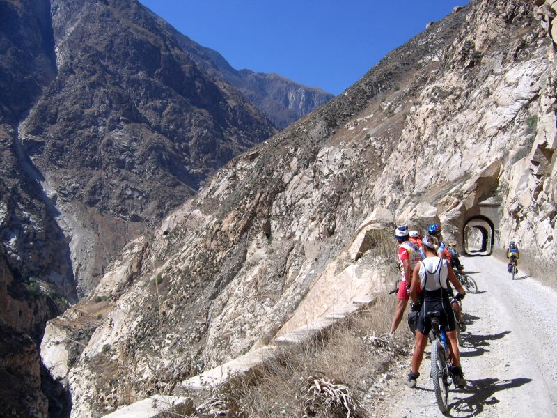
Finally, the Callejon de Huaylas valley ends in a narrow, deep canyon called the "cañón del pato", which can be reached from the village of Caraz.
Maximum daytime temperature (monthly average):
Minimum nighttime temperature (monthly average):
By air
By land
For more information about these hotels, you can check out the Hotels in Huaraz page.
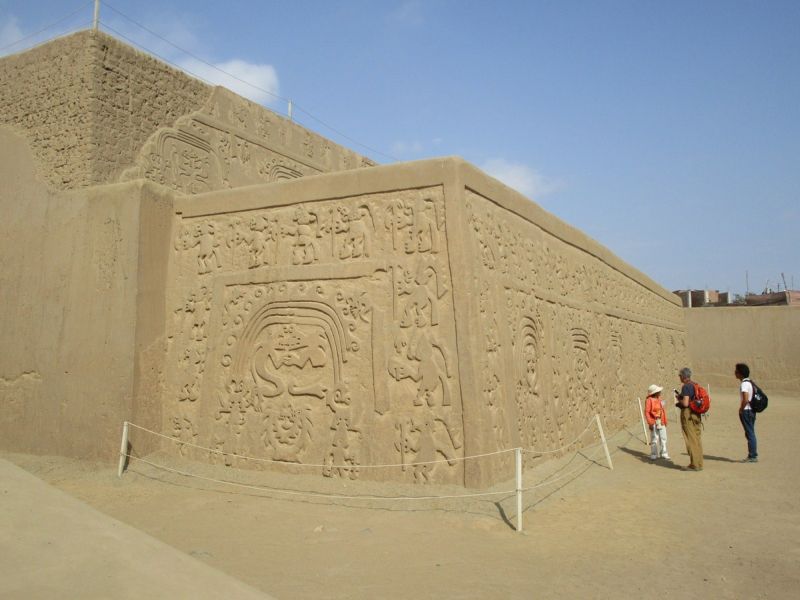
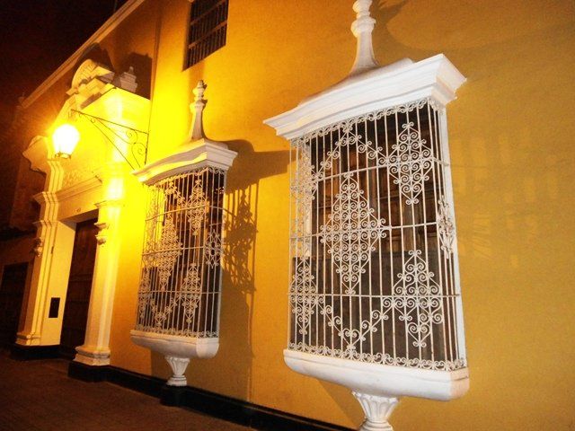
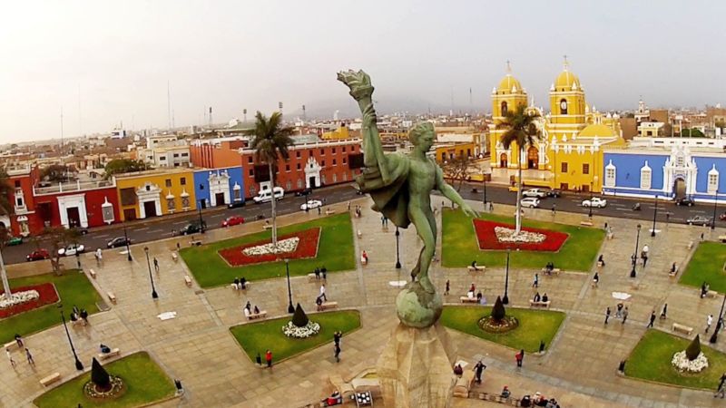
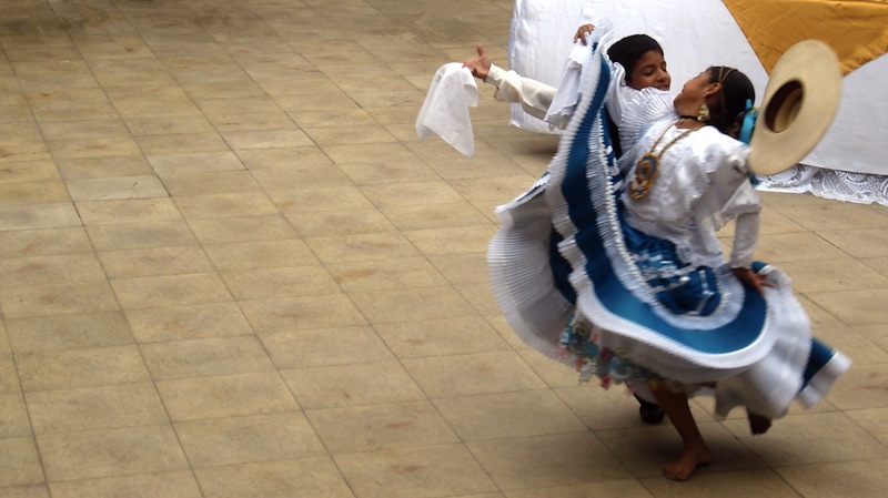
The most important city in northern Peru sits on the coast 500 kilometers from Lima. Its colonial center, one of the best preserved in the country, has many "casonas" and museums worth visiting, and the city is also rich in archaeological treasures: the Chimu and Moche sites of Chan Chan and Huacas del Sol y de la Luna lie just a few kilometers away. With a spring-like climate year-round and Huanchaco beach nearby, Trujillo is an essential stop in northern Peru.
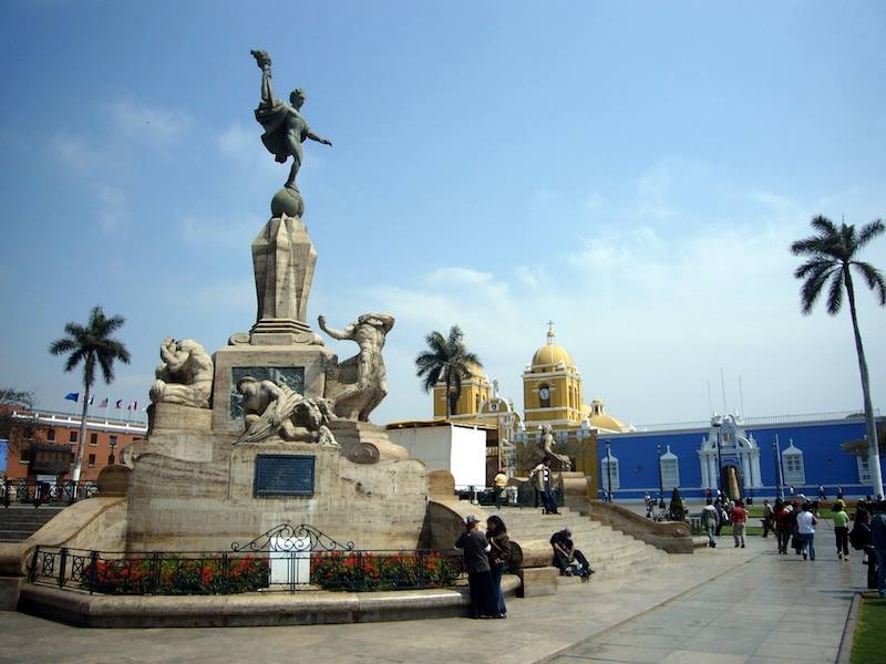
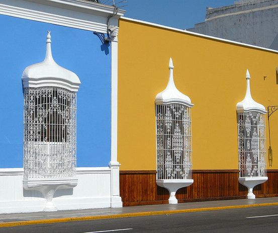
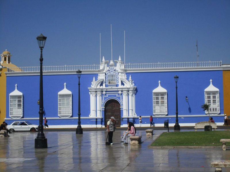
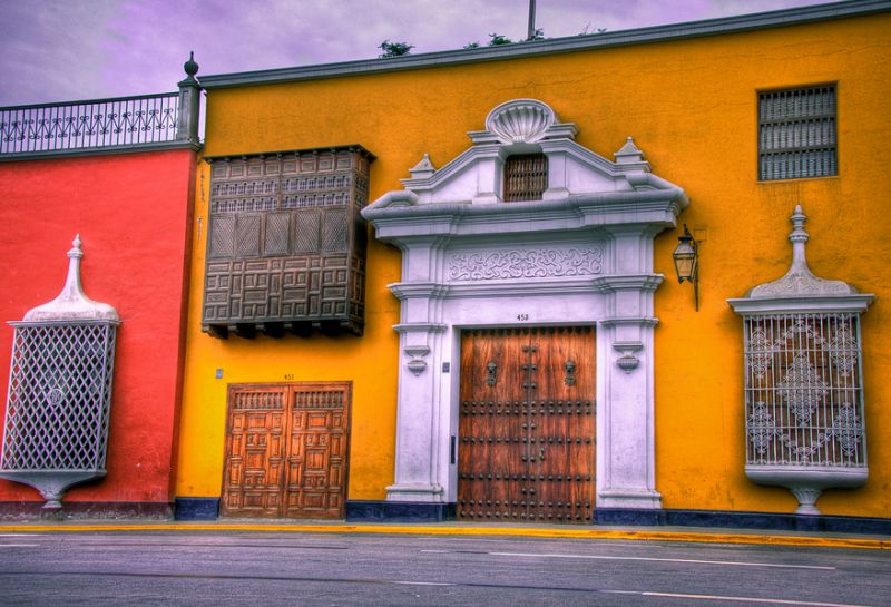
The city of Trujillo itself deserves a half-day visit. Its central square, with colonial façades and distinctive windows, is one of the most beautiful in Peru. The historic center has several well-preserved colonial buildings open to visitors, including the Palacio Iturregui with its Italian marble statues, the Casa Bracamonte, the Casa del Mayorazgo de Facalá with its Mudéjar-style corner balcony, the Casa del Mariscal de Orbegoso, the Casa de la Emancipación, the Casa Ganoza Chopitea with its colorful baroque portal, and the Casa Calonge, which houses a museum of fine Chimu gold ornaments.
The city also has notable religious buildings: the cathedral (built 1666), the churches of San Francisco (18th century), Belén (1680-1708), San Agustín (17th century), and La Merced (rebuilt 17th century), plus the Carmen monastery, one of Trujillo's most interesting architectural complexes, with two cloisters and an art gallery of 150 paintings from the 17th and 18th centuries.
Trujillo also has interesting museums, including the Museo de Arqueología José Cassinelli, with fine objects from the Chimu and Mochica cultures, and the archaeology, anthropology, and history museum of the Universidad Nacional de Trujillo, displaying pieces from the region's various pre-Hispanic cultures.
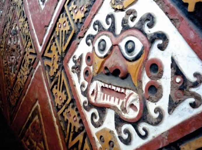
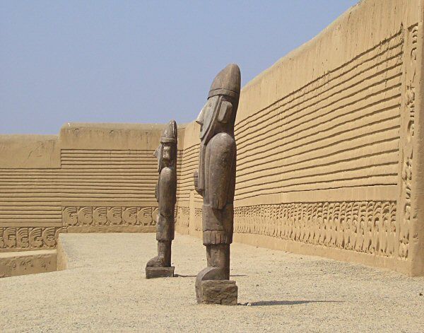
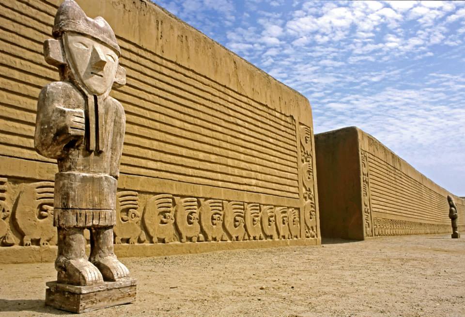
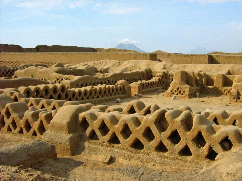
A few kilometers north of the city lies the archaeological site of Chan Chan, a large adobe-brick city that was the most important center of the Chimu civilization, which developed in this region from the 10th to the 15th century before being annexed by the Inca empire. The Chimu were skilled goldsmiths who left behind some of Peru's most beautiful gold jewelry, and some of Chan Chan's walls still show bas-reliefs.
The Huaca del Sol and Huaca de la Luna, a few kilometers south of Trujillo, belong to the Mochica culture of the first millennium AD; these pyramidal complexes are famous for their beautiful polychrome friezes.
Other archaeological sites in the region include El Brujo, 60 kilometers toward Chiclayo, made up of several Huacas, the largest standing 30 meters high; the figure of the head-cutter, typical of this civilization, appears on one of its polychrome friezes.
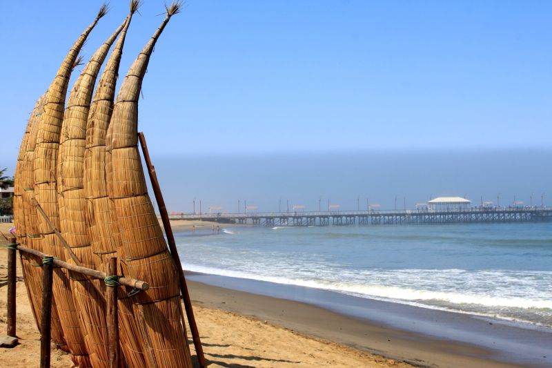
Huanchaco beach, 10 kilometers from Trujillo, is still bathed by the cold waters of the Humboldt current at this latitude, so swimming is only good in summer, from December to March. For water that's swimmable year-round, head further north to the beaches of Mancora and Punta Sal, near the Ecuadorian border.
Maximum daytime temperature (monthly average):
Minimum nighttime temperature (monthly average):
By air
By land
For more information about these hotels, you can see the Hotels in Trujillo page.
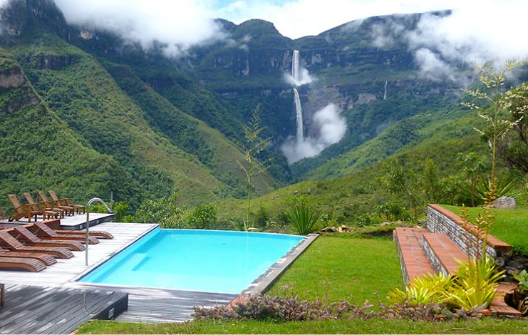
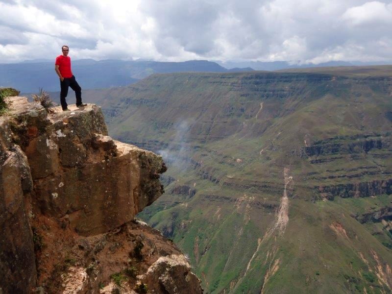
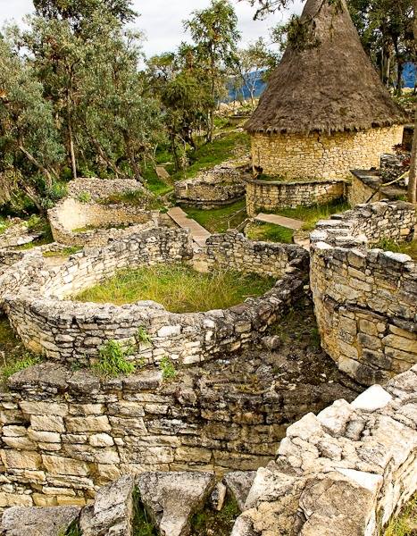
This is one of the most interesting regions of Peru. Its main attraction is the Kuelap fortress, sometimes compared to a second Machu Picchu and the highlight of any trip to northern Peru. But Chachapoyas is above all a region of magnificent mid-mountain landscapes, both green and steep, home to the Gocta waterfall, the highest in Peru and one of the highest in the world.
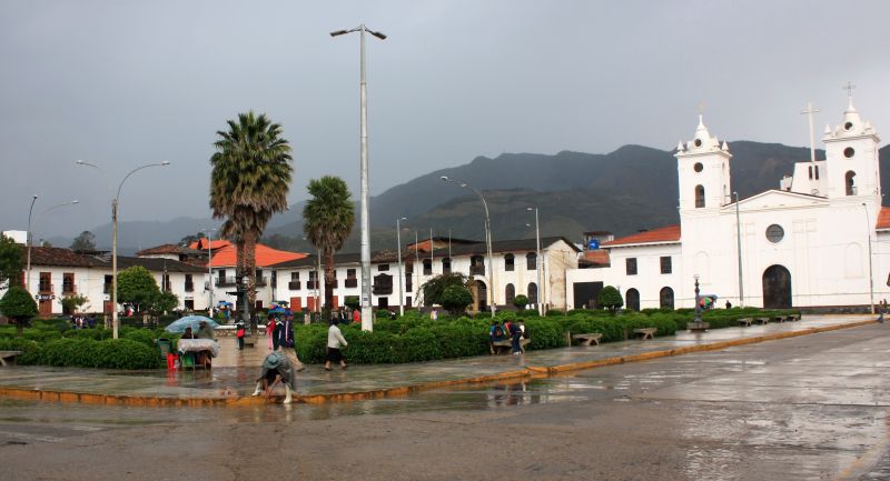
Chachapoyas is a small town, or rather a large village, at an altitude of 2,300 meters, with a temperate, generally sunny climate around 18ºC year-round and a pleasant town center around the main square.
Less than 10 kilometers from Chachapoyas lies the village of Huancas, known for ceramic craftsmanship practiced exclusively by women, and a viewpoint with a spectacular view over the canyon of the Sonche River, 800 meters deep at this point.
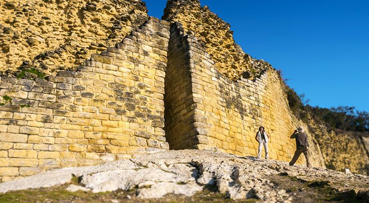
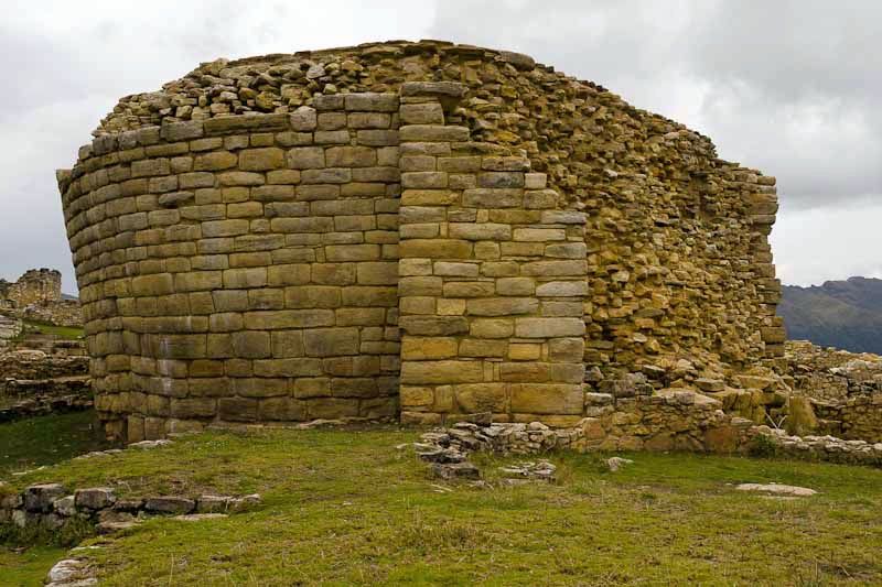
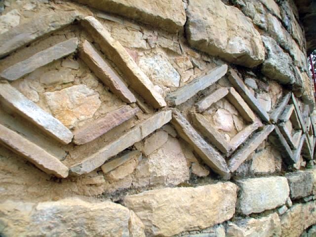
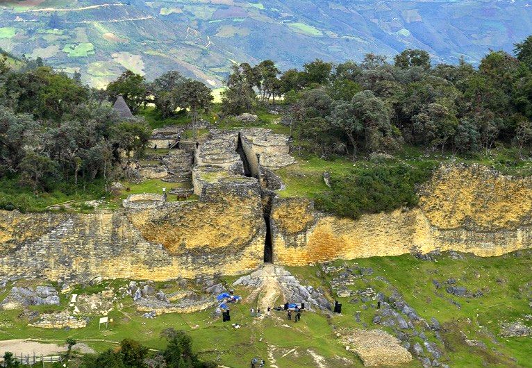
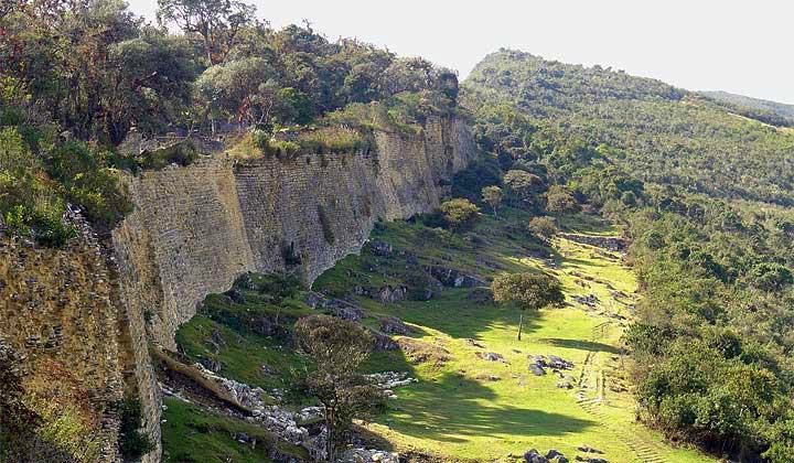
But the Chachapoyas region is mainly visited for the citadel of Kuelap. Perched on a promontory at 3,000 meters altitude, this site towers more than 1,000 meters above the Utcubamba River, with a magnificent view stretching for dozens of kilometers in every direction. It was clearly a strategic point of the highest importance for the Chachapoyas people, and the fortress they built there is one of the most impressive pre-Columbian structures in Peru.
The entire site is built on a platform surrounded by walls more than 10 meters high, a colossal undertaking given the site's topography. With the scale of its construction, its semi-tropical vegetation, and its splendid views, Kuelap is reminiscent of Machu Picchu — lacking only its fame!
Another not-to-be-missed excursion is to Gocta Falls. In a cirque with knife-cut cliffs, this small river drops 770 meters in two stages, making it one of the tallest waterfalls in the world. A marked trail leads to its foot from the village of Gocta through dense vegetation; the round trip takes about 5 hours.
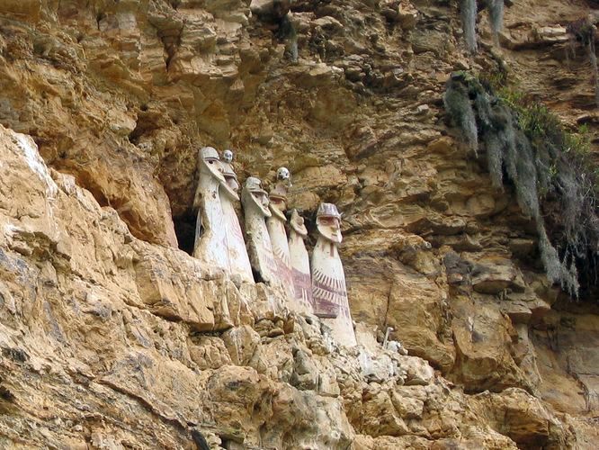
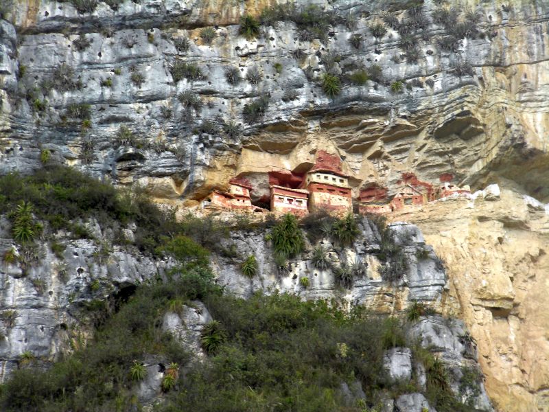
The Karajia sarcophagi are another site well worth an excursion. Belonging to the Chachapoyas culture, they appear to hang suspended in the cliff face, like many constructions in the region.
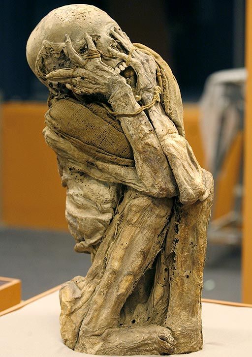
Other points of interest include the Leymebamba museum and its mummy collection, and the chullpas, or funerary houses, of Revash. The region's landscapes also suit multi-day treks for adventurers, far from the classic tourist routes.
Maximum daytime temperature (monthly average):
Minimum nighttime temperature (monthly average):
By air
By road
For more information about these hotels, you can visit the Hotels in Chachapoyas page.
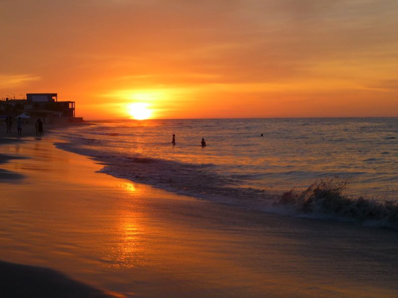
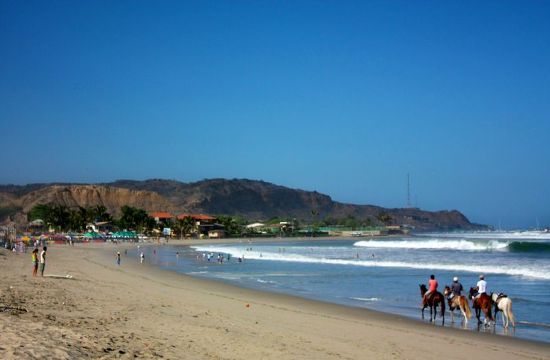
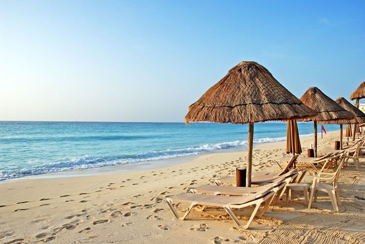
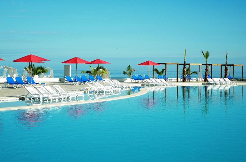
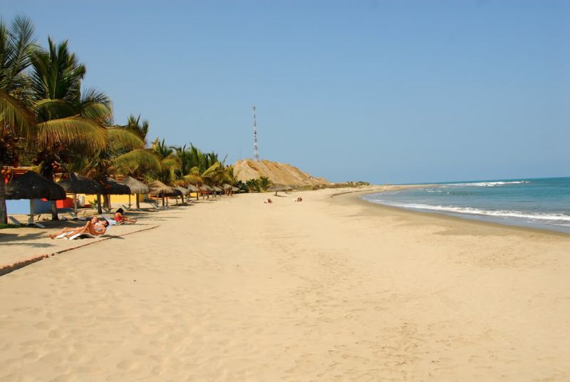
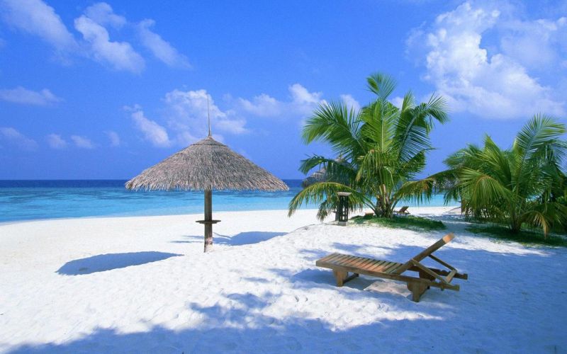
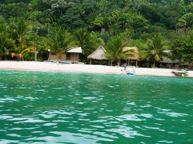
Peru's most beautiful beaches are found in the far north of the country, in the Tumbes region near Ecuador, where the cold Humboldt current moves offshore, giving way to the warm El Niño current. The most popular resorts are Mancora and Punta Sal, with a tropical climate and hotels of all categories — an excellent way to end a trip to Peru with a few days of relaxation, toes in the water!
Although Peru lies between the equator and the Tropic of Capricorn, outside the Amazon its climate is not exactly tropical — partly due to the high altitude of the Andes, and along the coast to the Humboldt Current flowing up from the Antarctic. As a result, the entire Peruvian coast is bathed by this current's cold waters. The entire coast? No, one small region in the far north still holds out against the invader... ;-)
A warmer water current in the Tumbes region turns the climate tropical, and the desert that occupies 2,500 kilometers of the Peruvian coast finally gives way here to vegetation, though the area is still fairly arid.
It is a bit like Peru's Mediterranean, a holiday and second-home destination for the upper classes of Lima, with many hotels of all categories.
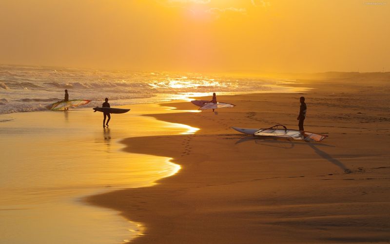
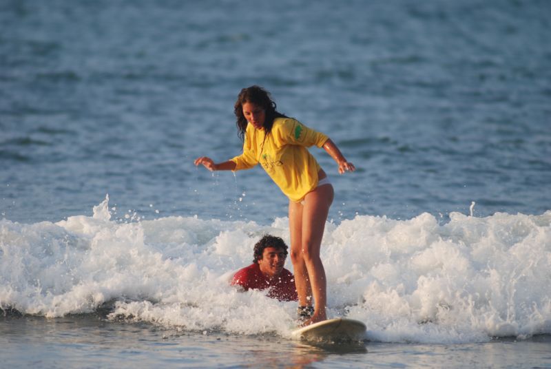
The most renowned beaches are Mancora and Punta Sal. Mancora is livelier, particularly for surfers, while Punta Sal is a bit more exclusive; Punta Sal lies 80 kilometers south of Tumbes, and Mancora another 20 kilometers further.
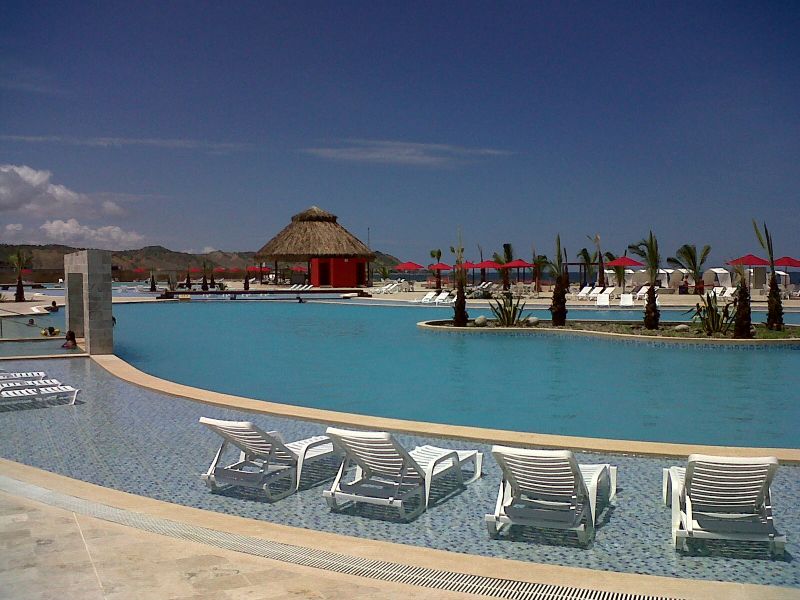
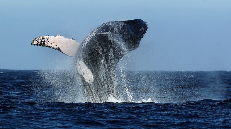
The main activity in Mancora and Punta Sal is, of course, relaxing: the beaches are beautiful, the water pleasant, and many hotels have a pool. You can also enjoy an excursion to the Puerto Pizarro mangroves, surfing and kite-surfing, sea kayaking, and even boat trips to spot humpback whales from August to October.

Maximum daytime temperature (monthly average):
Minimum nighttime temperature (monthly average):
Ocean temperature
By air
By road
For more information about these hotels, you can visit the Hotels in Mancora - Punta Sal page.
With a private, tailor-made itinerary designed just for you, our team on the ground supports you from your first message until your return home.